|
|
 |
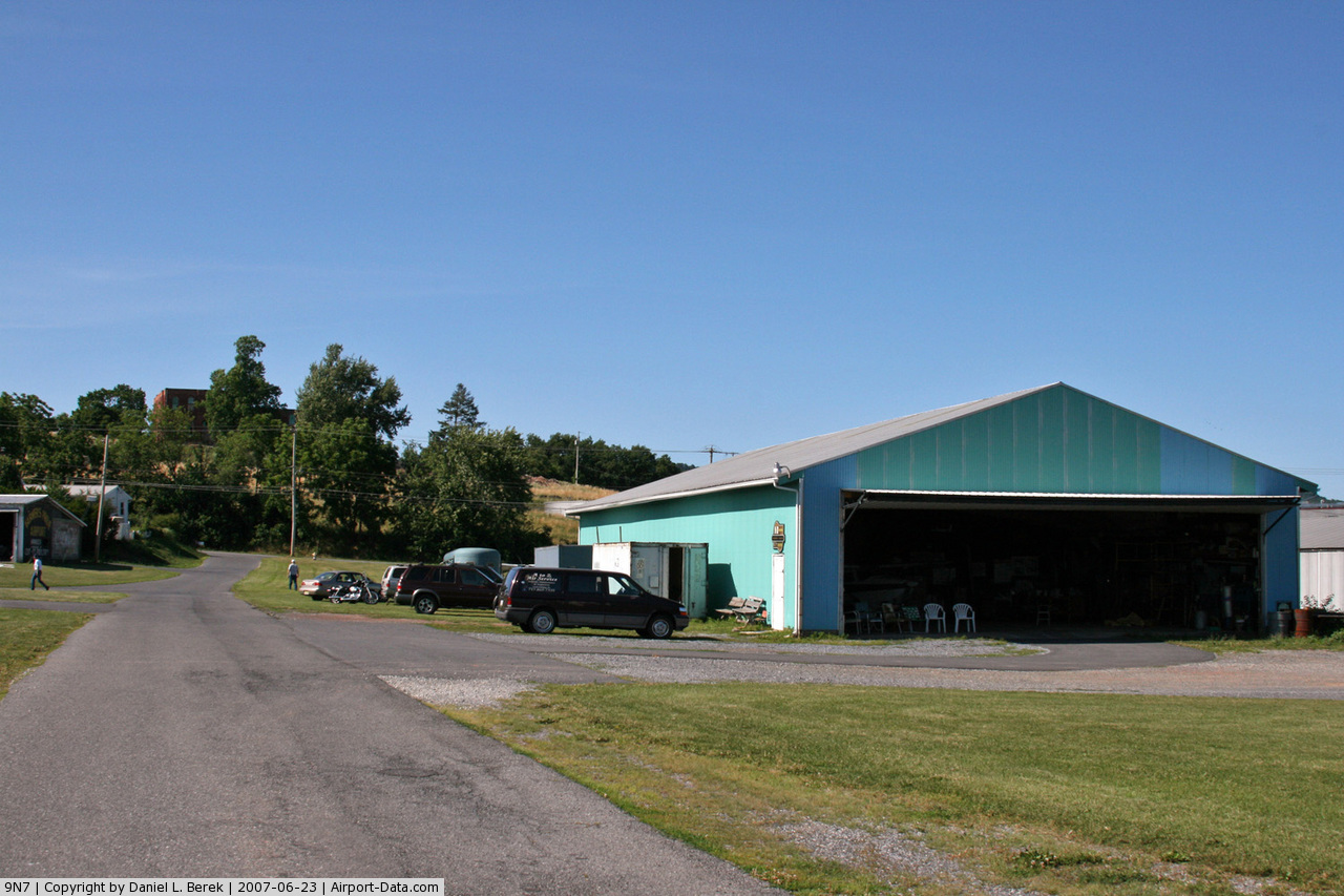
(Click on the photo to enlarge) |
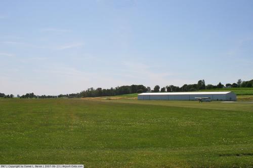 |
(Click on the photo to enlarge) |
Location & QuickFacts
| FAA Information Effective: | 2008-09-25 |
| Airport Identifier: | 9N7 |
| Airport Status: | Operational |
| Longitude/Latitude: | 076-26-29.8580W/40-26-34.3260N
-76.441627/40.442868 (Estimated) |
| Elevation: | 495 ft / 150.88 m (Surveyed) |
| Land: | 90 acres |
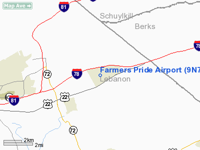
| From nearest city: | 0 nautical miles W of Fredericksburg, PA |
| Location: | Lebanon County, PA |
| Magnetic Variation: | 11W (1985) |
Owner & Manager
| Ownership: | Privately owned |
| Owner: | Alletta M Schadler/barbara Bauer |
| Address: | 215 W. Main St.
Fredericksburg, PA 17026 |
| Phone number: | 717-865-4596 |
| Manager: | Alletta M. Schadler |
| Address: | 151 Airport Road
Fredericksburg, PA 17026 |
| Phone number: | 717-865-4596
CELL PHONE 717-507-0303 OR FAX 717-865-4665. |
Airport Operations and Facilities
| Airport Use: | Open to public |
| Wind indicator: | Yes |
| Segmented Circle: | No |
| Control Tower: | No |
| Lighting Schedule: | RDO-CTL
ACTVT LIRL RY 10/28 & ARPT BCN - CTAF. |
| Beacon Color: | Clear-Green (lighted land airport) |
| Landing fee charge: | No |
| Sectional chart: | New York |
| Region: | AEA - Eastern |
| Boundary ARTCC: | ZNY - New York |
| Tie-in FSS: | IPT - Williamsport |
| FSS on Airport: | No |
| FSS Toll Free: | 1-800-WX-BRIEF |
| NOTAMs Facility: | IPT (NOTAM-d service avaliable) |
Airport Communications
| CTAF: | 122.900 |
| Unicom: | 122.800 |
Airport Services
| Fuel available: | 100LL
ONLY FUEL AVBL TO TSNT ACFT IS EMERG FUEL. |
| Airframe Repair: | MINOR |
| Power Plant Repair: | MINOR |
Runway Information
Runway 10/28
| Dimension: | 3410 x 150 ft / 1039.4 x 45.7 m |
| Surface: | TURF, Good Condition |
| Edge Lights: | Non-standard lighting system
THLD LGTS RY 10 NON STANDARD DUE TO PLACEMENT. |
| |
Runway 10 |
Runway 28 |
| Traffic Pattern: | Left | Left |
| Displaced threshold: | 504.00 ft
DSPLCD THLDS MKD BY 6 SPLIT RED/GREEN LGTS. | 590.00 ft
RY 28 DSPLCD THLDS MKD BY 6 SPLIT RED/GREEN LGTS. |
| Obstruction: | 22 ft trees, 196.0 ft from runway, 127 ft right of centerline, 8:1 slope to clear
RY 10 APCH RATIO 20:1 TO DSPLCD THLD. | 10 ft road, 9.0 ft from runway
RY 28 APCH RATIO 50:1 TO DSPLCD THLD. |
|
Radio Navigation Aids
| ID |
Type |
Name |
Ch |
Freq |
Var |
Dist |
| BZJ | NDB | Bellgrove | | 328.00 | 10W | 5.1 nm |
| EUD | NDB | York | | 254.00 | 11W | 37.3 nm |
| LQX | NDB | Carbon | | 339.00 | 12W | 38.2 nm |
| HXM | NDB | Humbolt | | 366.00 | 10W | 38.6 nm |
| HZL | VOR | Hazleton | | 109.40 | 09W | 35.1 nm |
| ETX | VOR/DME | East Texas | 039X | 110.20 | 09W | 35.6 nm |
| RAV | VORTAC | Ravine | 093X | 114.60 | 11W | 9.8 nm |
| LRP | VORTAC | Lancaster | 120X | 117.30 | 09W | 20.6 nm |
| SEG | VORTAC | Selinsgrove | 041X | 110.40 | 08W | 29.1 nm |
| HAR | VORTAC | Harrisburg | 072X | 112.50 | 10W | 30.0 nm |
| MIP | VORTAC | Milton | 029X | 109.20 | 09W | 36.4 nm |
| PTW | VORTAC | Pottstown | 112X | 116.50 | 09W | 42.5 nm |
| MXE | VORTAC | Modena | 079X | 113.20 | 09W | 47.4 nm |
| FJC | VORTAC | Allentown | 122X | 117.50 | 10W | 48.2 nm |
| MDT | VOT | Harrisburg International | | 110.00 | | 20.8 nm |
Remarks
- ORANGE 6 FT TETRAHEDRON NEXT TO THE WINDSOCK ON THE SOUTH SIDE OF THE RY NEXT TO THE WINDSOCK.
Images and information placed above are from
http://www.airport-data.com/airport/9N7/
We thank them for the data!
| General Info
|
| Country |
United States
|
| State |
PENNSYLVANIA
|
| FAA ID |
9N7
|
| Latitude |
40-26-34.326N
|
| Longitude |
076-26-29.858W
|
| Elevation |
495 feet
|
| Near City |
FREDERICKSBURG
|
We don't guarantee the information is fresh and accurate. The data may
be wrong or outdated.
For more up-to-date information please refer to other sources.
|
|