 |
|
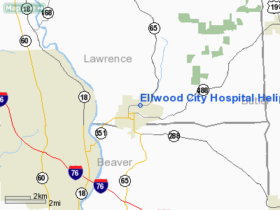
Ellwood City Hospital Heliport |
Location & QuickFacts
| FAA Information Effective: | 2008-09-25 |
| Airport Identifier: | 6PS0 |
| Airport Status: | Operational |
| Longitude/Latitude: | 080-16-34.2240W/40-52-02.2280N
-80.276173/40.867286 (Estimated) |
| Elevation: | 965 ft / 294.13 m (Estimated) |
| Land: | 3 acres |
| From nearest city: | 1 nautical miles N of Ellwood City, PA |
| Location: | Lawrence County, PA |
| Magnetic Variation: | 07W (1985) |
Owner & Manager
| Ownership: | Privately owned |
| Owner: | Ellwood City Hospital |
| Address: | 724 Pershing St.
Ellwood City, PA 16117 |
| Phone number: | 412-752-0081 |
| Manager: | Harry Cobbett |
| Address: | 724 Pershing St.
Ellwood City, PA 16117 |
| Phone number: | 412-752-0081 |
Airport Operations and Facilities
| Airport Use: | Private
MEDICAL USE. |
| Wind indicator: | Yes |
| Segmented Circle: | No |
| Control Tower: | No |
| Sectional chart: | Cincinnati |
| Region: | AEA - Eastern |
| Boundary ARTCC: | ZOB - Cleveland |
| Tie-in FSS: | AOO - Altoona |
| FSS Toll Free: | 1-800-WX-BRIEF |
Runway Information
Helipad H1
| Dimension: | 40 x 40 ft / 12.2 x 12.2 m |
| Surface: | CONC, |
| |
Runway H1 |
Runway |
| Traffic Pattern: | Left | Left |
|
Radio Navigation Aids
| ID |
Type |
Name |
Ch |
Freq |
Var |
Dist |
| UCP | NDB | Castle | | 272.00 | 09W | 11.3 nm |
| HBD | NDB | Hubbard | | 408.00 | 08W | 20.7 nm |
| MKP | NDB | Mc Keesport | | 287.00 | 07W | 38.2 nm |
| TSO | NDB | Tolson | | 395.00 | 07W | 40.8 nm |
| PNU | NDB | Washington County | | 255.00 | 08W | 43.8 nm |
| FKL | VOR | Franklin | | 109.60 | 06W | 39.2 nm |
| AGC | VOR/DME | Allegheny | 037X | 110.00 | 09W | 37.0 nm |
| HLG | VOR/DME | Wheeling | 059X | 112.20 | 07W | 38.9 nm |
| CIP | VOR/DME | Clarion | 076X | 112.90 | 06W | 40.7 nm |
| ACO | VOR/DME | Akron | 091X | 114.40 | 04W | 44.4 nm |
| EWC | VORTAC | Ellwood City | 105X | 115.80 | 08W | 3.9 nm |
| MMJ | VORTAC | Montour | 057X | 112.00 | 08W | 23.1 nm |
| YNG | VORTAC | Youngstown | 027X | 109.00 | 05W | 33.2 nm |
Images and information placed above are from
http://www.airport-data.com/airport/6PS0/
We thank them for the data!
| General Info
|
| Country |
United States
|
| State |
PENNSYLVANIA
|
| FAA ID |
6PS0
|
| Latitude |
40-52-02.228N
|
| Longitude |
080-16-34.224W
|
| Elevation |
965 feet
|
| Near City |
ELLWOOD CITY
|
We don't guarantee the information is fresh and accurate. The data may
be wrong or outdated.
For more up-to-date information please refer to other sources.
|
|


