 |
|
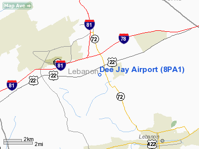
Location & QuickFacts
| FAA Information Effective: | 2008-09-25 |
| Airport Identifier: | 8PA1 |
| Airport Status: | Operational |
| Longitude/Latitude: | 076-30-13.8720W/40-24-30.3250N
-76.503853/40.408424 (Estimated) |
| Elevation: | 505 ft / 153.92 m (Estimated) |
| Land: | 12 acres |
| From nearest city: | 2 nautical miles E of Ono, PA |
| Location: | Lebanon County, PA |
| Magnetic Variation: | 11W (1985) |
Owner & Manager
| Ownership: | Privately owned |
| Owner: | Warren F. Daugherty, Jr. |
| Address: | 207 Hathaway Park
Lebanon, PA 17042
ARPT: RD 1, JONESTOWN, PA 17038. |
| Phone number: | 717-272-0958 |
| Manager: | James W. Shindel |
| Address: | R.d. 3 - Box 7662
Jonestown, PA 17038 |
| Phone number: | 717-865-5420 |
Airport Operations and Facilities
| Airport Use: | Private |
| Wind indicator: | Yes |
| Segmented Circle: | No |
| Control Tower: | No |
| Lighting Schedule: | PHONE REQ
FOR LIRL RY 09/27 CALL 717-865-5420. |
| Landing fee charge: | No |
| Sectional chart: | New York |
| Region: | AEA - Eastern |
| Boundary ARTCC: | ZNY - New York |
| Tie-in FSS: | IPT - Williamsport |
| FSS on Airport: | No |
| FSS Toll Free: | 1-800-WX-BRIEF |
Airport Services
| Airframe Repair: | NONE |
| Power Plant Repair: | NONE |
Runway Information
Runway 09/27
| Dimension: | 1800 x 125 ft / 548.6 x 38.1 m |
| Surface: | TURF, |
| Edge Lights: | Non-standard lighting system
NSTD LIRL; RY LGTS ON S SIDE OF RY ONLY. |
| |
Runway 09 |
Runway 27 |
| Traffic Pattern: | Left | Left |
|
Radio Navigation Aids
| ID |
Type |
Name |
Ch |
Freq |
Var |
Dist |
| BZJ | NDB | Bellgrove | | 328.00 | 10W | 2.8 nm |
| EUD | NDB | York | | 254.00 | 11W | 34.0 nm |
| LQX | NDB | Carbon | | 339.00 | 12W | 41.8 nm |
| HXM | NDB | Humbolt | | 366.00 | 10W | 41.8 nm |
| HZL | VOR | Hazleton | | 109.40 | 09W | 38.2 nm |
| ETX | VOR/DME | East Texas | 039X | 110.20 | 09W | 38.9 nm |
| RAV | VORTAC | Ravine | 093X | 114.60 | 11W | 9.7 nm |
| LRP | VORTAC | Lancaster | 120X | 117.30 | 09W | 19.9 nm |
| HAR | VORTAC | Harrisburg | 072X | 112.50 | 10W | 26.7 nm |
| SEG | VORTAC | Selinsgrove | 041X | 110.40 | 08W | 28.8 nm |
| MIP | VORTAC | Milton | 029X | 109.20 | 09W | 37.7 nm |
| PTW | VORTAC | Pottstown | 112X | 116.50 | 09W | 44.7 nm |
| MXE | VORTAC | Modena | 079X | 113.20 | 09W | 48.3 nm |
| MDT | VOT | Harrisburg International | | 110.00 | | 17.4 nm |
Remarks
- FIRST TIME USERS CTC AMGR FOR RY DOG-LEG INFO.
Images and information placed above are from
http://www.airport-data.com/airport/8PA1/
We thank them for the data!
| General Info
|
| Country |
United States
|
| State |
PENNSYLVANIA
|
| FAA ID |
8PA1
|
| Latitude |
40-24-30.325N
|
| Longitude |
076-30-13.872W
|
| Elevation |
505 feet
|
| Near City |
ONO
|
We don't guarantee the information is fresh and accurate. The data may
be wrong or outdated.
For more up-to-date information please refer to other sources.
|
|


