|
|
| Danville Airport |
| IATA: none – ICAO: none – FAA LID: 8N8 |
| Summary |
| Airport type |
Public |
| Owner |
Montour & Northumberland Cmsn. |
| Serves |
Danville, Pennsylvania |
| Elevation AMSL |
559 ft / 170 m |
| Coordinates |
40°57′05″N 076°38′34″W / 40.95139°N 76.64278°W / 40.95139; -76.64278 |
| Runways |
| Direction |
Length |
Surface |
| ft |
m |
| 9/27 |
3,000 |
914 |
Asphalt |
| Statistics (2008) |
| Aircraft operations |
30,000 |
| Based aircraft |
38 |
| Source: Federal Aviation Administration |
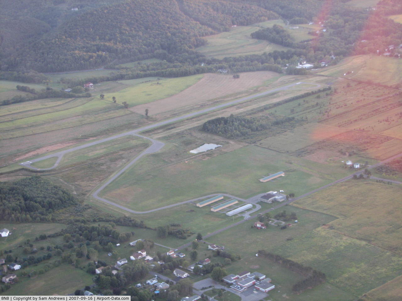
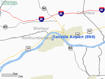
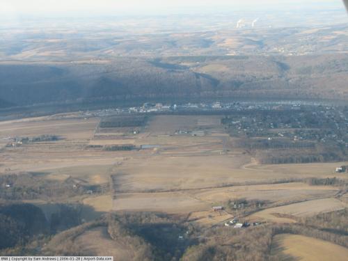
Danville Airport (FAA LID: 8N8) is a public use airport in Northumberland County, Pennsylvania, United States. It is located three nautical miles (6 km) southwest of the central business district of Danville, a borough in Montour County. The airport is owned by the Montour & Northumberland County Commissioners.
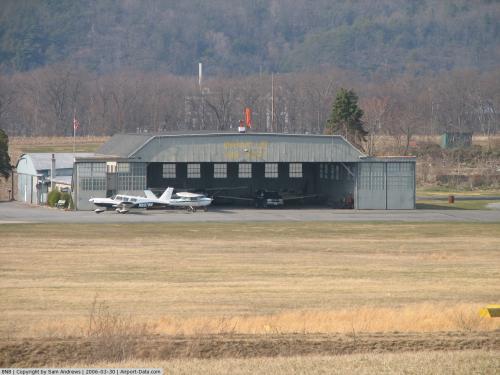
Facilities and aircraft
Danville Airport covers an area of 114 acres (46 ha) at an elevation of 559 feet (170 m) above mean sea level. It has one asphalt paved runway designated 9/27 which measures 3,000 by 60 feet (914 x 18 m).
The airport previously had two turf runways: 9/27 which measured 2,140 by 350 feet (652 × 107 m) (located north of the new 9/27 asphalt runway) and 15/33 measuring 2,170 by 198 feet (661 × 60 m).
For the 12-month period ending August 6, 2008, the airport had 30,000 general aviation aircraft operations, an average of 82 per day. At that time there were 38 aircraft based at this airport, all single-engine.
The above content comes from Wikipedia and is published under free licenses – click here to read more.
 |
(Click on the photo to enlarge) |
 |
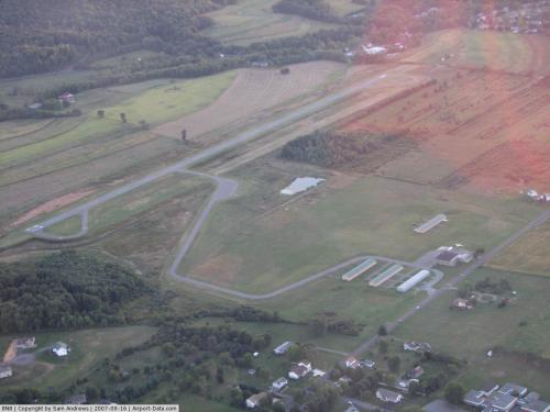
(Click on the photo to enlarge) |
 |
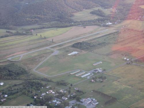
(Click on the photo to enlarge) |
 |
(Click on the photo to enlarge) |
Location & QuickFacts
| FAA Information Effective: | 2008-09-25 |
| Airport Identifier: | 8N8 |
| Airport Status: | Operational |
| Longitude/Latitude: | 076-38-33.8450W/40-57-05.3110N
-76.642735/40.951475 (Estimated) |
| Elevation: | 559 ft / 170.38 m (Surveyed) |
| Land: | 114 acres |
| From nearest city: | 3 nautical miles SW of Danville, PA |
| Location: | Northumberland County, PA |
| Magnetic Variation: | 11W (1985) |
Owner & Manager
| Ownership: | Publicly owned |
| Owner: | Montour & Northumberland Cmsn
CHAIRMAN KURT MASSER |
| Address: | Montour County Court House 29 Mill, St
Danville, PA 17821 |
| Phone number: | 570-271-3000 |
| Manager: | Joseph W. Fox |
| Address: | Po Box 215
Danville, PA 17821 |
| Phone number: | 570-275-4980 |
Airport Operations and Facilities
| Airport Use: | Open to public |
| Wind indicator: | Yes |
| Segmented Circle: | Yes |
| Control Tower: | No |
| Lighting Schedule: | PHONE REQ
FOR ROTG BCN CALL 570-672-9708. |
| Beacon Color: | Clear-Green (lighted land airport) |
| Landing fee charge: | No |
| Sectional chart: | New York |
| Region: | AEA - Eastern |
| Boundary ARTCC: | ZNY - New York |
| Tie-in FSS: | IPT - Williamsport |
| FSS on Airport: | No |
| FSS Toll Free: | 1-800-WX-BRIEF |
| NOTAMs Facility: | IPT (NOTAM-d service avaliable) |
Airport Communications
| CTAF: | 122.800 |
| Unicom: | 122.800 |
Airport Services
| Fuel available: | 100LL |
| Airframe Repair: | MAJOR |
| Power Plant Repair: | MAJOR |
| Bottled Oxygen: | NONE |
| Bulk Oxygen: | NONE |
Runway Information
Runway 09/27
| Dimension: | 3000 x 60 ft / 914.4 x 18.3 m |
| Surface: | ASPH, Good Condition |
| Weight Limit: | Single wheel: 125000 lbs. |
| Edge Lights: | Medium |
| |
Runway 09 |
Runway 27 |
| Longitude: | 076-38-58.7000W | 076-38-21.1000W |
| Latitude: | 40-56-49.4400N | 40-56-57.5600N |
| Elevation: | 540.00 ft | 553.00 ft |
| Traffic Pattern: | Left | Left |
| Markings: | Basic, Good Condition | Basic, Good Condition |
| Obstruction: | 9 ft trees, 238.0 ft from runway, 60 ft left of centerline, 4:1 slope to clear | 62 ft trees, 1263.0 ft from runway, 82 ft left of centerline, 17:1 slope to clear
RY 27 HAS BRUSH 6 FT HIGH 184 FT EAST ACROSS APCH. |
|
Radio Navigation Aids
| ID |
Type |
Name |
Ch |
Freq |
Var |
Dist |
| PIX | NDB | Picture Rocks | | 344.00 | 09W | 19.8 nm |
| HXM | NDB | Humbolt | | 366.00 | 10W | 29.4 nm |
| BZJ | NDB | Bellgrove | | 328.00 | 10W | 31.3 nm |
| CYE | NDB | Crystal Lake | | 410.00 | 11W | 39.9 nm |
| LQX | NDB | Carbon | | 339.00 | 12W | 41.0 nm |
| HZL | VOR | Hazleton | | 109.40 | 09W | 23.5 nm |
| FQM | VOR/DME | Williamsport | 091X | 114.40 | 09W | 24.0 nm |
| ETX | VOR/DME | East Texas | 039X | 110.20 | 09W | 49.0 nm |
| MIP | VORTAC | Milton | 029X | 109.20 | 09W | 4.4 nm |
| SEG | VORTAC | Selinsgrove | 041X | 110.40 | 08W | 14.6 nm |
| RAV | VORTAC | Ravine | 093X | 114.60 | 11W | 24.0 nm |
| HAR | VORTAC | Harrisburg | 072X | 112.50 | 10W | 43.6 nm |
| LVZ | VORTAC | Wilkes-barre | 053X | 111.60 | 10W | 47.3 nm |
| MDT | VOT | Harrisburg International | | 110.00 | | 45.6 nm |
Remarks
- EXISTED PRIOR TO MAY 15 1959
Images and information placed above are from
http://www.airport-data.com/airport/8N8/
We thank them for the data!
| General Info
|
| Country |
United States
|
| State |
PENNSYLVANIA
|
| FAA ID |
8N8
|
| Latitude |
40-57-05.311N
|
| Longitude |
076-38-33.845W
|
| Elevation |
559 feet
|
| Near City |
DANVILLE
|
We don't guarantee the information is fresh and accurate. The data may
be wrong or outdated.
For more up-to-date information please refer to other sources.
|
|