|
|
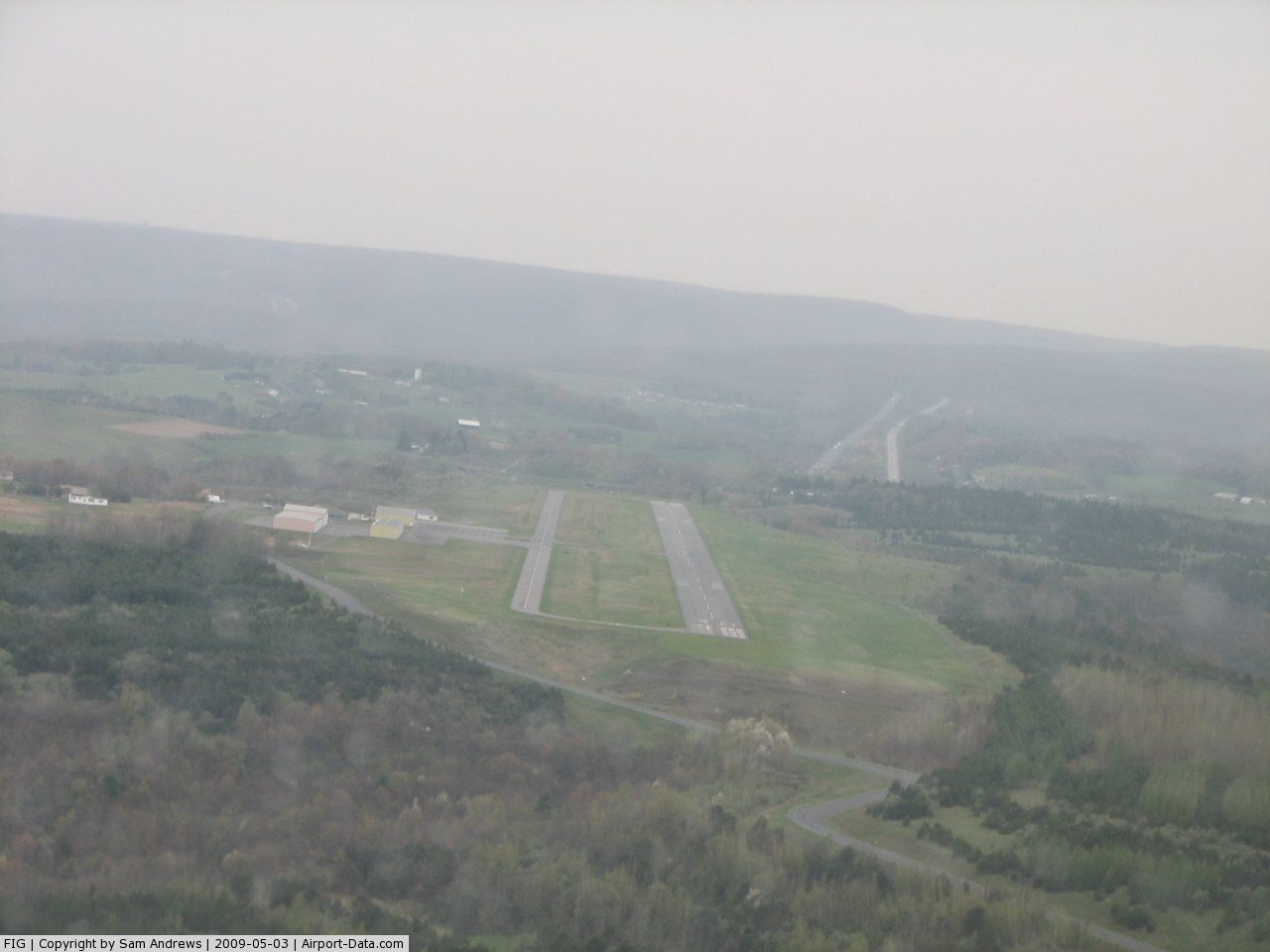
Clearfield-lawrence Airport |

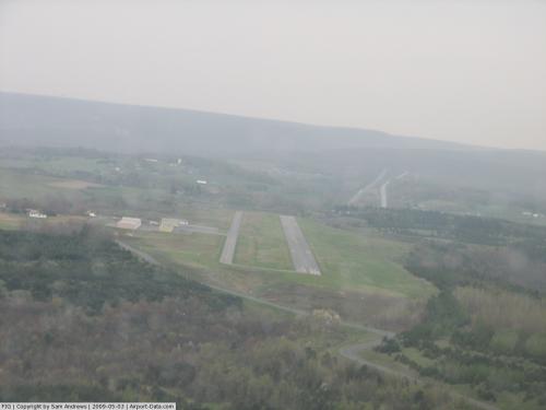 |
(Click on the photo to enlarge) |
Location & QuickFacts
| FAA Information Effective: | 2008-09-25 |
| Airport Identifier: | FIG |
| Airport Status: | Operational |
| Longitude/Latitude: | 078-24-47.1710W/41-02-55.0070N
-78.413103/41.048613 (Estimated) |
| Elevation: | 1516 ft / 462.08 m (Estimated) |
| Land: | 154 acres |
| From nearest city: | 2 nautical miles NE of Clearfield, PA |
| Location: | Clearfield County, PA |
| Magnetic Variation: | 10W (2000) |
Owner & Manager
| Ownership: | Publicly owned |
| Owner: | Clearfield-lawrence Airport Authori
SUPERVISORS. |
| Address: | 801 Airport Rd
Clearfield, PA 16830 |
| Phone number: | 814-768-7710 |
| Manager: | Rich Shaffer |
| Address: | 801 Airport Rd
Clearfield, PA 16830 |
| Phone number: | 814-765-9108
814-768-7710 WHEN MGR NOT AT OTHER NR. |
Airport Operations and Facilities
| Airport Use: | Open to public |
| Wind indicator: | Yes |
| Segmented Circle: | Yes |
| Control Tower: | No |
| Lighting Schedule: | RDO-CTL
ACTVT MIRL RYS 12/30;REIL RY 30; PAPI RYS 12 & 30; 122.725. |
| Beacon Color: | Clear-Green (lighted land airport) |
| Landing fee charge: | No |
| Sectional chart: | Detroit |
| Region: | AEA - Eastern |
| Boundary ARTCC: | ZOB - Cleveland |
| Responsible ARTCC: | ZNY - New York |
| Tie-in FSS: | AOO - Altoona |
| FSS on Airport: | No |
| FSS Toll Free: | 1-800-WX-BRIEF |
| NOTAMs Facility: | FIG (NOTAM-d service avaliable) |
| Federal Agreements: | NGVY |
Airport Communications
| CTAF: | 122.725 |
| Unicom: | 122.725 |
Airport Services
| Fuel available: | 100LLA |
| Bottled Oxygen: | NONE |
| Bulk Oxygen: | NONE |
Runway Information
Runway 12/30
| Dimension: | 4500 x 75 ft / 1371.6 x 22.9 m |
| Surface: | ASPH, Good Condition |
| Weight Limit: | Single wheel: 12500 lbs. |
| Edge Lights: | Medium |
| |
Runway 12 |
Runway 30 |
| Longitude: | 078-25-14.9300W | 078-24-19.3700W |
| Latitude: | 41-03-02.1700N | 41-02-47.7700N |
| Elevation: | 1510.00 ft | 1512.00 ft |
| Alignment: | 109 | 127 |
| Traffic Pattern: | Left | Left |
| Markings: | Non-precision instrument, Good Condition | Non-precision instrument, Good Condition |
| Crossing Height: | 29.00 ft | 27.00 ft |
| VASI: | 2-light PAPI on left side | 4-light PAPI on left side |
| Visual Glide Angle: | 3.10° | 3.00° |
| Runway End Identifier: | | Yes |
| Obstruction: | 25 ft tree, 796.0 ft from runway, 93 ft left of centerline, 24:1 slope to clear | , 50:1 slope to clear |
|
Radio Navigation Aids
| ID |
Type |
Name |
Ch |
Freq |
Var |
Dist |
| INP | NDB | Indiana | | 242.00 | 08W | 38.8 nm |
| RV | NDB | Stroh | | 407.00 | 10W | 41.0 nm |
| AOO | VOR | Altoona | | 108.80 | 07W | 43.8 nm |
| REC | VOR/DME | Revloc | 043X | 110.60 | 09W | 33.8 nm |
| BFD | VOR/DME | Bradford | 113X | 116.60 | 07W | 45.3 nm |
| CIP | VOR/DME | Clarion | 076X | 112.90 | 06W | 47.7 nm |
| ETG | VORTAC | Keating | 107X | 116.00 | 10W | 15.8 nm |
| TON | VORTAC | Tyrone | 096X | 114.90 | 07W | 19.2 nm |
| PSB | VORTAC | Philipsburg | 102X | 115.50 | 10W | 20.7 nm |
| SLT | VORTAC | Slate Run | 086X | 113.90 | 08W | 34.3 nm |
| JST | VORTAC | Johnstown | 077X | 113.00 | 06W | 48.0 nm |
Remarks
- DEER & BIRDS ON RY PERIODICALLY.
Images and information placed above are from
http://www.airport-data.com/airport/FIG/
We thank them for the data!
| General Info
|
| Country |
United States
|
| State |
PENNSYLVANIA
|
| FAA ID |
FIG
|
| Latitude |
41-02-55.007N
|
| Longitude |
078-24-47.171W
|
| Elevation |
1516 feet
|
| Near City |
CLEARFIELD
|
We don't guarantee the information is fresh and accurate. The data may
be wrong or outdated.
For more up-to-date information please refer to other sources.
|
|