|
|
 |
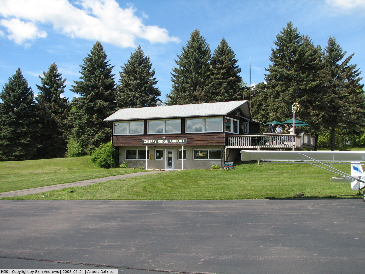
(Click on the photo to enlarge) |
 |
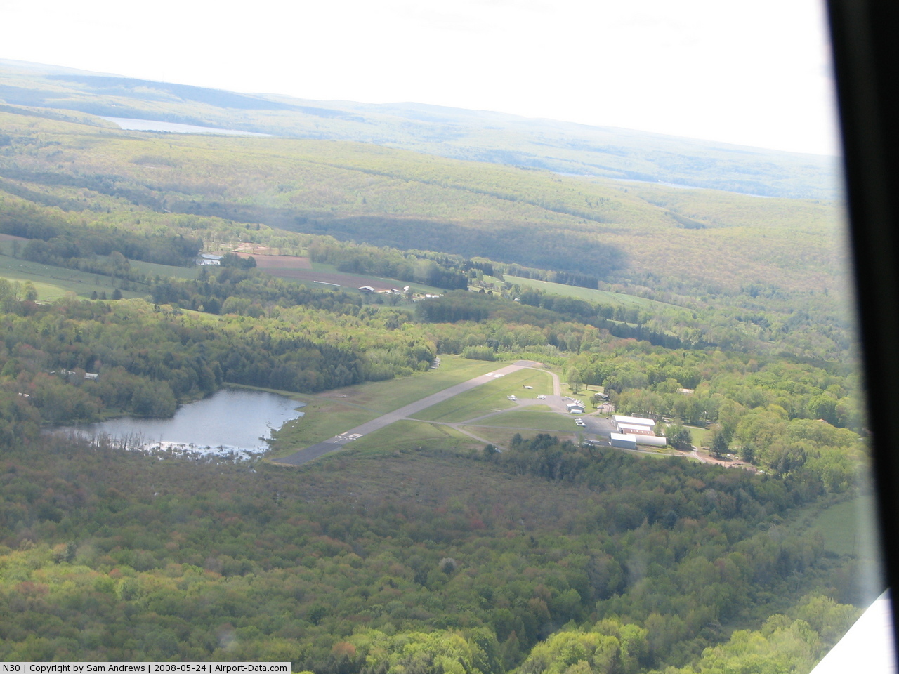
(Click on the photo to enlarge) |
 |
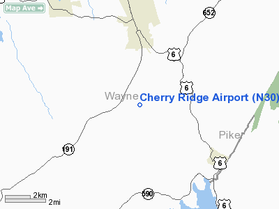
(Click on the photo to enlarge) |
 |
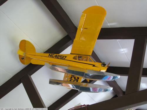
(Click on the photo to enlarge) |
Location & QuickFacts
| FAA Information Effective: | 2008-09-25 |
| Airport Identifier: | N30 |
| Airport Status: | Operational |
| Longitude/Latitude: | 075-15-05.3330W/41-30-55.2190N
-75.251481/41.515339 (Estimated) |
| Elevation: | 1357 ft / 413.61 m (Estimated) |
| Land: | 100 acres |
| From nearest city: | 3 nautical miles S of Honesdale, PA |
| Location: | Wayne County, PA |
| Magnetic Variation: | 13W (2005) |
Owner & Manager
| Ownership: | Privately owned |
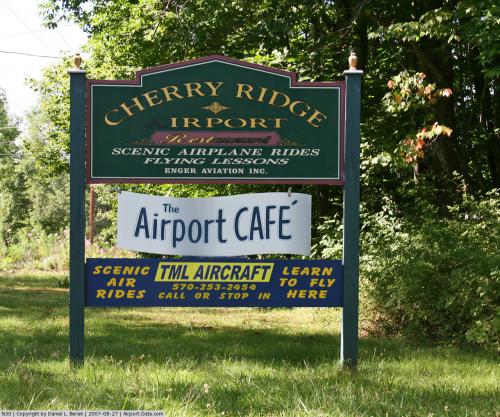
| Owner: | Enger Aviation Inc. |
| Address: | 30 Bomber Lane
Honesdale, PA 18431 |
| Phone number: | 570-253-5833 |
| Manager: | Rick Enger |
| Address: | 30 Bomber Lane
Honesdale, PA 18431 |
| Phone number: | 570-253-5833 |
Airport Operations and Facilities
| Airport Use: | Open to public |
| Wind indicator: | Yes |
| Segmented Circle: | No |
| Control Tower: | No |
| Lighting Schedule: | RDO-CTL
ACTVT BCN AND LIRL RY 18/36 - 122.75. |
| Beacon Color: | Clear-Green (lighted land airport)
ABN OTS INDEFLY. |
| Landing fee charge: | No |
| Sectional chart: | New York |
| Region: | AEA - Eastern |
| Boundary ARTCC: | ZNY - New York |
| Tie-in FSS: | IPT - Williamsport |
| FSS on Airport: | No |
| FSS Toll Free: | 1-800-WX-BRIEF |
| NOTAMs Facility: | IPT (NOTAM-d service avaliable) |
| Federal Agreements: | N |
Airport Communications
| CTAF: | 122.800 |
| Unicom: | 122.800 |
Airport Services
| Fuel available: | 100LL
FOR FUEL AFT HRS CALL AMGR 570-253-2276. |
| Airframe Repair: | MAJOR |
| Power Plant Repair: | MAJOR |
| Bottled Oxygen: | NONE |
| Bulk Oxygen: | NONE |
Runway Information
Runway 18/36
| Dimension: | 2420 x 50 ft / 737.6 x 15.2 m |
| Surface: | ASPH, Good Condition |
| Weight Limit: | Single wheel: 10000 lbs. |
| Edge Lights: | Non-standard lighting system
NSTD LIRL 55 FT FROM RWY EDGE |
| |
Runway 18 |
Runway 36 |
| Longitude: | 075-15-08.9310W | 075-15-01.7280W |
| Latitude: | 41-31-06.8080N | 41-30-43.5160N |
| Elevation: | 1344.00 ft | 0.00 ft |
| Alignment: | 127 | 127 |
| Traffic Pattern: | Left | Left |
| Markings: | Basic, Good Condition | Basic, Good Condition |
| Displaced threshold: | 0.00 ft | 417.00 ft |
| Obstruction: | 52 ft trees, 1052.0 ft from runway, 282 ft right of centerline, 15:1 slope to clear
RY 18 HAS 10 FT TREES, 59 FT FM RY END, 23 FT R. | 45 ft trees, 317.0 ft from runway, 148 ft left of centerline, 2:1 slope to clear
RY 36 APCH RATIO 16:1 TO DSPLCD THLD.
RY 36 HAS +11 FT SHRUBS, 140 FT FM RY END, 53 FT L. |
|
Radio Navigation Aids
| ID |
Type |
Name |
Ch |
Freq |
Var |
Dist |
| MS | NDB | Monga | | 359.00 | 12W | 23.2 nm |
| CYE | NDB | Crystal Lake | | 410.00 | 11W | 32.0 nm |
| SW | NDB | Neely | | 335.00 | 14W | 46.1 nm |
| HXM | NDB | Humbolt | | 366.00 | 10W | 46.2 nm |
| LQX | NDB | Carbon | | 339.00 | 12W | 48.1 nm |
| HUO | VOR/DME | Huguenot | 108X | 116.10 | 11W | 30.4 nm |
| HNK | VOR/DME | Hancock | 115X | 116.80 | 11W | 33.1 nm |
| STW | VOR/DME | Stillwater | 033X | 109.60 | 11W | 35.7 nm |
| DNY | VOR/DME | De Lancey | 058X | 112.10 | 11W | 42.0 nm |
| BWZ | VOR/DME | Broadway | 089X | 114.20 | 11W | 47.3 nm |
| LHY | VORTAC | Lake Henry | 045X | 110.80 | 10W | 10.7 nm |
| LVZ | VORTAC | Wilkes-barre | 053X | 111.60 | 10W | 24.5 nm |
| SAX | VORTAC | Sparta | 104X | 115.70 | 11W | 42.0 nm |
| FJC | VORTAC | Allentown | 122X | 117.50 | 10W | 48.3 nm |
Images and information placed above are from
http://www.airport-data.com/airport/N30/
We thank them for the data!
| General Info
|
| Country |
United States
|
| State |
PENNSYLVANIA
|
| FAA ID |
N30
|
| Latitude |
41-30-55.219N
|
| Longitude |
075-15-05.333W
|
| Elevation |
1357 feet
|
| Near City |
HONESDALE
|
We don't guarantee the information is fresh and accurate. The data may
be wrong or outdated.
For more up-to-date information please refer to other sources.
|
|