 |
|
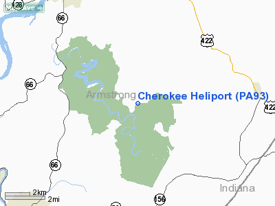
Location & QuickFacts
| FAA Information Effective: | 2008-09-25 |
| Airport Identifier: | PA93 |
| Airport Status: | Operational |
| Longitude/Latitude: | 079-27-24.0000W/40-41-06.0000N
-79.456667/40.685000 (Estimated) |
| Elevation: | 1175 ft / 358.14 m (Estimated) |
| Land: | 30 acres |
| From nearest city: | 7 nautical miles SE of Brick Church Village, PA |
| Location: | Armstrong County, PA |
| Magnetic Variation: | 09W (1990) |
Owner & Manager
| Ownership: | Privately owned |
| Owner: | Ken E. Walker |
| Address: | R.d. 2 Brick Church Road
Ford City, PA 16226 |
| Phone number: | 412-845-9132 |
| Manager: | Cherokee Walker |
| Address: | R.d. 2 Brick Church Road
Ford City, PA 16226 |
| Phone number: | 412-845-9132 |
Airport Operations and Facilities
| Airport Use: | Private |
| Wind indicator: | Yes |
| Segmented Circle: | No |
| Control Tower: | No |
| Lighting Schedule: | PHONE REQ
FOR FLOOD LGTS CALL 412-845-9132. |
| Sectional chart: | Detroit |
| Region: | AEA - Eastern |
| Boundary ARTCC: | ZOB - Cleveland |
| Tie-in FSS: | AOO - Altoona |
| FSS on Airport: | No |
| FSS Toll Free: | 1-800-WX-BRIEF |
Airport Communications
Runway Information
Helipad H1
| Dimension: | 60 x 60 ft / 18.3 x 18.3 m |
| Surface: | ASPH-CONC, |
| |
Runway H1 |
Runway |
| Traffic Pattern: | Left | Left |
|
Radio Navigation Aids
| ID |
Type |
Name |
Ch |
Freq |
Var |
Dist |
| INP | NDB | Indiana | | 242.00 | 08W | 18.1 nm |
| BHU | NDB | Benje | | 382.00 | 07W | 20.4 nm |
| MKP | NDB | Mc Keesport | | 287.00 | 07W | 24.8 nm |
| SYS | NDB | Stoystown | | 209.00 | 08W | 43.7 nm |
| PNU | NDB | Washington County | | 255.00 | 08W | 45.8 nm |
| UCP | NDB | Castle | | 272.00 | 09W | 48.1 nm |
| VV | NDB | Camor | | 299.00 | 08W | 50.0 nm |
| FKL | VOR | Franklin | | 109.60 | 06W | 48.8 nm |
| CIP | VOR/DME | Clarion | 076X | 112.90 | 06W | 27.7 nm |
| REC | VOR/DME | Revloc | 043X | 110.60 | 09W | 33.4 nm |
| AGC | VOR/DME | Allegheny | 037X | 110.00 | 09W | 36.2 nm |
| EWC | VORTAC | Ellwood City | 105X | 115.80 | 08W | 35.4 nm |
| MMJ | VORTAC | Montour | 057X | 112.00 | 08W | 35.7 nm |
| JST | VORTAC | Johnstown | 077X | 113.00 | 06W | 36.0 nm |
| IHD | VORTAC | Indian Head | 019X | 108.20 | 06W | 43.0 nm |
Remarks
- PRVDD THE LARGEST ACFT PERMITTED TO OPER HERE IS A ROTORCRAFT OF 12500 LBS MAX GWT. YOU USE PROCS TO MINIMIZE NOISE OVER HOMES & THE CHURCH IN CLOSE PROXIMITY TO THE HELIPORT.
Images and information placed above are from
http://www.airport-data.com/airport/PA93/
We thank them for the data!
| General Info
|
| Country |
United States
|
| State |
PENNSYLVANIA
|
| FAA ID |
PA93
|
| Latitude |
40-41-06.000N
|
| Longitude |
079-27-24.000W
|
| Elevation |
1175 feet
|
| Near City |
BRICK CHURCH VILLAGE
|
We don't guarantee the information is fresh and accurate. The data may
be wrong or outdated.
For more up-to-date information please refer to other sources.
|
|


