 |
|
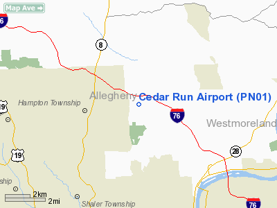
Location & QuickFacts
| FAA Information Effective: | 2008-09-25 |
| Airport Identifier: | PN01 |
| Airport Status: | Operational |
| Longitude/Latitude: | 079-54-21.1900W/40-35-17.2420N
-79.905886/40.588123 (Estimated) |
| Elevation: | 1180 ft / 359.66 m (Estimated) |
| Land: | 40 acres |
| From nearest city: | 1 nautical miles NW of Dorseyville, PA |
| Location: | Allegheny County, PA |
| Magnetic Variation: | 08W (1985) |
Owner & Manager
| Ownership: | Privately owned |
| Owner: | Clement C. Newcamp |
| Address: | Rd 3, Cedar Run Rd
Allison Park, PA 15101 |
| Phone number: | 412-767-4357 |
| Manager: | Clement C Newcamp |
| Address: | Rd 3, Cedar Run Rd
Allison Park, PA 15101 |
| Phone number: | 412-767-8833 |
Airport Operations and Facilities
| Airport Use: | Private |
| Wind indicator: | Yes |
| Segmented Circle: | No |
| Control Tower: | No |
| Landing fee charge: | No |
| Sectional chart: | Detroit |
| Region: | AEA - Eastern |
| Boundary ARTCC: | ZOB - Cleveland |
| Tie-in FSS: | AOO - Altoona |
| FSS on Airport: | No |
| FSS Toll Free: | 1-800-WX-BRIEF |
Airport Services
| Airframe Repair: | NONE |
| Power Plant Repair: | NONE |
Runway Information
Runway 18/36
| Dimension: | 1800 x 50 ft / 548.6 x 15.2 m |
| Surface: | TURF, Good Condition |
| |
Runway 18 |
Runway 36 |
| Traffic Pattern: | Left | Left |
| Obstruction: | | 40 ft trees, 50.0 ft from runway |
|
Radio Navigation Aids
| ID |
Type |
Name |
Ch |
Freq |
Var |
Dist |
| MKP | NDB | Mc Keesport | | 287.00 | 07W | 15.1 nm |
| PNU | NDB | Washington County | | 255.00 | 08W | 29.1 nm |
| BHU | NDB | Benje | | 382.00 | 07W | 31.7 nm |
| UCP | NDB | Castle | | 272.00 | 09W | 35.0 nm |
| INP | NDB | Indiana | | 242.00 | 08W | 38.4 nm |
| VV | NDB | Camor | | 299.00 | 08W | 43.0 nm |
| HBD | NDB | Hubbard | | 408.00 | 08W | 44.3 nm |
| AGC | VOR/DME | Allegheny | 037X | 110.00 | 09W | 19.6 nm |
| HLG | VOR/DME | Wheeling | 059X | 112.20 | 07W | 36.2 nm |
| CIP | VOR/DME | Clarion | 076X | 112.90 | 06W | 39.2 nm |
| MMJ | VORTAC | Montour | 057X | 112.00 | 08W | 14.5 nm |
| EWC | VORTAC | Ellwood City | 105X | 115.80 | 08W | 19.9 nm |
| IHD | VORTAC | Indian Head | 019X | 108.20 | 06W | 44.6 nm |
Images and information placed above are from
http://www.airport-data.com/airport/PN01/
We thank them for the data!
| General Info
|
| Country |
United States
|
| State |
PENNSYLVANIA
|
| FAA ID |
PN01
|
| Latitude |
40-35-17.242N
|
| Longitude |
079-54-21.190W
|
| Elevation |
1180 feet
|
| Near City |
DORSEYVILLE
|
We don't guarantee the information is fresh and accurate. The data may
be wrong or outdated.
For more up-to-date information please refer to other sources.
|
|


