|
|
 |
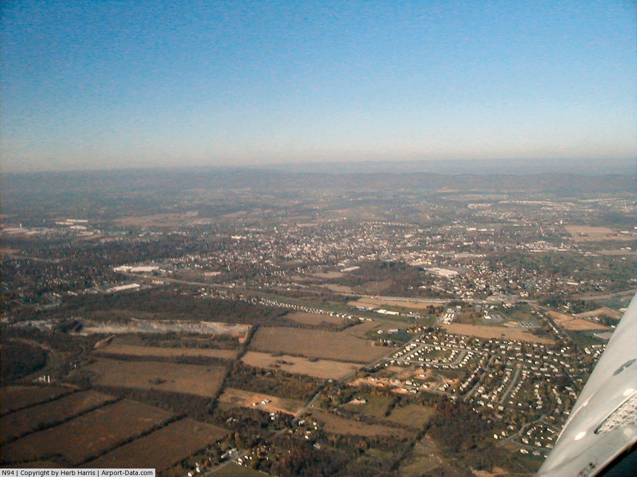
(Click on the photo to enlarge) |
 |
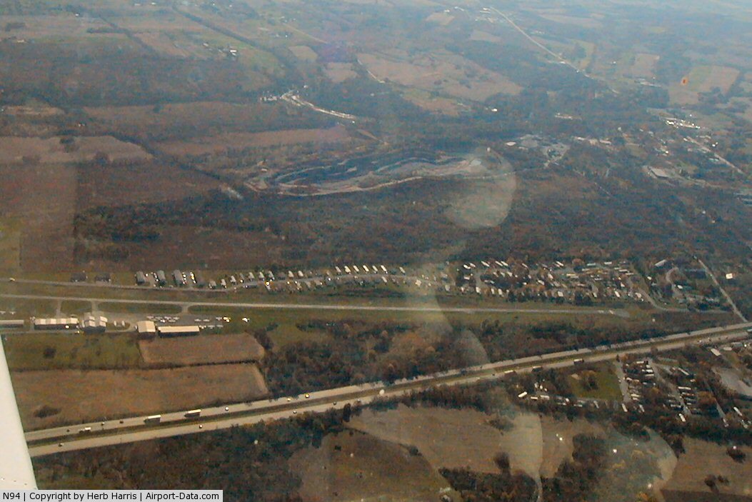
(Click on the photo to enlarge) |
Location & QuickFacts
| FAA Information Effective: | 2008-09-25 |
| Airport Identifier: | N94 |
| Airport Status: | Operational |
| Longitude/Latitude: | 077-10-27.3920W/40-11-16.4870N
-77.174276/40.187913 (Estimated) |
| Elevation: | 510 ft / 155.45 m (Surveyed) |
| Land: | 118 acres |
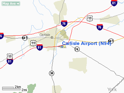
| From nearest city: | 2 nautical miles SE of Carlisle, PA |
| Location: | Cumberland County, PA |
| Magnetic Variation: | 10W (1985) |
Owner & Manager
| Ownership: | Privately owned |
| Owner: | Bus Arpt Of Carisle Inc |
| Address: | 228 Petersburg Rd
Carlisle, PA 17015 |
| Phone number: | 717-243-2133 |
| Manager: | Jim Kingsborough |
| Address: | 228 Petersburg Rd
Carlisle, PA 17015 |
| Phone number: | 717-245-2696 |
Airport Operations and Facilities
| Airport Use: | Open to public |
| Wind indicator: | Yes |
| Segmented Circle: | Yes |
| Control Tower: | No |
| Lighting Schedule: | DUSK-DAWN
ACTVT LIRL RY 10/28 & PVASI RYS 10 & 28 - CTAF. |
| Beacon Color: | Clear-Green (lighted land airport) |
| Landing fee charge: | No |
| Sectional chart: | Detroit |
| Region: | AEA - Eastern |
| Traffic Pattern Alt: | 1000 ft |
| Boundary ARTCC: | ZNY - New York |
| Tie-in FSS: | IPT - Williamsport |
| FSS on Airport: | No |
| FSS Toll Free: | 1-800-WX-BRIEF
|
| NOTAMs Facility: | IPT (NOTAM-d service avaliable) |
Airport Communications
| CTAF: | 122.800 |
| Unicom: | 122.800 |
Airport Services
| Fuel available: | 100LLA |
| Airframe Repair: | MINOR |
| Power Plant Repair: | MINOR |
| Bottled Oxygen: | NONE |
| Bulk Oxygen: | NONE |
Runway Information
Runway 10/28
| Dimension: | 4008 x 40 ft / 1221.6 x 12.2 m
RWY 10/28 RWY LIGHTED LENGTH AVAILABLE FOR NIGHT OPERATIONS 3802 FT. |
| Surface: | ASPH, Poor Condition
RY 10/28 SURFACE CRACKS. |
| Weight Limit: | Single wheel: 12500 lbs.
Dual wheel: 12500 lbs. |
| Edge Lights: | Non-standard lighting system
NSTD LIRL; FIRST 106 FT RY 10 UNLGTD; FIRST 100 FT RY 28 UNLGTD. |
| |
Runway 10 |
Runway 28 |
| Longitude: | 077-10-53.2030W | 077-10-01.5800W |
| Latitude: | 40-11-17.0770N | 40-11-15.8960N |
| Elevation: | 502.00 ft | 510.00 ft |
| Alignment: | 92 | 127 |
| Traffic Pattern: | Left | Left |
| Markings: | Nonstandard, Good Condition
RWY 10/28 MKGS FADED. | Nonstandard, Good Condition
RW 10/28 DISPLCD THLD MARKINGS MISSING ARROWS. |
| Displaced threshold: | 106.00 ft | 100.00 ft |
| VASI: | pulsating/steady burning on left side | pulsating/steady burning on left side |
| Visual Glide Angle: | 4.00° | 3.00° |
| Obstruction: | 24 ft tree, 494.0 ft from runway, 99 ft right of centerline, 12:1 slope to clear
RY 10 APCH RATIO 25:1 TO DSPLCD THLD.
RY 10 HAS BRUSH 52 FT EAST ACROSS APCH. | 12 ft sign, 226.0 ft from runway, 57 ft right of centerline, 2:1 slope to clear
RY 28 APCH SLOPE 27:1 TO DSPLCD THLD.
RW 28, +17 FT ROAD 185 FT FROM RW END, 30-125 FT R. |
|
Radio Navigation Aids
| ID |
Type |
Name |
Ch |
Freq |
Var |
Dist |
| EUD | NDB | York | | 254.00 | 11W | 21.1 nm |
| BZJ | NDB | Bellgrove | | 328.00 | 10W | 32.1 nm |
| RV | NDB | Stroh | | 407.00 | 10W | 35.7 nm |
| HGR | VOR | Hagerstown | | 109.80 | 07W | 43.1 nm |
| FDK | VOR | Frederick | | 109.00 | 08W | 47.5 nm |
| HAR | VORTAC | Harrisburg | 072X | 112.50 | 10W | 8.4 nm |
| RAV | VORTAC | Ravine | 093X | 114.60 | 11W | 34.3 nm |
| SEG | VORTAC | Selinsgrove | 041X | 110.40 | 08W | 38.6 nm |
| THS | VORTAC | St Thomas | 097X | 115.00 | 07W | 38.9 nm |
| LRP | VORTAC | Lancaster | 120X | 117.30 | 09W | 40.8 nm |
| EMI | VORTAC | Westminster | 126X | 117.90 | 08W | 42.6 nm |
| MDT | VOT | Harrisburg International | | 110.00 | | 18.9 nm |
Remarks
- DEER ON & INVOF ARPT.
- DURG NGT OPNS TRAILER PARK LGTS LCTD SOUTH OF RY COULD BE MISTAKEN FOR RY LGTS.
- BIRDS ON & INVOF APRT.
Images and information placed above are from
http://www.airport-data.com/airport/N94/
We thank them for the data!
| General Info
|
| Country |
United States
|
| State |
PENNSYLVANIA
|
| FAA ID |
N94
|
| Latitude |
40-11-16.487N
|
| Longitude |
077-10-27.392W
|
| Elevation |
510 feet
|
| Near City |
CARLISLE
|
We don't guarantee the information is fresh and accurate. The data may
be wrong or outdated.
For more up-to-date information please refer to other sources.
|
|