 |
|
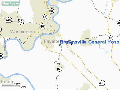
Brownsville General Hospital Heliport |
Location & QuickFacts
| FAA Information Effective: | 2008-09-25 |
| Airport Identifier: | PS24 |
| Airport Status: | Operational |
| Longitude/Latitude: | 079-52-32.1660W/40-00-13.2680N
-79.875602/40.003686 (Estimated) |
| Elevation: | 1199 ft / 365.46 m (Estimated) |
| Land: | 0 acres |
| From nearest city: | 1 nautical miles NW of Brownsville, PA |
| Location: | Fayette County, PA |
| Magnetic Variation: | 07W (1985) |
Owner & Manager
| Ownership: | Privately owned |
| Owner: | Brownsville General Hospital |
| Address: | 125 Simpson Road
Brownsville, PA 15414 |
| Phone number: | 412-785-7200 |
| Manager: | Don Wilson |
| Address: | 125 Simpson Road
Brownsville, PA 15414 |
| Phone number: | 412-785-7200 |
Airport Operations and Facilities
| Airport Use: | Private
MEDICAL USE. |
| Wind indicator: | Yes |
| Segmented Circle: | No |
| Control Tower: | No |
| Landing fee charge: | No |
| Sectional chart: | New York |
| Region: | AEA - Eastern |
| Boundary ARTCC: | ZOB - Cleveland |
| Tie-in FSS: | AOO - Altoona |
| FSS on Airport: | No |
| FSS Toll Free: | 1-800-WX-BRIEF |
Runway Information
Helipad H1
| Dimension: | 50 x 30 ft / 15.2 x 9.1 m |
| Surface: | ASPH, |
| |
Runway H1 |
Runway |
| Traffic Pattern: | Left | Left |
|
Radio Navigation Aids
| ID |
Type |
Name |
Ch |
Freq |
Var |
Dist |
| VV | NDB | Camor | | 299.00 | 08W | 9.4 nm |
| PNU | NDB | Washington County | | 255.00 | 08W | 15.7 nm |
| MKP | NDB | Mc Keesport | | 287.00 | 07W | 21.6 nm |
| BHU | NDB | Benje | | 382.00 | 07W | 35.6 nm |
| SYS | NDB | Stoystown | | 209.00 | 08W | 44.4 nm |
| AGC | VOR/DME | Allegheny | 037X | 110.00 | 09W | 18.2 nm |
| HLG | VOR/DME | Wheeling | 059X | 112.20 | 07W | 35.4 nm |
| AIR | VOR/DME | Bellaire | 118X | 117.10 | 07W | 43.4 nm |
| GRV | VOR/DME | Grantsville | 070X | 112.30 | 06W | 44.1 nm |
| CKB | VOR/DME | Clarksburg | 073X | 112.60 | 04W | 48.6 nm |
| IHD | VORTAC | Indian Head | 019X | 108.20 | 06W | 23.9 nm |
| MGW | VORTAC | Morgantown | 053X | 111.60 | 05W | 26.9 nm |
| MMJ | VORTAC | Montour | 057X | 112.00 | 08W | 32.6 nm |
Remarks
- PROVIDED UTILITY POLE LOCATED 250' WEST OF HELIPORT IS MARKED FOR DAY OPERATIONS & OBSTRUCTION LIGHTS FOR NIGHT OPERATIONS.
Images and information placed above are from
http://www.airport-data.com/airport/PS24/
We thank them for the data!
| General Info
|
| Country |
United States
|
| State |
PENNSYLVANIA
|
| FAA ID |
PS24
|
| Latitude |
40-00-13.268N
|
| Longitude |
079-52-32.166W
|
| Elevation |
1199 feet
|
| Near City |
BROWNSVILLE
|
We don't guarantee the information is fresh and accurate. The data may
be wrong or outdated.
For more up-to-date information please refer to other sources.
|
|


