 |
|
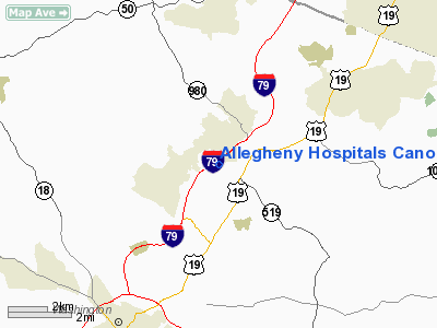
Allegheny Hospitals Canonsburg Heliport |
Location & QuickFacts
| FAA Information Effective: | 2008-09-25 |
| Airport Identifier: | PA67 |
| Airport Status: | Operational |
| Longitude/Latitude: | 080-11-29.0000W/40-14-50.0000N
-80.191389/40.247222 (Estimated) |
| Elevation: | 1169 ft / 356.31 m (Estimated) |
| Land: | 43 acres |
| From nearest city: | 1 nautical miles N of Canonsburg, PA |
| Location: | Washington County, PA |
| Magnetic Variation: | 08W (1995) |
Owner & Manager
| Ownership: | Privately owned |
| Owner: | Allegheny Hospitals Canonsburg |
| Address: | 100 Medical Blvd
Canonsburg, PA 15317 |
| Phone number: | 724-745-6100 |
| Manager: | Richard C Rose |
| Address: | 100 Medical Blvd, Canonsburg
Pa, PA 15317 |
Airport Operations and Facilities
| Airport Use: | Private
MEDICAL USE. |
| Wind indicator: | Yes |
| Segmented Circle: | No |
| Control Tower: | No |
| Lighting Schedule: | PHONE REQ
FOR PERIMETER LGTS CALL 724-745-6100. |
| Sectional chart: | Detroit |
| Region: | AEA - Eastern |
| Boundary ARTCC: | ZOB - Cleveland |
| Tie-in FSS: | AOO - Altoona |
| FSS Toll Free: | 1-800-WX-BRIEF |
Runway Information
Helipad H1
| Dimension: | 75 x 75 ft / 22.9 x 22.9 m |
| Surface: | CONC, |
| |
Runway H1 |
Runway |
| Traffic Pattern: | Left | Left |
|
Radio Navigation Aids
| ID |
Type |
Name |
Ch |
Freq |
Var |
Dist |
| PNU | NDB | Washington County | | 255.00 | 08W | 6.3 nm |
| MKP | NDB | Mc Keesport | | 287.00 | 07W | 19.9 nm |
| VV | NDB | Camor | | 299.00 | 08W | 30.0 nm |
| CFX | NDB | Cadiz | | 239.00 | 07W | 37.7 nm |
| BHU | NDB | Benje | | 382.00 | 07W | 42.9 nm |
| TSO | NDB | Tolson | | 395.00 | 07W | 44.8 nm |
| UCP | NDB | Castle | | 272.00 | 09W | 47.7 nm |
| AGC | VOR/DME | Allegheny | 037X | 110.00 | 09W | 7.2 nm |
| HLG | VOR/DME | Wheeling | 059X | 112.20 | 07W | 17.3 nm |
| AIR | VOR/DME | Bellaire | 118X | 117.10 | 07W | 31.9 nm |
| MMJ | VORTAC | Montour | 057X | 112.00 | 08W | 14.5 nm |
| EWC | VORTAC | Ellwood City | 105X | 115.80 | 08W | 34.8 nm |
| IHD | VORTAC | Indian Head | 019X | 108.20 | 06W | 41.7 nm |
| MGW | VORTAC | Morgantown | 053X | 111.60 | 05W | 44.2 nm |
Remarks
- PRVDD CLEAR 8:1 INGRESS/EGRESS, APPROPRIATE MKGS, LGTD WINDSOCK, VFR ONLY.
Images and information placed above are from
http://www.airport-data.com/airport/PA67/
We thank them for the data!
| General Info
|
| Country |
United States
|
| State |
PENNSYLVANIA
|
| FAA ID |
PA67
|
| Latitude |
40-14-50.000N
|
| Longitude |
080-11-29.000W
|
| Elevation |
1169 feet
|
| Near City |
CANONSBURG
|
We don't guarantee the information is fresh and accurate. The data may
be wrong or outdated.
For more up-to-date information please refer to other sources.
|
|


