 |
|
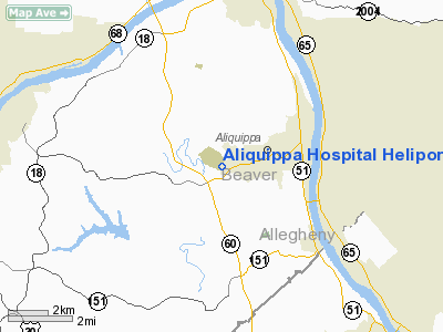
Aliquippa Hospital Heliport |
Location & QuickFacts
| FAA Information Effective: | 2008-09-25 |
| Airport Identifier: | 76PA |
| Airport Status: | Operational |
| Longitude/Latitude: | 080-17-25.2220W/40-36-29.2400N
-80.290339/40.608122 (Estimated) |
| Elevation: | 946 ft / 288.34 m (Estimated) |
| Land: | 0 acres |
| From nearest city: | 1 nautical miles W of Aliquippa, PA |
| Location: | Beaver County, PA |
| Magnetic Variation: | 09W (2000) |
Owner & Manager
| Ownership: | Privately owned |
| Owner: | Aliquippa Hospital |
| Address: | 2500 Hospital Dr
Aliquippa, PA 15001 |
| Phone number: | 412-857-1212 |
| Manager: | Charles Van Sluyter, Ced |
| Address: | 2500 Hospital Drive
Aliquippa, PA 15001 |
| Phone number: | 412-857-1212 |
Airport Operations and Facilities
| Airport Use: | Private
MEDICAL USE. |
| Wind indicator: | Yes |
| Segmented Circle: | Yes |
| Control Tower: | No |
| Lighting Schedule: | DUSK-DAWN |
| Landing fee charge: | No |
| Sectional chart: | Detroit |
| Region: | AEA - Eastern |
| Boundary ARTCC: | ZOB - Cleveland |
| Tie-in FSS: | AOO - Altoona |
| FSS on Airport: | No |
| FSS Toll Free: | 1-800-WX-BRIEF |
Airport Services
| Airframe Repair: | NONE |
| Power Plant Repair: | NONE |
Runway Information
Helipad H1
| Dimension: | 65 x 65 ft / 19.8 x 19.8 m |
| Surface: | CONC, |
| |
Runway H1 |
Runway |
| Traffic Pattern: | Left | Left |
|
Radio Navigation Aids
| ID |
Type |
Name |
Ch |
Freq |
Var |
Dist |
| UCP | NDB | Castle | | 272.00 | 09W | 25.6 nm |
| MKP | NDB | Mc Keesport | | 287.00 | 07W | 27.8 nm |
| PNU | NDB | Washington County | | 255.00 | 08W | 28.5 nm |
| HBD | NDB | Hubbard | | 408.00 | 08W | 34.5 nm |
| TSO | NDB | Tolson | | 395.00 | 07W | 36.0 nm |
| CFX | NDB | Cadiz | | 239.00 | 07W | 39.9 nm |
| BHU | NDB | Benje | | 382.00 | 07W | 48.6 nm |
| AGC | VOR/DME | Allegheny | 037X | 110.00 | 09W | 22.9 nm |
| HLG | VOR/DME | Wheeling | 059X | 112.20 | 07W | 24.5 nm |
| AIR | VOR/DME | Bellaire | 118X | 117.10 | 07W | 43.0 nm |
| CIP | VOR/DME | Clarion | 076X | 112.90 | 06W | 49.8 nm |
| MMJ | VORTAC | Montour | 057X | 112.00 | 08W | 8.5 nm |
| EWC | VORTAC | Ellwood City | 105X | 115.80 | 08W | 13.5 nm |
| YNG | VORTAC | Youngstown | 027X | 109.00 | 05W | 46.8 nm |
Remarks
Images and information placed above are from
http://www.airport-data.com/airport/76PA/
We thank them for the data!
| General Info
|
| Country |
United States
|
| State |
PENNSYLVANIA
|
| FAA ID |
76PA
|
| Latitude |
40-36-29.240N
|
| Longitude |
080-17-25.222W
|
| Elevation |
946 feet
|
| Near City |
ALIQUIPPA
|
We don't guarantee the information is fresh and accurate. The data may
be wrong or outdated.
For more up-to-date information please refer to other sources.
|
|


