 |
|
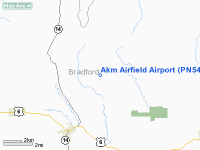
Location & QuickFacts
| FAA Information Effective: | 2008-09-25 |
| Airport Identifier: | PN54 |
| Airport Status: | Operational |
| Longitude/Latitude: | 076-44-45.0000W/41-50-30.0000N
-76.745833/41.841667 (Estimated) |
| Elevation: | 1393 ft / 424.59 m (Estimated) |
| Land: | 35 acres |
| From nearest city: | 4 nautical miles W of Columia Cross Roads, PA |
| Location: | Bradford County, PA |
| Magnetic Variation: | 12W (2000) |
Owner & Manager
| Ownership: | Privately owned |
| Owner: | Andrew Monro |
| Address: | Rd2 Box 265a
Columbia Cross Roads, PA 16914 |
| Phone number: | 570-297-2624 |
| Manager: | Andrew Monro |
| Address: | Rd2 Box 265a
Columbia Cross Roads, PA 16914 |
| Phone number: | 570-297-2624 |
Airport Operations and Facilities
| Airport Use: | Private |
| Wind indicator: | Yes |
| Segmented Circle: | No |
| Control Tower: | No |
| Sectional chart: | New York |
| Region: | AEA - Eastern |
| Boundary ARTCC: | ZNY - New York |
| Tie-in FSS: | IPT - Williamsport |
| FSS Toll Free: | 1-800-WX-BRIEF |
Runway Information
Runway 18/36
| Dimension: | 2100 x 100 ft / 640.1 x 30.5 m |
| Surface: | TURF, |
| |
Runway 18 |
Runway 36 |
| Traffic Pattern: | Left | Left |
|
Radio Navigation Aids
| ID |
Type |
Name |
Ch |
Freq |
Var |
Dist |
| ALP | NDB | Alpine | | 245.00 | 12W | 23.9 nm |
| PIX | NDB | Picture Rocks | | 344.00 | 09W | 34.0 nm |
| ULW | VOR/DME | Elmira | 033Y | 109.65 | 12W | 19.6 nm |
| FQM | VOR/DME | Williamsport | 091X | 114.40 | 09W | 30.3 nm |
| SFK | VOR/DME | Stonyfork | 023X | 108.60 | 08W | 31.5 nm |
| ITH | VOR/DME | Ithaca | 055X | 111.80 | 10W | 41.3 nm |
| CFB | VORTAC | Binghamton | 059X | 112.20 | 10W | 33.2 nm |
| MIP | VORTAC | Milton | 029X | 109.20 | 09W | 49.3 nm |
Remarks
- PRVDD VFR ONLY, CLEAR 20:1 APCH/DEP PATH, PLINES CROSSING RY BURIED,C LEAR PRIMARY SFC EA SIDE RY (125 FT EA SIDE), OPER TO MINIMIZE NOISE.
Images and information placed above are from
http://www.airport-data.com/airport/PN54/
We thank them for the data!
| General Info
|
| Country |
United States
|
| State |
PENNSYLVANIA
|
| FAA ID |
PN54
|
| Latitude |
41-50-30.000N
|
| Longitude |
076-44-45.000W
|
| Elevation |
1393 feet
|
| Near City |
COLUMIA CROSS ROADS
|
We don't guarantee the information is fresh and accurate. The data may
be wrong or outdated.
For more up-to-date information please refer to other sources.
|
|


