 |
|
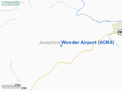
Location & QuickFacts
| FAA Information Effective: | 2008-09-25 |
| Airport Identifier: | 6OR6 |
| Airport Status: | Operational |
| Longitude/Latitude: | 123-32-04.2350W/42-23-29.4120N
-123.534510/42.391503 (Estimated) |
| Elevation: | 1250 ft / 381.00 m (Estimated) |
| Land: | 4 acres |
| From nearest city: | 1 nautical miles N of Wonder, OR |
| Location: | Josephine County, OR |
| Magnetic Variation: | 18E (1985) |
Owner & Manager
| Ownership: | Privately owned |
| Owner: | David A. Bassett, P.e. |
| Address: | 500 Wonder Lane
Wilderville, OR 97543 |
| Phone number: | 503-476-2021 |
| Manager: | David A. Bassett, P.e. |
| Address: | 500 Wonder Lane
Wilderville, OR 97543 |
| Phone number: | 503-476-2021 |
Airport Operations and Facilities
| Airport Use: | Private |
| Wind indicator: | Yes |
| Segmented Circle: | No |
| Control Tower: | No |
| Landing fee charge: | No |
| Sectional chart: | Klamath Falls |
| Region: | ANM - Northwest Mountain |
| Boundary ARTCC: | ZSE - Seattle |
| Tie-in FSS: | MMV - Mc Minnville |
| FSS on Airport: | No |
| FSS Toll Free: | 1-800-WX-BRIEF |
Airport Services
| Airframe Repair: | NONE |
| Power Plant Repair: | NONE |
Runway Information
Runway 15/33
| Dimension: | 1100 x 50 ft / 335.3 x 15.2 m |
| Surface: | TURF-DIRT, |
| |
Runway 15 |
Runway 33 |
| Traffic Pattern: | Left | Left |
| Obstruction: | 600 ft hill, 1000.0 ft from runway | 1000 ft hill, 4000.0 ft from runway |
|
Radio Navigation Aids
| ID |
Type |
Name |
Ch |
Freq |
Var |
Dist |
| MEF | NDB | Medford | | 356.00 | 19E | 29.1 nm |
| RBG | VOR/DME | Roseburg | 019X | 108.20 | 20E | 48.2 nm |
| OED | VORTAC | Rogue Valley | 083X | 113.60 | 19E | 28.1 nm |
| CEC | VORTAC | Crescent City | 027X | 109.00 | 19E | 48.4 nm |
| MFR | VOT | Medford-jackson County | | 117.20 | | 29.7 nm |
Remarks
- 9% GRADE SLOPING TO 18% GRADE TO NORTH.
Images and information placed above are from
http://www.airport-data.com/airport/6OR6/
We thank them for the data!
| General Info
|
| Country |
United States
|
| State |
OREGON
|
| FAA ID |
6OR6
|
| Latitude |
42-23-29.412N
|
| Longitude |
123-32-04.235W
|
| Elevation |
1250 feet
|
| Near City |
WONDER
|
We don't guarantee the information is fresh and accurate. The data may
be wrong or outdated.
For more up-to-date information please refer to other sources.
|
|


