 |
|
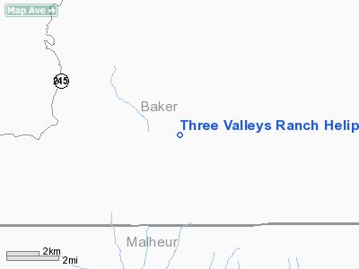
Three Valleys Ranch Heliport |
Location & QuickFacts
| FAA Information Effective: | 2008-09-25 |
| Airport Identifier: | OG47 |
| Airport Status: | Operational |
| Longitude/Latitude: | 117-44-51.0000W/44-29-40.0000N
-117.747500/44.494444 (Estimated) |
| Elevation: | 3455 ft / 1053.08 m (Estimated) |
| Land: | 12000 acres |
| From nearest city: | 0 nautical miles of Baker City, OR |
| Location: | Baker County, OR |
| Magnetic Variation: | () |
Owner & Manager
| Ownership: | Privately owned |
| Owner: | Three Valleys Ranch Llc |
| Address: | Po Box 5075, Bridgeport La
Bridgeport, OR 97819 |
| Phone number: | 541-446-3436 |
| Manager: | Steve Jay |
| Address: | Po Box 5075
Bridgeport, OR 97819 |
| Phone number: | 541-446-3436 |
Airport Operations and Facilities
| Airport Use: | Private |
| Wind indicator: | Yes |
| Control Tower: | No |
| Sectional chart: | Seattle |
| Region: | ANM - Northwest Mountain |
| Boundary ARTCC: | ZLC - Salt Lake City |
| Tie-in FSS: | MMV - Mc Minnville |
| FSS Toll Free: | 1-800-WX-BRIEF |
Runway Information
Helipad H1
| Dimension: | 87 x 54 ft / 26.5 x 16.5 m |
| Surface: | CONC, |
| |
Runway H1 |
Runway |
| Traffic Pattern: | Left | Left |
|
Radio Navigation Aids
| ID |
Type |
Name |
Ch |
Freq |
Var |
Dist |
| ONO | NDB | Ontario | | 305.00 | 17E | 42.7 nm |
| BKE | VOR/DME | Baker City | 100X | 115.30 | 20E | 21.0 nm |
Images and information placed above are from
http://www.airport-data.com/airport/OG47/
We thank them for the data!
|
|


