 |
|
Location & QuickFacts
| FAA Information Effective: | 2008-09-25 |
| Airport Identifier: | 08OR |
| Airport Status: | Operational |
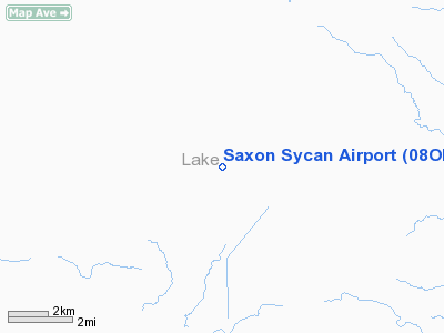
| Longitude/Latitude: | 121-07-01.9830W/42-50-21.5220N
-121.117217/42.839312 (Estimated) |
| Elevation: | 4990 ft / 1520.95 m (Estimated) |
| Land: | 0 acres |
| From nearest city: | 21 nautical miles S of Silver Lake, OR |
| Location: | Lake County, OR |
| Magnetic Variation: | 17E (1990) |
Owner & Manager
| Ownership: | Privately owned |
| Owner: | Cecil Saxon |
| Address: | 4740 Main Street Suite A
Springfield, OR 97478 |
| Phone number: | 503-746-0047 |
| Manager: | Cecil Saxon |
| Address: | 4740 Main Street Suite A
Springfield, OR 97478 |
| Phone number: | 503-746-0047 |
Airport Operations and Facilities
| Airport Use: | Private |
| Wind indicator: | Yes |
| Segmented Circle: | No |
| Control Tower: | No |
| Sectional chart: | Klamath Falls |
| Region: | ANM - Northwest Mountain |
| Boundary ARTCC: | ZSE - Seattle |
| Tie-in FSS: | MMV - Mc Minnville |
| FSS on Airport: | No |
| FSS Toll Free: | 1-800-WX-BRIEF |
Runway Information
Runway 18/36
| Dimension: | 2800 x 20 ft / 853.4 x 6.1 m |
| Surface: | GRVL, |
| |
Runway 18 |
Runway 36 |
| Traffic Pattern: | Left | Left |
|
Radio Navigation Aids
| ID |
Type |
Name |
Ch |
Freq |
Var |
Dist |
| LKV | VORTAC | Lakeview | 57X | 112.00 | 19E | 34.1 nm |
| LMT | VORTAC | Klamath Falls | 106X | 115.90 | 17E | 49.3 nm |
Images and information placed above are from
http://www.airport-data.com/airport/08OR/
We thank them for the data!
| General Info
|
| Country |
United States
|
| State |
OREGON
|
| FAA ID |
08OR
|
| Latitude |
42-50-21.522N
|
| Longitude |
121-07-01.983W
|
| Elevation |
4990 feet
|
| Near City |
SILVER LAKE
|
We don't guarantee the information is fresh and accurate. The data may
be wrong or outdated.
For more up-to-date information please refer to other sources.
|
|


