 |
|
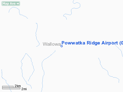
Location & QuickFacts
| FAA Information Effective: | 2008-09-25 |
| Airport Identifier: | 03OR |
| Airport Status: | Operational |
| Longitude/Latitude: | 117-29-03.6390W/45-51-19.5190N
-117.484344/45.855422 (Estimated) |
| Elevation: | 3340 ft / 1018.03 m (Estimated) |
| Land: | 0 acres |
| From nearest city: | 5 nautical miles S of Troy, OR |
| Location: | Wallowa County, OR |
| Magnetic Variation: | 18E (1985) |
Owner & Manager
| Ownership: | Privately owned |
| Owner: | Mark S. Hemstreet |
| Address: | 11600 Sw Barnes Road
Portland, OR 97225 |
| Phone number: | 503-641-6565 |
| Address: |
|
Airport Operations and Facilities
| Airport Use: | Private |
| Wind indicator: | Yes |
| Segmented Circle: | No |
| Control Tower: | No |
| Landing fee charge: | No |
| Sectional chart: | Seattle |
| Region: | ANM - Northwest Mountain |
| Boundary ARTCC: | ZSE - Seattle |
| Tie-in FSS: | MMV - Mc Minnville |
| FSS on Airport: | No |
| FSS Toll Free: | 1-800-WX-BRIEF |
Runway Information
Runway 07/25
| Dimension: | 2950 x 60 ft / 899.2 x 18.3 m |
| Surface: | CONC, |
| |
Runway 07 |
Runway 25 |
| Traffic Pattern: | Left | Left |
|
Radio Navigation Aids
| ID |
Type |
Name |
Ch |
Freq |
Var |
Dist |
| LGD | NDB | La Grande | | 296.00 | 17E | 36.8 nm |
| ALW | VOR/DME | Walla Walla | 111X | 116.40 | 20E | 36.5 nm |
| MQG | VOR/DME | Nez Perce | 019X | 108.20 | 20E | 40.7 nm |
Remarks
- OWNER DESIRES ARPT NOT BE CHARTED.
Images and information placed above are from
http://www.airport-data.com/airport/03OR/
We thank them for the data!
| General Info
|
| Country |
United States
|
| State |
OREGON
|
| FAA ID |
03OR
|
| Latitude |
45-51-19.519N
|
| Longitude |
117-29-03.639W
|
| Elevation |
3340 feet
|
| Near City |
TROY
|
We don't guarantee the information is fresh and accurate. The data may
be wrong or outdated.
For more up-to-date information please refer to other sources.
|
|


