 |
|
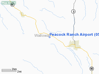
Location & QuickFacts
| FAA Information Effective: | 2008-09-25 |
| Airport Identifier: | 05OR |
| Airport Status: | Operational |
| Longitude/Latitude: | 117-21-03.6350W/45-26-29.5360N
-117.351010/45.441538 (Estimated) |
| Elevation: | 3500 ft / 1066.80 m (Estimated) |
| Land: | 0 acres |
| From nearest city: | 3 nautical miles W of Enterprise, OR |
| Location: | Wallowa County, OR |
| Magnetic Variation: | 18E (1985) |
Owner & Manager
| Ownership: | Privately owned |
| Owner: | John & Yvonne Zavoshy |
| Address: | 14081 Pike Rd
Saratoga, CA 95070 |
| Phone number: | 408-741-1693 |
| Manager: | John Zavoshy |
| Address: | 14081 Pike Road
Saratoga, CA 95070 |
| Phone number: | 408-741-1693 |
Airport Operations and Facilities
| Airport Use: | Private |
| Wind indicator: | Yes |
| Segmented Circle: | No |
| Control Tower: | No |
| Landing fee charge: | No |
| Sectional chart: | Great Falls |
| Region: | ANM - Northwest Mountain |
| Boundary ARTCC: | ZSE - Seattle |
| Tie-in FSS: | MMV - Mc Minnville |
| FSS on Airport: | No |
| FSS Toll Free: | 1-800-WX-BRIEF |
Runway Information
Runway 11/29
| Dimension: | 2600 x 50 ft / 792.5 x 15.2 m |
| Surface: | TURF, |
| |
Runway 11 |
Runway 29 |
| Traffic Pattern: | Left | Left |
|
Helipad H1
| Dimension: | 75 x 75 ft / 22.9 x 22.9 m |
| Surface: | TURF, |
| |
Runway H1 |
Runway |
| Traffic Pattern: | Left | Left |
|
Radio Navigation Aids
| ID |
Type |
Name |
Ch |
Freq |
Var |
Dist |
| LGD | NDB | La Grande | | 296.00 | 17E | 26.5 nm |
| BKE | VOR/DME | Baker City | 100X | 115.30 | 20E | 41.0 nm |
Images and information placed above are from
http://www.airport-data.com/airport/05OR/
We thank them for the data!
| General Info
|
| Country |
United States
|
| State |
OREGON
|
| FAA ID |
05OR
|
| Latitude |
45-26-29.536N
|
| Longitude |
117-21-03.635W
|
| Elevation |
3500 feet
|
| Near City |
ENTERPRISE
|
We don't guarantee the information is fresh and accurate. The data may
be wrong or outdated.
For more up-to-date information please refer to other sources.
|
|


