 |
|
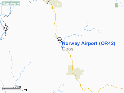
Location & QuickFacts
| FAA Information Effective: | 2008-09-25 |
| Airport Identifier: | OR42 |
| Airport Status: | Operational |
| Longitude/Latitude: | 124-09-39.3760W/43-06-09.3950N
-124.160938/43.102610 (Estimated) |
| Elevation: | 23 ft / 7.01 m (Estimated) |
| Land: | 0 acres |
| From nearest city: | 0 nautical miles W of Norway, OR |
| Location: | Coos County, OR |
| Magnetic Variation: | 18E (1985) |
Owner & Manager
| Ownership: | Privately owned |
| Owner: | E Allen |
| Address: |
|
| Manager: | E Allen |
| Address: |
Norway, OR 97460 |
| Phone number: | 503-572-2735 |
Airport Operations and Facilities
| Airport Use: | Private |
| Wind indicator: | Yes |
| Segmented Circle: | No |
| Control Tower: | No |
| Landing fee charge: | No |
| Sectional chart: | Klamath Falls |
| Region: | ANM - Northwest Mountain |
| Boundary ARTCC: | ZSE - Seattle |
| Tie-in FSS: | MMV - Mc Minnville |
| FSS on Airport: | No |
| FSS Toll Free: | 1-800-WX-BRIEF |
Airport Services
| Airframe Repair: | NONE |
| Power Plant Repair: | NONE |
| Bottled Oxygen: | NONE |
| Bulk Oxygen: | NONE |
Runway Information
Runway 12/30
| Dimension: | 2200 x 30 ft / 670.6 x 9.1 m
1600' OF RWY IS GRVL; 600' OF RWY IS TALL GRASS. |
| Surface: | TURF-GRVL, |
| |
Runway 12 |
Runway 30 |
| Traffic Pattern: | Left | Left |
| Markings: | None, | None, |
| Runway End Identifier: | No | No |
| Centerline Lights: | No | No |
| Touchdown Lights: | No | No |
|
Radio Navigation Aids
| ID |
Type |
Name |
Ch |
Freq |
Var |
Dist |
| RBG | NDB | Roseburg | | 400.00 | 20E | 36.1 nm |
| RBG | VOR/DME | Roseburg | 019X | 108.20 | 20E | 35.8 nm |
| OTH | VORTAC | North Bend | 058X | 112.10 | 18E | 18.8 nm |
Remarks
- (E137-1) OWNER DESIRES ARPT NOT BE CHARTED.
- (E137-2) CAUTION; IRRIGATION PIPE MAY BE ACROSS RWY AT ANY TIME.
Images and information placed above are from
http://www.airport-data.com/airport/OR42/
We thank them for the data!
| General Info
|
| Country |
United States
|
| State |
OREGON
|
| FAA ID |
OR42
|
| Latitude |
43-06-09.395N
|
| Longitude |
124-09-39.376W
|
| Elevation |
23 feet
|
| Near City |
NORWAY
|
We don't guarantee the information is fresh and accurate. The data may
be wrong or outdated.
For more up-to-date information please refer to other sources.
|
|


