 |
|
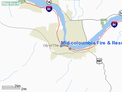
Mid-coloumbia Fire & Rescue Heliport |
Location & QuickFacts
| FAA Information Effective: | 2008-09-25 |
| Airport Identifier: | OG43 |
| Airport Status: | Operational |
| Longitude/Latitude: | 121-12-15.2500W/45-36-22.4300N
-121.204236/45.606231 (Estimated) |
| Elevation: | 160 ft / 48.77 m (Estimated) |
| Land: | 1 acres |
| From nearest city: | 1 nautical miles W of The Dalles, OR |
| Location: | Wasco County, OR |
| Magnetic Variation: | () |
Owner & Manager
| Ownership: | Privately owned |
| Owner: | Mid-columbia Fire & Rescue |
| Address: | 1400 W. 8th St.
The Dalles, OR 97058 |
| Manager: | Mid-columbia Fire & Rescue |
| Address: | 1400 W. 8th St.
The Dalles, OR 97058 |
Airport Operations and Facilities
| Airport Use: | Private |
| Segmented Circle: | No |
| Control Tower: | No |
| Lighting Schedule: | PHONE REQ
FOR PERIMETER LGTS CALL 541-296-9445. |
| Region: | ANM - Northwest Mountain |
| Boundary ARTCC: | ZSE - Seattle |
| Tie-in FSS: | MMV - Mc Minnville |
| FSS Toll Free: | 1-800-WX-BRIEF |
Airport Communications
Runway Information
Helipad H1
| Dimension: | 50 x 50 ft / 15.2 x 15.2 m |
| Surface: | CONC, |
| |
Runway H1 |
Runway |
| Traffic Pattern: | Left | Left |
|
Radio Navigation Aids
| ID |
Type |
Name |
Ch |
Freq |
Var |
Dist |
| LTJ | VOR/DME | Klickitat | 070X | 112.30 | 21E | 7.8 nm |
Images and information placed above are from
http://www.airport-data.com/airport/OG43/
We thank them for the data!
|
|


