 |
|
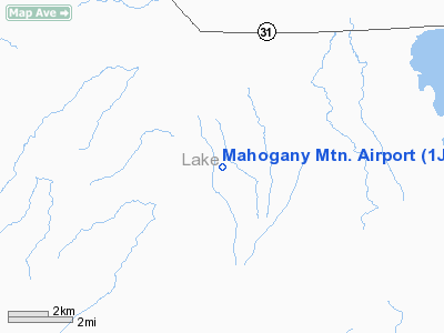
Location & QuickFacts
| FAA Information Effective: | 2008-09-25 |
| Airport Identifier: | 1JY2 |
| Airport Status: | Operational |
| Longitude/Latitude: | 121-03-10.9800W/43-04-01.5000N
-121.053050/43.067083 (Estimated) |
| Elevation: | 4620 ft / 1408.18 m () |
| Land: | 80 acres |
| From nearest city: | 4 nautical miles S of Silver Lake, OR |
| Location: | Lake County, OR |
| Magnetic Variation: | 17E (2000) |
Owner & Manager
| Ownership: | Privately owned |
| Owner: | Mark O. Hammond |
| Address: | 50961 East Bay Rd.
Silver Lake, OR 97638 |
| Phone number: | 541-815-3636 |
| Manager: | Mark O. Hammond |
| Address: | 50961 East Bay Rd.
Silver Lake, OR 97638 |
| Phone number: | 541-815-3636 |
Airport Operations and Facilities
| Airport Use: | Private |
| Wind indicator: | Yes |
| Segmented Circle: | No |
| Control Tower: | No |
| Sectional chart: | Klamath Falls |
| Region: | ANM - Northwest Mountain |
| Boundary ARTCC: | ZLC - Salt Lake City |
| Tie-in FSS: | MMV - Mc Minnville |
| FSS Toll Free: | 1-800-WX-BRIEF |
Runway Information
Runway 16/34
| Dimension: | 2600 x 100 ft / 792.5 x 30.5 m |
| Surface: | DIRT, |
| |
Runway 16 |
Runway 34 |
| Traffic Pattern: | Left | Left |
| Obstruction: | 25 ft tree, 250.0 ft from runway | 15 ft , 225.0 ft from runway |
|
Radio Navigation Aids
| ID |
Type |
Name |
Ch |
Freq |
Var |
Dist |
| LKV | VORTAC | Lakeview | 57X | 112.00 | 19E | 42.1 nm |
Images and information placed above are from
http://www.airport-data.com/airport/1JY2/
We thank them for the data!
| General Info
|
| Country |
United States
|
| State |
OREGON
|
| FAA ID |
1JY2
|
| Latitude |
43-04-01.500N
|
| Longitude |
121-03-10.980W
|
| Elevation |
4620 feet
|
| Near City |
SILVER LAKE
|
We don't guarantee the information is fresh and accurate. The data may
be wrong or outdated.
For more up-to-date information please refer to other sources.
|
|


