 |
|
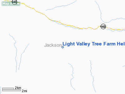
Light Valley Tree Farm Heliport |
Location & QuickFacts
| FAA Information Effective: | 2008-09-25 |
| Airport Identifier: | 8OR8 |
| Airport Status: | Operational |
| Longitude/Latitude: | 122-30-40.1020W/42-21-33.4770N
-122.511139/42.359299 (Estimated) |
| Elevation: | 2380 ft / 725.42 m (Estimated) |
| Land: | 0 acres |
| From nearest city: | 18 nautical miles NW of Eagle Point, OR |
| Location: | Jackson County, OR |
| Magnetic Variation: | 17E (1995) |
Owner & Manager
| Ownership: | Privately owned |
| Owner: | Dr Ralph E Wehinger |
| Address: | 10440 S Fork Little Butte Cr
Eagle Point, OR 97524 |
| Phone number: | 503-826-6173 |
| Manager: | Dr Ralph E Wehinger |
| Address: | 10440 S Fork Little Butte Cr
Eagle Point, OR 97524 |
| Phone number: | 503-826-6173 |
Airport Operations and Facilities
| Airport Use: | Private
MEDICAL USE ONLY. |
| Wind indicator: | Yes |
| Segmented Circle: | No |
| Control Tower: | No |
| Lighting Schedule: | PHONE REQ
FOR PERIMETER LIGHTS PHONE 503-826-6173. |
| Sectional chart: | Klamath Falls |
| Region: | ANM - Northwest Mountain |
| Boundary ARTCC: | ZSE - Seattle |
| Tie-in FSS: | MMV - Mc Minnville |
| FSS on Airport: | No |
| FSS Toll Free: | 1-800-WX-BRIEF |
Runway Information
Helipad H1
| Dimension: | 60 x 60 ft / 18.3 x 18.3 m |
| Surface: | GRAVEL, |
| |
Runway H1 |
Runway |
| Traffic Pattern: | Left | Left |
|
Radio Navigation Aids
| ID |
Type |
Name |
Ch |
Freq |
Var |
Dist |
| MEF | NDB | Medford | | 356.00 | 19E | 16.4 nm |
| MOG | NDB | Montague | | 404.00 | 19E | 38.0 nm |
| LFA | NDB | Merrill | | 347.00 | 17E | 44.7 nm |
| OED | VORTAC | Rogue Valley | 083X | 113.60 | 19E | 19.2 nm |
| LMT | VORTAC | Klamath Falls | 106X | 115.90 | 17E | 37.0 nm |
| MFR | VOT | Medford-jackson County | | 117.20 | | 15.8 nm |
Images and information placed above are from
http://www.airport-data.com/airport/8OR8/
We thank them for the data!
| General Info
|
| Country |
United States
|
| State |
OREGON
|
| FAA ID |
8OR8
|
| Latitude |
42-21-33.477N
|
| Longitude |
122-30-40.102W
|
| Elevation |
2380 feet
|
| Near City |
EAGLE POINT
|
We don't guarantee the information is fresh and accurate. The data may
be wrong or outdated.
For more up-to-date information please refer to other sources.
|
|


