|
|
| Lexington Airport |
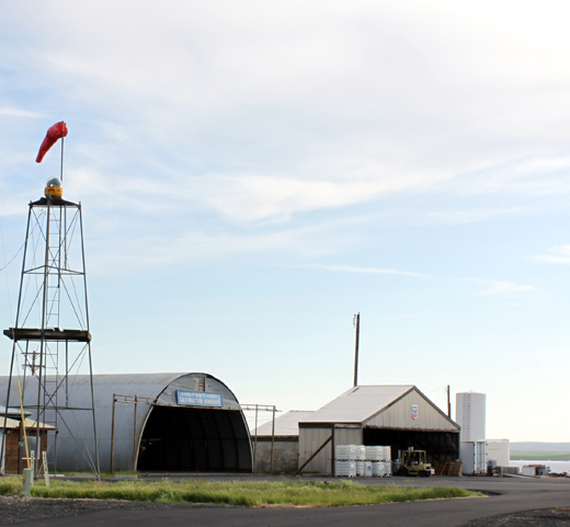 |
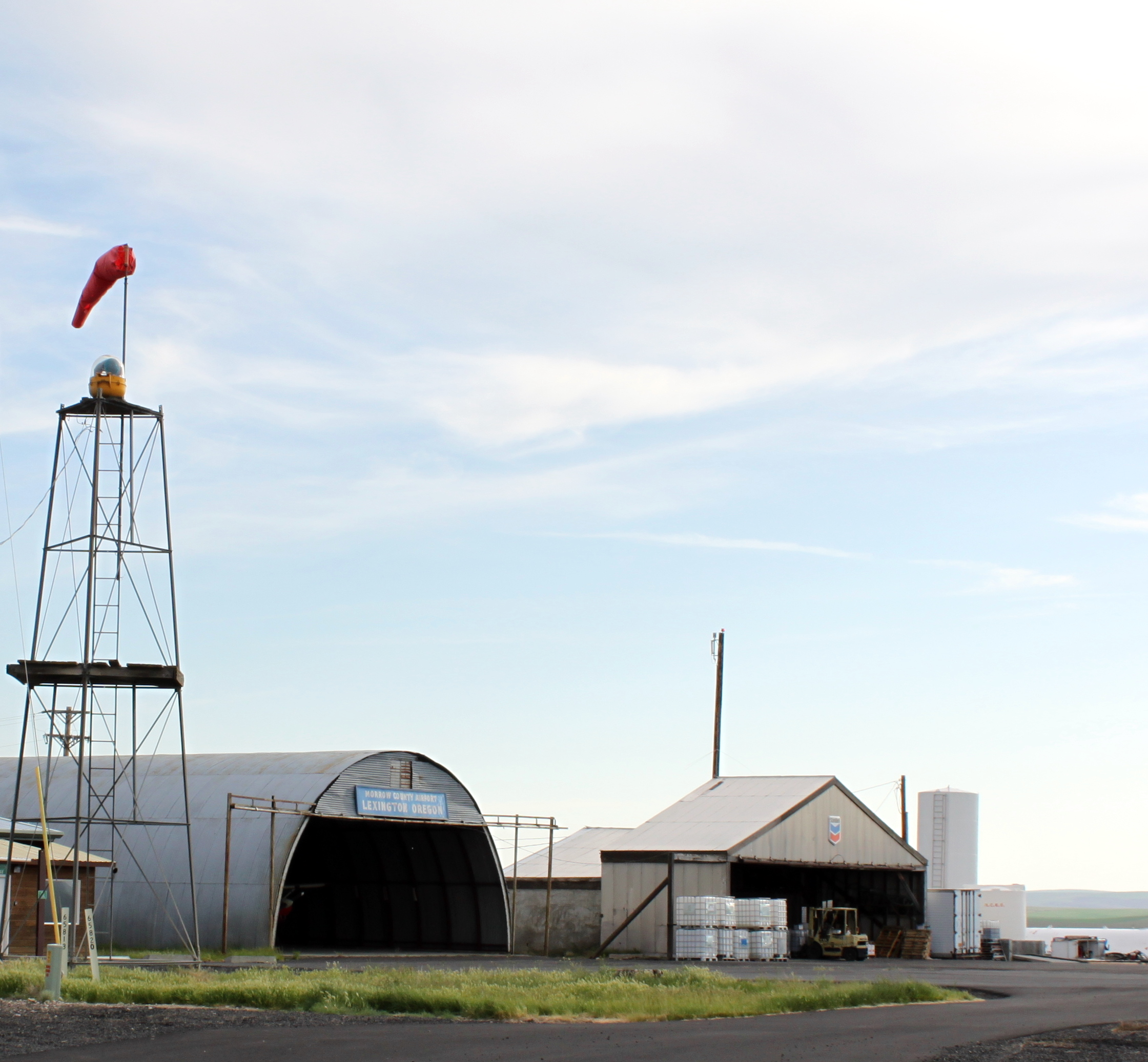
| Hangars and windsock at Lexington Airport |
| IATA: none – ICAO: none – FAA LID: 9S9 |
| Summary |
| Airport type |
Public |
| Operator |
Morrow County |
| Location |
Lexington, Oregon |
| Elevation AMSL |
1634 ft / 498 m |
| Coordinates |
45°27′14.9210″N 119°41′24.9620″W / 45.45414472°N 119.69026722°W / 45.45414472; -119.69026722Coordinates: 45°27′14.9210″N 119°41′24.9620″W / 45.45414472°N 119.69026722°W / 45.45414472; -119.69026722 |
| Runways |
| Direction |
Length |
Surface |
| ft |
m |
| 8/26 |
4155 |
1266 |
Asphalt |
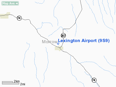
Lexington Airport (FAA LID: 9S9), is a public airport located one mile (1.6 km) north of Lexington in Morrow County, Oregon, USA.
The above content comes from Wikipedia and is published under free licenses – click here to read more.
Location & QuickFacts
| FAA Information Effective: | 2008-09-25 |
| Airport Identifier: | 9S9 |
| Airport Status: | Operational |
| Longitude/Latitude: | 119-41-24.9620W/45-27-14.9210N
-119.690267/45.454145 (Estimated) |
| Elevation: | 1634 ft / 498.04 m (Estimated) |
| Land: | 80 acres |
| From nearest city: | 1 nautical miles N of Lexington, OR |
| Location: | Morrow County, OR |
| Magnetic Variation: | 17E (2005) |
Owner & Manager
| Ownership: | Publicly owned |
| Owner: | Morrow County |
| Address: | County Courthouse
Heppner, OR 97836 |
| Phone number: | 541-989-9500 |
| Manager: | Burke O'brien |
| Address: | Box 428
Lexington, OR 97839 |
| Phone number: | 541-989-9500 |
Airport Operations and Facilities
| Airport Use: | Open to public |
| Wind indicator: | Yes |
| Segmented Circle: | Yes |
| Control Tower: | No |
| Lighting Schedule: | DUSK-DAWN
ACTVT MIRL RY 08/26 - CTAF. |
| Beacon Color: | Clear-Green (lighted land airport) |
| Landing fee charge: | No |
| Sectional chart: | Seattle |
| Region: | ANM - Northwest Mountain |
| Traffic Pattern Alt: | 1000 ft |
| Boundary ARTCC: | ZSE - Seattle |
| Tie-in FSS: | MMV - Mc Minnville |
| FSS on Airport: | No |
| FSS Toll Free: | 1-800-WX-BRIEF |
| NOTAMs Facility: | MMV (NOTAM-d service avaliable) |
| Federal Agreements: | NGY |
Airport Communications
Airport Services
| Fuel available: | 100LL |
| Bottled Oxygen: | NONE |
| Bulk Oxygen: | NONE |
Runway Information
Runway 08/26
| Dimension: | 4155 x 75 ft / 1266.4 x 22.9 m
RWY 08/26 200 FT GRVL E END. |
| Surface: | ASPH, Fair Condition |
| Weight Limit: | Single wheel: 12500 lbs. |
| Edge Lights: | Medium |
| |
Runway 08 |
Runway 26 |
| Longitude: | 119-41-53.7590W | 119-40-56.1660W |
| Latitude: | 45-27-18.0790N | 45-27-11.7630N |
| Elevation: | 1577.00 ft | 1630.00 ft |
| Alignment: | 99 | 127 |
| Traffic Pattern: | Left | Left |
| Markings: | Basic, Good Condition | Basic, Good Condition |
| Crossing Height: | 44.00 ft | 59.00 ft |
| VASI: | 2-box on left side | 2-box on left side |
| Visual Glide Angle: | 3.00° | 3.50° |
| Obstruction: | 8 ft fence, 415.0 ft from runway, 26:1 slope to clear
50:1 APCH BYD FENCE. | , 50:1 slope to clear |
|
Radio Navigation Aids
| ID |
Type |
Name |
Ch |
Freq |
Var |
Dist |
| PD | NDB | Foris | | 230.00 | 20E | 42.9 nm |
| PDT | VORTAC | Pendleton | 094X | 114.70 | 20E | 34.9 nm |
| IMB | VORTAC | Kimberly | 103X | 115.60 | 20E | 48.4 nm |
Remarks
- SEASONAL HVY AG OPNS.
- PARALLEL TWY ROUGH WITH LOOSE ROCKS.
- ARPT ESTABD PRIOR TO 1959.
Images and information placed above are from
http://www.airport-data.com/airport/9S9/
We thank them for the data!
| General Info
|
| Country |
United States
|
| State |
OREGON
|
| FAA ID |
9S9
|
| Latitude |
45-27-14.921N
|
| Longitude |
119-41-24.962W
|
| Elevation |
1634 feet
|
| Near City |
LEXINGTON
|
We don't guarantee the information is fresh and accurate. The data may
be wrong or outdated.
For more up-to-date information please refer to other sources.
|
|