 |
|
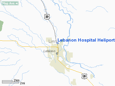
Lebanon Hospital Heliport |
Location & QuickFacts
| FAA Information Effective: | 2008-09-25 |
| Airport Identifier: | 8OR1 |
| Airport Status: | Operational |
| Longitude/Latitude: | 122-54-26.3220W/44-33-05.4420N
-122.907312/44.551512 (Estimated) |
| Elevation: | 340 ft / 103.63 m (Estimated) |
| Land: | 0 acres |
| From nearest city: | 1 nautical miles SW of Lebanon, OR |
| Location: | Linn County, OR |
| Magnetic Variation: | 19E (1985) |
Owner & Manager
| Ownership: | Privately owned |
| Owner: | Lebanon Community Hospital |
| Address: | 525 N Santiam Highway
Lebanon, OR 97355 |
| Phone number: | 503-258-2101 |
| Manager: | Alan R. Yordy |
| Address: | 30781 Carnelian Court
Lebanon, OR 97355 |
| Phone number: | 503-258-2101 |
Airport Operations and Facilities
| Airport Use: | Private
MEDICAL USE. |
| Wind indicator: | Yes |
| Segmented Circle: | No |
| Control Tower: | No |
| Landing fee charge: | No |
| Sectional chart: | Seattle |
| Region: | ANM - Northwest Mountain |
| Boundary ARTCC: | ZSE - Seattle |
| Tie-in FSS: | MMV - Mc Minnville |
| FSS on Airport: | No |
| FSS Toll Free: | 1-800-WX-BRIEF |
Runway Information
Helipad H1
| Dimension: | 60 x 60 ft / 18.3 x 18.3 m |
| Surface: | ASPH, |
| |
Runway H1 |
Runway |
| Traffic Pattern: | Left | Left |
|
Radio Navigation Aids
| ID |
Type |
Name |
Ch |
Freq |
Var |
Dist |
| LWG | NDB | Lewisburg | | 225.00 | 18E | 16.0 nm |
| EU | NDB | Frakk | | 260.00 | 19E | 24.4 nm |
| CVO | VOR/DME | Corvallis | 101X | 115.40 | 18E | 16.8 nm |
| UBG | VOR/DME | Newberg | 121X | 117.40 | 21E | 48.3 nm |
| EUG | VORTAC | Eugene | 076X | 112.90 | 20E | 29.2 nm |
| ONP | VORTAC | Newport | 118X | 117.10 | 19E | 49.4 nm |
Remarks
- OPERATOR BRIEFS HELIPORT USERS ON EXISTENCE OF PLINE W OF SITE. INGRESS/EGRESS ROUTES ARE ADJUSTED TO AVOID PLINE W OF THE SITE. USERS REMAIN CLEAR OF ESTABD TFC PATS IN USE AT LEBANON STATE ARPT.
Images and information placed above are from
http://www.airport-data.com/airport/8OR1/
We thank them for the data!
| General Info
|
| Country |
United States
|
| State |
OREGON
|
| FAA ID |
8OR1
|
| Latitude |
44-33-05.442N
|
| Longitude |
122-54-26.322W
|
| Elevation |
340 feet
|
| Near City |
LEBANON
|
We don't guarantee the information is fresh and accurate. The data may
be wrong or outdated.
For more up-to-date information please refer to other sources.
|
|


