 |
|
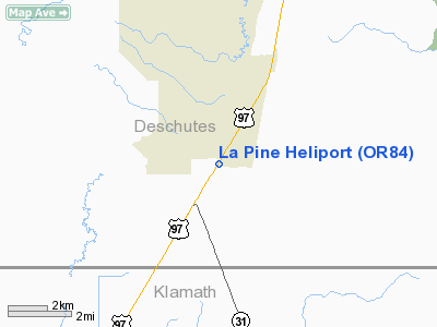
Location & QuickFacts
| FAA Information Effective: | 2008-09-25 |
| Airport Identifier: | OR84 |
| Airport Status: | Operational |
| Longitude/Latitude: | 121-30-28.0900W/43-39-52.4380N
-121.507803/43.664566 (Estimated) |
| Elevation: | 4230 ft / 1289.30 m (Estimated) |
| Land: | 0 acres |
| From nearest city: | 0 nautical miles N of La Pine, OR |
| Location: | Deschutes County, OR |
| Magnetic Variation: | 18E (1985) |
Owner & Manager
| Ownership: | Privately owned |
| Owner: | Midstate Electric Coop. Inc |
| Address: | 51340 N Hwy 97 P.o. Box 127
La Pine, OR 97739 |
| Phone number: | 503-536-2126 |
| Manager: | Bill Kopacz
GENERAL MANAGER, MIDSTATE ELECTRIC COOP. |
| Address: | 51340 N Hwy 97 P.o. Box 127
La Pine, OR 97739 |
| Phone number: | 503-536-2126
MIDSTATE'S EMERGENCY OUTAGE NUMBER IS 503-536-2165. |
Airport Operations and Facilities
| Airport Use: | Private |
| Wind indicator: | Yes |
| Segmented Circle: | No |
| Control Tower: | No |
| Lighting Schedule: | DUSK-DAWN |
| Sectional chart: | Klamath Falls |
| Region: | ANM - Northwest Mountain |
| Boundary ARTCC: | ZSE - Seattle |
| Tie-in FSS: | MMV - Mc Minnville |
| FSS Toll Free: | 1-800-WX-BRIEF |
Runway Information
Helipad H1
| Dimension: | 100 x 100 ft / 30.5 x 30.5 m |
| Surface: | ASPH, |
| |
Runway H1 |
Runway |
| Traffic Pattern: | Left | Left |
|
Radio Navigation Aids
| ID |
Type |
Name |
Ch |
Freq |
Var |
Dist |
| RD | NDB | Bodey | | 411.00 | 18E | 44.1 nm |
| DSD | VORTAC | Deschutes | 123X | 117.60 | 18E | 36.4 nm |
Images and information placed above are from
http://www.airport-data.com/airport/OR84/
We thank them for the data!
| General Info
|
| Country |
United States
|
| State |
OREGON
|
| FAA ID |
OR84
|
| Latitude |
43-39-52.438N
|
| Longitude |
121-30-28.090W
|
| Elevation |
4230 feet
|
| Near City |
LA PINE
|
We don't guarantee the information is fresh and accurate. The data may
be wrong or outdated.
For more up-to-date information please refer to other sources.
|
|


