|
|
Ken Jernstedt Airfield Airport |
| Ken Jernstedt Airfield |
 |
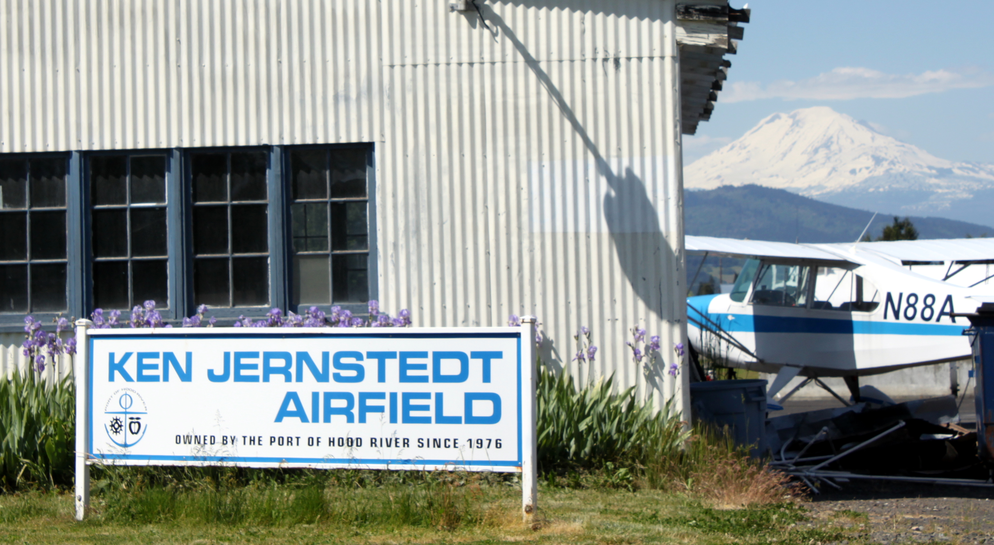
| Ken Jernstedt Airfield with Mount Adams in the background. |
| IATA: none – ICAO: FAA: 4S2 |
| Summary |
| Airport type |
Public |
| Operator |
Port of Hood River |
| Location |
Hood River, Oregon |
| Elevation AMSL |
631 ft / 192.3 m |
| Coordinates |
45°40′21.4260″N 121°32′11.2650″W / 45.67261833°N 121.5364625°W / 45.67261833; -121.5364625Coordinates: 45°40′21.4260″N 121°32′11.2650″W / 45.67261833°N 121.5364625°W / 45.67261833; -121.5364625 |
| Website |
[1] |
| Runways |
| Direction |
Length |
Surface |
| ft |
m |
| 7/25 |
3040 |
927 |
Asphalt |
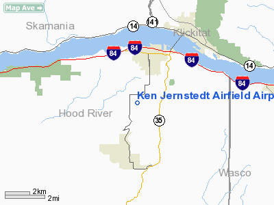
Ken Jernstedt Airfield (FAA LID: 4S2), is a public airport located two miles (3.2 km) south of the city of Hood River in Hood River County, Oregon, USA.
The above content comes from Wikipedia and is published under free licenses – click here to read more.
Location & QuickFacts
| FAA Information Effective: | 2008-09-25 |
| Airport Identifier: | 4S2 |
| Airport Status: | Operational |
| Longitude/Latitude: | 121-32-11.2650W/45-40-21.4260N
-121.536462/45.672618 (Estimated) |
| Elevation: | 631 ft / 192.33 m (Surveyed) |
| Land: | 120 acres |
| From nearest city: | 2 nautical miles S of Hood River, OR |
| Location: | Hood River County, OR |
| Magnetic Variation: | 19E (1985) |
Owner & Manager
| Ownership: | Publicly owned |
| Owner: | Port Of Hood River |
| Address: | Port Marina Park
Hood River, OR 97031 |
| Phone number: | 541-386-1645 |
| Manager: | Mike Doke |
| Address: | P O Box 239
Hood River, OR 97031 |
| Phone number: | 541-386-1645 |
Airport Operations and Facilities
| Airport Use: | Open to public |
| Wind indicator: | Yes |
| Segmented Circle: | Yes |
| Control Tower: | No |
| Lighting Schedule: | DUSK-DAWN
ACTVT REIL RWY 25 - 122.8. |
| Beacon Color: | Clear-Green (lighted land airport) |
| Landing fee charge: | No |
| Sectional chart: | Seattle |
| Region: | ANM - Northwest Mountain |
| Traffic Pattern Alt: | 869 ft |
| Boundary ARTCC: | ZSE - Seattle |
| Tie-in FSS: | MMV - Mc Minnville |
| FSS on Airport: | No |
| FSS Toll Free: | 1-800-WX-BRIEF |
| NOTAMs Facility: | MMV (NOTAM-d service avaliable) |
| Federal Agreements: | NGY |
Airport Communications
| CTAF: | 122.800 |
| Unicom: | 122.800 |
Airport Services
| Fuel available: | 100LLA |
| Airframe Repair: | MAJOR |
| Power Plant Repair: | MAJOR |
| Bottled Oxygen: | NONE |
| Bulk Oxygen: | NONE |
Runway Information
Runway 07/25
| Dimension: | 3040 x 75 ft / 926.6 x 22.9 m |
| Surface: | ASPH, Good Condition |
| Weight Limit: | Single wheel: 23000 lbs. |
| Edge Lights: | Low |
| |
Runway 07 |
Runway 25 |
| Traffic Pattern: | Left | Left |
| Markings: | Basic, Fair Condition | Basic, Fair Condition |
| Runway End Identifier: | | Yes |
| Obstruction: | 65 ft tree, 612.0 ft from runway, 60 ft left of centerline, 6:1 slope to clear | 15 ft road, 300.0 ft from runway, 6:1 slope to clear |
|
Radio Navigation Aids
| ID |
Type |
Name |
Ch |
Freq |
Var |
Dist |
| LBH | NDB | Laker | | 332.00 | 20E | 39.7 nm |
| CBU | TACAN | Columbia | 029X | | 20E | 45.5 nm |
| LTJ | VOR/DME | Klickitat | 070X | 112.30 | 21E | 18.5 nm |
| PDX | VOR/DME | Portland | 055X | 111.80 | 20E | 45.2 nm |
| BTG | VORTAC | Battle Ground | 113X | 116.60 | 21E | 44.5 nm |
| PDX | VOT | Portland Intl | | 111.00 | | 44.9 nm |
Remarks
- FREQUENT VEHICULAR TRAFFIC AER 7.
- ESTABD PRIOR TO 1959.
Images and information placed above are from
http://www.airport-data.com/airport/4S2/
We thank them for the data!
| General Info
|
| Country |
United States
|
| State |
OREGON
|
| FAA ID |
4S2
|
| Latitude |
45-40-21.426N
|
| Longitude |
121-32-11.265W
|
| Elevation |
631 feet
|
| Near City |
HOOD RIVER
|
We don't guarantee the information is fresh and accurate. The data may
be wrong or outdated.
For more up-to-date information please refer to other sources.
|
|