 |
|
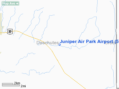
Location & QuickFacts
| FAA Information Effective: | 2008-09-25 |
| Airport Identifier: | 5OR5 |
| Airport Status: | Operational |
| Longitude/Latitude: | 121-07-06.0860W/44-02-04.4300N
-121.118357/44.034564 (Estimated) |
| Elevation: | 3490 ft / 1063.75 m (Estimated) |
| Land: | 0 acres |
| From nearest city: | 9 nautical miles E of Bend, OR |
| Location: | Deschutes County, OR |
| Magnetic Variation: | 18E (1985) |
Owner & Manager
| Ownership: | Privately owned |
| Owner: | Gary Adams
ALSO R BRAATZ AND T MORGAN. |
| Address: | 624 Seacliff Drive
Aptos, CA 95003 |
| Phone number: | 408-688-0817 |
| Manager: | Gary Adams |
| Address: | 624 Seacliff Drive
Aptos, CA 95003 |
| Phone number: | 503-389-0928 |
Airport Operations and Facilities
| Airport Use: | Private |
| Wind indicator: | Yes |
| Segmented Circle: | No |
| Control Tower: | No |
| Landing fee charge: | No |
| Sectional chart: | Klamath Falls |
| Region: | ANM - Northwest Mountain |
| Boundary ARTCC: | ZSE - Seattle |
| Tie-in FSS: | MMV - Mc Minnville |
| FSS on Airport: | No |
| FSS Toll Free: | 1-800-WX-BRIEF |
Runway Information
Runway 06/24
| Dimension: | 2640 x 100 ft / 804.7 x 30.5 m |
| Surface: | DIRT, |
| |
Runway 06 |
Runway 24 |
| Traffic Pattern: | Left | Left |
|
Radio Navigation Aids
| ID |
Type |
Name |
Ch |
Freq |
Var |
Dist |
| RD | NDB | Bodey | | 411.00 | 18E | 17.0 nm |
| DSD | VORTAC | Deschutes | 123X | 117.60 | 18E | 15.4 nm |
Remarks
- PRVDD USERS ARE ADZD OF LOW-LEVEL MIL TRNG ROUTE WHICH OVERLIES AIRPARK.
Images and information placed above are from
http://www.airport-data.com/airport/5OR5/
We thank them for the data!
| General Info
|
| Country |
United States
|
| State |
OREGON
|
| FAA ID |
5OR5
|
| Latitude |
44-02-04.430N
|
| Longitude |
121-07-06.086W
|
| Elevation |
3490 feet
|
| Near City |
BEND
|
We don't guarantee the information is fresh and accurate. The data may
be wrong or outdated.
For more up-to-date information please refer to other sources.
|
|


