 |
|
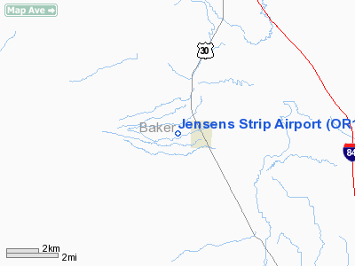
Location & QuickFacts
| FAA Information Effective: | 2008-09-25 |
| Airport Identifier: | OR11 |
| Airport Status: | Operational |
| Longitude/Latitude: | 117-57-28.7820W/44-54-44.5210N
-117.957995/44.912367 (Estimated) |
| Elevation: | 3350 ft / 1021.08 m (Estimated) |
| Land: | 0 acres |
| From nearest city: | 1 nautical miles W of Haines, OR |
| Location: | Baker County, OR |
| Magnetic Variation: | 18E (1985) |
Owner & Manager
| Ownership: | Privately owned |
| Owner: | Charles J Jensen |
| Address: | Rt 1 Box 1
Haines, OR 97833 |
| Phone number: | 503-856-3505 |
| Address: |
|
Airport Operations and Facilities
| Airport Use: | Private |
| Wind indicator: | Yes |
| Segmented Circle: | No |
| Control Tower: | No |
| Landing fee charge: | No |
| Sectional chart: | Seattle |
| Region: | ANM - Northwest Mountain |
| Boundary ARTCC: | ZLC - Salt Lake City |
| Tie-in FSS: | MMV - Mc Minnville |
| FSS on Airport: | No |
| FSS Toll Free: | 1-800-WX-BRIEF |
Airport Services
| Airframe Repair: | NONE |
| Power Plant Repair: | NONE |
Runway Information
Runway N/S
| Dimension: | 1500 x 50 ft / 457.2 x 15.2 m |
| Surface: | TURF, |
| |
Runway N |
Runway S |
| Traffic Pattern: | Left | Left |
|
Radio Navigation Aids
| ID |
Type |
Name |
Ch |
Freq |
Var |
Dist |
| LGD | NDB | La Grande | | 296.00 | 17E | 25.9 nm |
| BKE | VOR/DME | Baker City | 100X | 115.30 | 20E | 7.7 nm |
Remarks
- STRIP NOT ON N-S SECTION LINE.
- ESTABD PRIOR TO 1959.
Images and information placed above are from
http://www.airport-data.com/airport/OR11/
We thank them for the data!
| General Info
|
| Country |
United States
|
| State |
OREGON
|
| FAA ID |
OR11
|
| Latitude |
44-54-44.521N
|
| Longitude |
117-57-28.782W
|
| Elevation |
3350 feet
|
| Near City |
HAINES
|
We don't guarantee the information is fresh and accurate. The data may
be wrong or outdated.
For more up-to-date information please refer to other sources.
|
|


