 |
|
Location & QuickFacts
| FAA Information Effective: | 2008-09-25 |
| Airport Identifier: | 7OR8 |
| Airport Status: | Operational |
| Longitude/Latitude: | 119-17-22.8450W/44-05-25.5360N
-119.289679/44.090427 (Estimated) |
| Elevation: | 4560 ft / 1389.89 m (Estimated) |
| Land: | 0 acres |
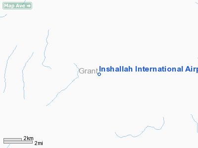
| From nearest city: | 15 nautical miles SW of Seneca, OR |
| Location: | Grant County, OR |
| Magnetic Variation: | 18E (1985) |
Owner & Manager
| Ownership: | Publicly owned |
| Owner: | Inshallah Ranch Inc |
| Address: | Izee Route
Canyon City, OR 97820 |
| Phone number: | 503-477-3817 |
| Address: |
|
Airport Operations and Facilities
| Airport Use: | Private |
| Wind indicator: | Yes |
| Segmented Circle: | No |
| Control Tower: | No |
| Landing fee charge: | No |
| Sectional chart: | Klamath Falls |
| Region: | ANM - Northwest Mountain |
| Boundary ARTCC: | ZSE - Seattle |
| Tie-in FSS: | MMV - Mc Minnville |
| FSS on Airport: | No |
| FSS Toll Free: | 1-800-WX-BRIEF |
Runway Information
Runway 18/36
| Dimension: | 3200 x 70 ft / 975.4 x 21.3 m |
| Surface: | GRAVEL, |
| |
Runway 18 |
Runway 36 |
| Traffic Pattern: | Left | Left |
|
Radio Navigation Aids
| ID |
Type |
Name |
Ch |
Freq |
Var |
Dist |
| ILR | VOR/DME | Wildhorse | 085X | 113.80 | 18E | 33.2 nm |
| IMB | VORTAC | Kimberly | 103X | 115.60 | 20E | 38.1 nm |
Remarks
Images and information placed above are from
http://www.airport-data.com/airport/7OR8/
We thank them for the data!
| General Info
|
| Country |
United States
|
| State |
OREGON
|
| FAA ID |
7OR8
|
| Latitude |
44-05-25.536N
|
| Longitude |
119-17-22.845W
|
| Elevation |
4560 feet
|
| Near City |
SENECA
|
We don't guarantee the information is fresh and accurate. The data may
be wrong or outdated.
For more up-to-date information please refer to other sources.
|
|


