 |
|
Location & QuickFacts
| FAA Information Effective: | 2008-09-25 |
| Airport Identifier: | 0OR2 |
| Airport Status: | Operational |
| Longitude/Latitude: | 123-27-04.2190W/42-07-59.4220N
-123.451172/42.133173 (Estimated) |
| Elevation: | 1200 ft / 365.76 m (Estimated) |
| Land: | 0 acres |
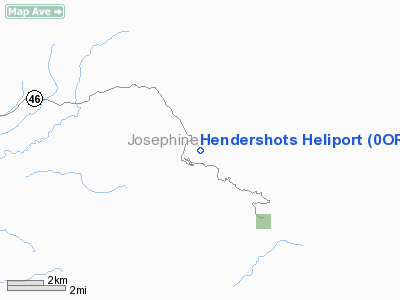
| From nearest city: | 3 nautical miles SW of Merlin, OR |
| Location: | Josephine County, OR |
| Magnetic Variation: | 18E (1985) |
Owner & Manager
| Ownership: | Privately owned |
| Owner: | Jimmy L Hendershot Sr |
| Address: | 5470 Azalea Dr
Grants Pass, OR 97526 |
| Manager: | Jimmy L Hendershot Sr |
| Address: | 5470 Azalea Dr
Grants Pass, OR 97526 |
Airport Operations and Facilities
| Airport Use: | Private |
| Segmented Circle: | No |
| Control Tower: | No |
| Sectional chart: | Klamath Falls |
| Region: | ANM - Northwest Mountain |
| Boundary ARTCC: | ZSE - Seattle |
| Tie-in FSS: | MMV - Mc Minnville |
| FSS on Airport: | No |
| FSS Toll Free: | 1-800-WX-BRIEF |
Airport Services
| Airframe Repair: | NONE |
| Power Plant Repair: | NONE |
Runway Information
Helipad H1
| Dimension: | 50 x 50 ft / 15.2 x 15.2 m |
| Surface: | TURF, |
| |
Runway H1 |
Runway |
| Traffic Pattern: | Left | Left |
|
Radio Navigation Aids
| ID |
Type |
Name |
Ch |
Freq |
Var |
Dist |
| MEF | NDB | Medford | | 356.00 | 19E | 29.8 nm |
| MOG | NDB | Montague | | 404.00 | 19E | 49.7 nm |
| OED | VORTAC | Rogue Valley | 083X | 113.60 | 19E | 31.7 nm |
| CEC | VORTAC | Crescent City | 027X | 109.00 | 19E | 41.2 nm |
| MFR | VOT | Medford-jackson County | | 117.20 | | 29.3 nm |
Images and information placed above are from
http://www.airport-data.com/airport/0OR2/
We thank them for the data!
| General Info
|
| Country |
United States
|
| State |
OREGON
|
| FAA ID |
0OR2
|
| Latitude |
42-07-59.422N
|
| Longitude |
123-27-04.219W
|
| Elevation |
1200 feet
|
| Near City |
MERLIN
|
We don't guarantee the information is fresh and accurate. The data may
be wrong or outdated.
For more up-to-date information please refer to other sources.
|
|


