 |
|
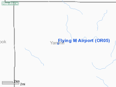
Location & QuickFacts
| FAA Information Effective: | 2008-09-25 |
| Airport Identifier: | OR05 |
| Airport Status: | Operational |
| Longitude/Latitude: | 123-21-20.3950W/45-21-43.4030N
-123.355665/45.362056 (Estimated) |
| Elevation: | 448 ft / 136.55 m (Surveyed) |
| Land: | 14 acres |
| From nearest city: | 7 nautical miles W of Yamhill, OR |
| Location: | Yamhill County, OR |
| Magnetic Variation: | 19E (1985) |
Owner & Manager
| Ownership: | Privately owned |
| Owner: | Bryce G. Mitchell |
| Address: | 23029 Nw Flying M Rd
Yamhill, OR 97148 |
| Phone number: | 503-662-3222 |
| Address: |
|
Airport Operations and Facilities
| Airport Use: | Private |
| Wind indicator: | Yes |
| Segmented Circle: | No |
| Control Tower: | No |
| Landing fee charge: | No |
| Sectional chart: | Seattle |
| Region: | ANM - Northwest Mountain |
| Boundary ARTCC: | ZSE - Seattle |
| Tie-in FSS: | MMV - Mc Minnville |
| FSS on Airport: | No |
| FSS Toll Free: | 1-800-WX-BRIEF |
Airport Services
| Airframe Repair: | NONE |
| Power Plant Repair: | NONE |
| Bottled Oxygen: | NONE |
| Bulk Oxygen: | NONE |
Runway Information
Runway 07/25
| Dimension: | 2125 x 40 ft / 647.7 x 12.2 m |
| Surface: | TURF-GRVL, Fair Condition
CENTER 15' GRAVELLED. |
| |
Runway 07 |
Runway 25 |
| Traffic Pattern: | Left | Left |
| Obstruction: | 70 ft trees mtn, 55.0 ft from runway | 45 ft trees, 250.0 ft from runway, 90 ft right of centerline, 5:1 slope to clear
100' TREES 150R AND 50' TREES ON CNTRLN AT 1000'.
ABRUPT 5' RISE IN TERRAIN TO THRS: 30' TREES 50'R AT 400' BYD THR. |
|
Radio Navigation Aids
| ID |
Type |
Name |
Ch |
Freq |
Var |
Dist |
| PND | NDB | Banks | | 356.00 | 21E | 20.7 nm |
| LBH | NDB | Laker | | 332.00 | 20E | 39.2 nm |
| LWG | NDB | Lewisburg | | 225.00 | 18E | 45.1 nm |
| PEN | NDB | Karpen | | 201.00 | 20E | 47.7 nm |
| CBU | TACAN | Columbia | 029X | | 20E | 34.2 nm |
| UBG | VOR/DME | Newberg | 121X | 117.40 | 21E | 16.0 nm |
| PDX | VOR/DME | Portland | 055X | 111.80 | 20E | 34.5 nm |
| BTG | VORTAC | Battle Ground | 113X | 116.60 | 21E | 39.6 nm |
| HIO | VOT | Portland-hillsboro | | 115.20 | | 20.2 nm |
| PDX | VOT | Portland Intl | | 111.00 | | 34.8 nm |
Remarks
- GRAVEL ACCESS TRAIL CROSSES MIDPOINT RWY.
-
- NO NIGHT LNDGS OR TKOFS ON ARPT.
- 6 FT THICK TIMBER BARRIER 25 FT BEYOND RY TO WEST.
Images and information placed above are from
http://www.airport-data.com/airport/OR05/
We thank them for the data!
| General Info
|
| Country |
United States
|
| State |
OREGON
|
| FAA ID |
OR05
|
| Latitude |
45-21-43.403N
|
| Longitude |
123-21-20.395W
|
| Elevation |
448 feet
|
| Near City |
YAMHILL
|
We don't guarantee the information is fresh and accurate. The data may
be wrong or outdated.
For more up-to-date information please refer to other sources.
|
|


