 |
|
Location & QuickFacts
| FAA Information Effective: | 2008-09-25 |
| Airport Identifier: | 9OR7 |
| Airport Status: | Operational |
| Longitude/Latitude: | 123-04-43.0000W/45-36-14.0000N
-123.078611/45.603889 (Estimated) |
| Elevation: | 200 ft / 60.96 m (Estimated) |
| Land: | 0 acres |
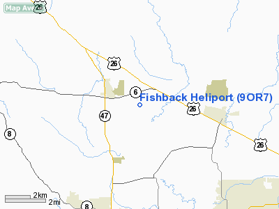
| From nearest city: | 2 nautical miles SE of Banks, OR |
| Location: | Washington County, OR |
| Magnetic Variation: | () |
Owner & Manager
| Ownership: | Privately owned |
| Owner: | Keith Fishback |
| Address: | 11375 Nw Roy Road
Banks, OR 97106 |
| Phone number: | 503-324-2119 |
| Manager: | Keith Fishback |
| Address: | 11375 Nw Roy Road
Banks, OR 97106 |
| Phone number: | 503-324-2119 |
Airport Operations and Facilities
| Airport Use: | Private |
| Control Tower: | No |
| Sectional chart: | Seattle |
| Region: | ANM - Northwest Mountain |
| Boundary ARTCC: | ZSE - Seattle |
| Tie-in FSS: | MMV - Mc Minnville |
| FSS Toll Free: | 1-800-WX-BRIEF |
Runway Information
Helipad H1
| Dimension: | 40 x 40 ft / 12.2 x 12.2 m |
| Surface: | CONC, |
| |
Runway H1 |
Runway |
| Traffic Pattern: | Left | Left |
|
Radio Navigation Aids
| ID |
Type |
Name |
Ch |
Freq |
Var |
Dist |
| PND | NDB | Banks | | 356.00 | 21E | 2.1 nm |
| LBH | NDB | Laker | | 332.00 | 20E | 26.2 nm |
| LSO | NDB | Kelso | | 256.00 | 21E | 33.9 nm |
| PEN | NDB | Karpen | | 201.00 | 20E | 38.6 nm |
| CBU | TACAN | Columbia | 029X | | 20E | 19.7 nm |
| UBG | VOR/DME | Newberg | 121X | 117.40 | 21E | 15.7 nm |
| PDX | VOR/DME | Portland | 055X | 111.80 | 20E | 19.9 nm |
| AST | VOR/DME | Astoria | 087X | 114.00 | 19E | 47.4 nm |
| BTG | VORTAC | Battle Ground | 113X | 116.60 | 21E | 22.2 nm |
| HIO | VOT | Portland-hillsboro | | 115.20 | | 6.7 nm |
| PDX | VOT | Portland Intl | | 111.00 | | 20.1 nm |
Images and information placed above are from
http://www.airport-data.com/airport/9OR7/
We thank them for the data!
| General Info
|
| Country |
United States
|
| State |
OREGON
|
| FAA ID |
9OR7
|
| Latitude |
43-31-06.539N
|
| Longitude |
119-05-39.772W
|
| Elevation |
4450 feet
|
| Near City |
HINES
|
We don't guarantee the information is fresh and accurate. The data may
be wrong or outdated.
For more up-to-date information please refer to other sources.
|
|


