 |
|
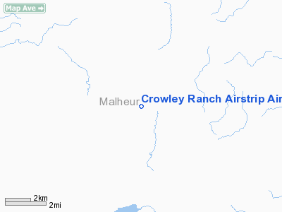
Crowley Ranch Airstrip Airport |
Location & QuickFacts
| FAA Information Effective: | 2008-09-25 |
| Airport Identifier: | 78OR |
| Airport Status: | Operational |
| Longitude/Latitude: | 117-53-39.6440W/43-18-28.5690N
-117.894346/43.307936 (Estimated) |
| Elevation: | 4128 ft / 1258.21 m (Estimated) |
| Land: | 0 acres |
| From nearest city: | 27 nautical miles SE of Crowley, OR |
| Location: | Malheur County, OR |
| Magnetic Variation: | 17E (1985) |
Owner & Manager
| Ownership: | Privately owned |
| Owner: | Ronald J. Sutphin |
| Address: | Crowley Ranch Box Q
Vale, OR 97918 |
| Phone number: | 503-495-2300 |
| Address: |
|
Airport Operations and Facilities
| Airport Use: | Private |
| Wind indicator: | Yes |
| Segmented Circle: | No |
| Control Tower: | No |
| Sectional chart: | Klamath Falls |
| Region: | ANM - Northwest Mountain |
| Boundary ARTCC: | ZLC - Salt Lake City |
| Tie-in FSS: | MMV - Mc Minnville |
| FSS Toll Free: | 1-800-WX-BRIEF |
Runway Information
Runway 03/21
| Dimension: | 2500 x 32 ft / 762.0 x 9.8 m |
| Surface: | GRVL, |
| |
Runway 03 |
Runway 21 |
| Traffic Pattern: | Left | Left |
| Obstruction: | | 5 ft fence, 200.0 ft from runway |
|
Radio Navigation Aids
| ID |
Type |
Name |
Ch |
Freq |
Var |
Dist |
| ILR | VOR/DME | Wildhorse | 085X | 113.80 | 18E | 49.4 nm |
| REO | VORTAC | Rome | 072X | 112.50 | 19E | 43.1 nm |
Images and information placed above are from
http://www.airport-data.com/airport/78OR/
We thank them for the data!
| General Info
|
| Country |
United States
|
| State |
OREGON
|
| FAA ID |
78OR
|
| Latitude |
43-18-28.569N
|
| Longitude |
117-53-39.644W
|
| Elevation |
4128 feet
|
| Near City |
CROWLEY
|
We don't guarantee the information is fresh and accurate. The data may
be wrong or outdated.
For more up-to-date information please refer to other sources.
|
|


