 |
|
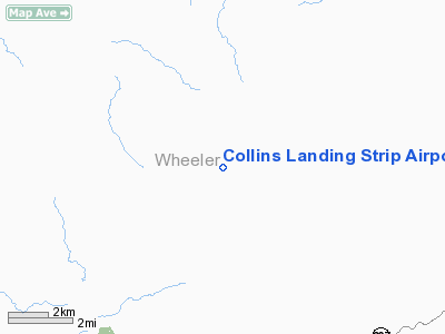
Collins Landing Strip Airport |
Location & QuickFacts
| FAA Information Effective: | 2008-09-25 |
| Airport Identifier: | 04OR |
| Airport Status: | Operational |
| Longitude/Latitude: | 120-12-04.0640W/44-44-59.4790N
-120.201129/44.749855 (Estimated) |
| Elevation: | 1500 ft / 457.20 m (Estimated) |
| Land: | 0 acres |
| From nearest city: | 10 nautical miles NW of Mitchell, OR |
| Location: | Wheeler County, OR |
| Magnetic Variation: | 19E (1985) |
Owner & Manager
| Ownership: | Privately owned |
| Owner: | John F. Collins |
| Address: | Twickenham Rt
Mitchell, OR 97750 |
| Phone number: | 503-462-3898 |
| Manager: | John F. Collins |
| Address: | Twickenham Rt
Mitchell, OR 97750 |
| Phone number: | 503-462-3898 |
Airport Operations and Facilities
| Airport Use: | Private |
| Wind indicator: | No |
| Segmented Circle: | No |
| Control Tower: | No |
| Landing fee charge: | No |
| Sectional chart: | Seattle |
| Region: | ANM - Northwest Mountain |
| Boundary ARTCC: | ZSE - Seattle |
| Tie-in FSS: | MMV - Mc Minnville |
| FSS on Airport: | No |
| FSS Toll Free: | 1-800-WX-BRIEF |
Runway Information
Runway E/W
| Dimension: | 1500 x 30 ft / 457.2 x 9.1 m |
| Surface: | DIRT, |
| |
Runway E |
Runway W |
| Traffic Pattern: | Left | Left |
|
Radio Navigation Aids
| ID |
Type |
Name |
Ch |
Freq |
Var |
Dist |
| RD | NDB | Bodey | | 411.00 | 18E | 44.0 nm |
| IMB | VORTAC | Kimberly | 103X | 115.60 | 20E | 21.8 nm |
Images and information placed above are from
http://www.airport-data.com/airport/04OR/
We thank them for the data!
| General Info
|
| Country |
United States
|
| State |
OREGON
|
| FAA ID |
04OR
|
| Latitude |
44-44-59.479N
|
| Longitude |
120-12-04.064W
|
| Elevation |
1500 feet
|
| Near City |
MITCHELL
|
We don't guarantee the information is fresh and accurate. The data may
be wrong or outdated.
For more up-to-date information please refer to other sources.
|
|


