 |
|
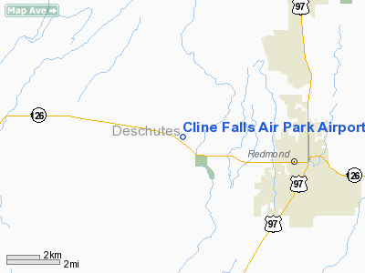
Cline Falls Air Park Airport |
Location & QuickFacts
| FAA Information Effective: | 2008-09-25 |
| Airport Identifier: | 3OR8 |
| Airport Status: | Operational |
| Longitude/Latitude: | 121-16-09.1310W/44-16-59.4280N
-121.269203/44.283174 (Estimated) |
| Elevation: | 2920 ft / 890.02 m (Estimated) |
| Land: | 10 acres |
| From nearest city: | 4 nautical miles W of Redmond, OR |
| Location: | Deschutes County, OR |
| Magnetic Variation: | 19E (1985) |
Owner & Manager
| Ownership: | Privately owned |
| Owner: | Cline Falls Arpt Assoc, Inc |
| Address: | 8301 W. Hwy 126
Redmond, OR 97756 |
| Phone number: | 503-548-5523 |
| Manager: | D.c. Kelly |
| Address: | 8301 W. Hwy 126
Redmond, OR 97756 |
| Phone number: | 503-548-5523 |
Airport Operations and Facilities
| Airport Use: | Private |
| Wind indicator: | Yes |
| Segmented Circle: | No |
| Control Tower: | No |
| Landing fee charge: | No |
| Sectional chart: | Klamath Falls |
| Region: | ANM - Northwest Mountain |
| Boundary ARTCC: | ZSE - Seattle |
| Tie-in FSS: | MMV - Mc Minnville |
| FSS on Airport: | No |
| FSS Toll Free: | 1-800-WX-BRIEF |
Airport Services
| Airframe Repair: | NONE |
| Power Plant Repair: | NONE |
Runway Information
Runway E/W
| Dimension: | 3000 x 150 ft / 914.4 x 45.7 m |
| Surface: | DIRT, |
| |
Runway E |
Runway W |
| Traffic Pattern: | Left | Left |
| Markings: | Nonstandard,
E/W WHITE BNDRY MKRS, WITH REFLECTORS. | Nonstandard, |
|
Radio Navigation Aids
| ID |
Type |
Name |
Ch |
Freq |
Var |
Dist |
| RD | NDB | Bodey | | 411.00 | 18E | 10.9 nm |
| DSD | VORTAC | Deschutes | 123X | 117.60 | 18E | 2.3 nm |
Remarks
- NO OBJECTION PRVDD 20:1 APCH TO RWY CLEARS HWY BY 17'.
Images and information placed above are from
http://www.airport-data.com/airport/3OR8/
We thank them for the data!
| General Info
|
| Country |
United States
|
| State |
OREGON
|
| FAA ID |
3OR8
|
| Latitude |
44-16-59.428N
|
| Longitude |
121-16-09.131W
|
| Elevation |
2920 feet
|
| Near City |
REDMOND
|
We don't guarantee the information is fresh and accurate. The data may
be wrong or outdated.
For more up-to-date information please refer to other sources.
|
|


