 |
|
Location & QuickFacts
| FAA Information Effective: | 2008-09-25 |
| Airport Identifier: | OR91 |
| Airport Status: | Operational |
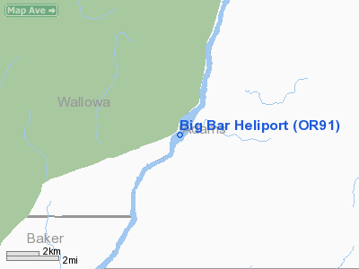
| Longitude/Latitude: | 116-44-48.5360W/45-07-29.5620N
-116.746816/45.124878 (Estimated) |
| Elevation: | 1800 ft / 548.64 m (Estimated) |
| Land: | 0 acres |
| From nearest city: | 8 nautical miles NE of Homestead, OR |
| Location: | Baker County, OR |
| Magnetic Variation: | 18E (1985) |
Owner & Manager
| Ownership: | Privately owned |
| Owner: | Idaho Power Company |
| Address: | 1109 Main St.
Boise, ID 83702 |
| Phone number: | 208-383-2501 |
| Manager: | Don Dedrick |
| Address: | 1109 Main St.
Boise, ID 83702 |
| Phone number: | 208-383-2501 |
Airport Operations and Facilities
| Airport Use: | Private |
| Wind indicator: | Yes |
| Segmented Circle: | No |
| Control Tower: | No |
| Sectional chart: | Great Falls |
| Region: | ANM - Northwest Mountain |
| Boundary ARTCC: | ZLC - Salt Lake City |
| Tie-in FSS: | MMV - Mc Minnville |
| FSS Toll Free: | 1-800-WX-BRIEF |
Runway Information
Helipad H1
| Dimension: | 50 x 50 ft / 15.2 x 15.2 m |
| Surface: | CONC, |
| |
Runway H1 |
Runway |
| Traffic Pattern: | Left | Left |
|
Radio Navigation Aids
| ID |
Type |
Name |
Ch |
Freq |
Var |
Dist |
| IOM | NDB | Mc Call | | 363.00 | 17E | 33.5 nm |
| BKE | VOR/DME | Baker City | 100X | 115.30 | 20E | 48.2 nm |
| DNJ | VORTAC | Donnelly | 109X | 116.20 | 19E | 31.5 nm |
Remarks
- PRVDD POWER POLES ARE OBSTRUCTION LGTD.
Images and information placed above are from
http://www.airport-data.com/airport/OR91/
We thank them for the data!
| General Info
|
| Country |
United States
|
| State |
OREGON
|
| FAA ID |
OR91
|
| Latitude |
45-07-29.562N
|
| Longitude |
116-44-48.536W
|
| Elevation |
1800 feet
|
| Near City |
HOMESTEAD
|
We don't guarantee the information is fresh and accurate. The data may
be wrong or outdated.
For more up-to-date information please refer to other sources.
|
|


