 |
|
Location & QuickFacts
| FAA Information Effective: | 2008-09-25 |
| Airport Identifier: | OR96 |
| Airport Status: | Operational |
| Longitude/Latitude: | 122-54-14.1630W/42-32-20.4470N
-122.903934/42.539013 (Estimated) |
| Elevation: | 1436 ft / 437.69 m (Estimated) |
| Land: | 0 acres |
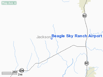
| From nearest city: | 13 nautical miles N of Medford, OR |
| Location: | Jackson County, OR |
| Magnetic Variation: | 18E (1985) |
Owner & Manager
| Ownership: | Privately owned |
| Owner: | P. Ratcliff C. Grady A.miller
CO-OWNERS INCLUDE: P. RATCLIFF, C. GRADY, A MILLER, DAN RENARD, GEORGE HOLBERTON, DON BRIGGS, AND STEVE PANKONIN |
| Address: |
|
| Manager: | Steve Pankonin |
| Address: | 15373 Jones Rd.
White City, OR 97503 |
| Phone number: | 503-826-9729 |
Airport Operations and Facilities
| Airport Use: | Private |
| Wind indicator: | Yes |
| Segmented Circle: | No |
| Control Tower: | No |
| Landing fee charge: | No |
| Sectional chart: | Klamath Falls |
| Region: | ANM - Northwest Mountain |
| Boundary ARTCC: | ZSE - Seattle |
| Tie-in FSS: | MMV - Mc Minnville |
| FSS on Airport: | No |
| FSS Toll Free: | 1-800-WX-BRIEF |
Airport Services
Runway Information
Runway 15/33
| Dimension: | 3000 x 130 ft / 914.4 x 39.6 m |
| Surface: | TURF-DIRT, |
| |
Runway 15 |
Runway 33 |
| Traffic Pattern: | Left | Left |
|
Radio Navigation Aids
| ID |
Type |
Name |
Ch |
Freq |
Var |
Dist |
| MEF | NDB | Medford | | 356.00 | 19E | 8.9 nm |
| RBG | NDB | Roseburg | | 400.00 | 20E | 46.4 nm |
| RBG | VOR/DME | Roseburg | 019X | 108.20 | 20E | 43.4 nm |
| OED | VORTAC | Rogue Valley | 083X | 113.60 | 19E | 3.6 nm |
| MFR | VOT | Medford-jackson County | | 117.20 | | 11.0 nm |
Remarks
- THERE IS SLIGHT GLIDER ACTIVITY NEAR AND OVER AIRPORT
- SKYDIVERS NEAR OR OVER ARPT.
- ON TKOF NO RIGHT TURN OUT UNTIL ONE MILE FROM END OF RY.
Images and information placed above are from
http://www.airport-data.com/airport/OR96/
We thank them for the data!
| General Info
|
| Country |
United States
|
| State |
OREGON
|
| FAA ID |
OR96
|
| Latitude |
42-32-20.447N
|
| Longitude |
122-54-14.163W
|
| Elevation |
1436 feet
|
| Near City |
MEDFORD
|
We don't guarantee the information is fresh and accurate. The data may
be wrong or outdated.
For more up-to-date information please refer to other sources.
|
|


