 |
|
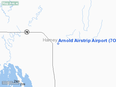
Location & QuickFacts
| FAA Information Effective: | 2008-09-25 |
| Airport Identifier: | 7OR1 |
| Airport Status: | Operational |
| Longitude/Latitude: | 118-34-33.7260W/43-25-09.5610N
-118.576035/43.419322 (Estimated) |
| Elevation: | 4140 ft / 1261.87 m (Estimated) |
| Land: | 0 acres |
| From nearest city: | 0 nautical miles N of Crane, OR |
| Location: | Harney County, OR |
| Magnetic Variation: | 18E (1985) |
Owner & Manager
| Ownership: | Privately owned |
| Owner: | Dick Arnold |
| Address: |
Crane, OR 97732 |
| Address: |
|
| Phone number: | 206-762-2570 |
Airport Operations and Facilities
| Airport Use: | Private |
| Wind indicator: | No |
| Segmented Circle: | No |
| Control Tower: | No |
| Landing fee charge: | No |
| Sectional chart: | Klamath Falls |
| Region: | ANM - Northwest Mountain |
| Boundary ARTCC: | ZLC - Salt Lake City |
| Tie-in FSS: | MMV - Mc Minnville |
| FSS on Airport: | No |
| FSS Toll Free: | 1-800-WX-BRIEF |
Airport Services
| Airframe Repair: | NONE |
| Power Plant Repair: | NONE |
Runway Information
Runway E/W
| Dimension: | 1500 x 30 ft / 457.2 x 9.1 m |
| Surface: | DIRT, Poor Condition |
| |
Runway E |
Runway W |
| Traffic Pattern: | Left | Left |
|
Radio Navigation Aids
| ID |
Type |
Name |
Ch |
Freq |
Var |
Dist |
| ILR | VOR/DME | Wildhorse | 085X | 113.80 | 18E | 19.5 nm |
Remarks
- USUALLY NOT MAINT, RUF, CATTLE ON RWY PART TIME.
- ESTABLISHED PRIOR TO MAY 1959.
Images and information placed above are from
http://www.airport-data.com/airport/7OR1/
We thank them for the data!
| General Info
|
| Country |
United States
|
| State |
OREGON
|
| FAA ID |
7OR1
|
| Latitude |
43-25-09.561N
|
| Longitude |
118-34-33.726W
|
| Elevation |
4140 feet
|
| Near City |
CRANE
|
We don't guarantee the information is fresh and accurate. The data may
be wrong or outdated.
For more up-to-date information please refer to other sources.
|
|


