|
|
| Arlington Municipal Airport |
 |
| IATA: none – ICAO: none – FAA LID: 1S8 |
| Summary |
| Airport type |
Public |
| Owner |
City of Arlington |
| Serves |
Arlington, Oregon |
| Elevation AMSL |
890 ft / 271 m |
| Coordinates |
45°42′59″N 120°10′04″W / 45.71639°N 120.16778°W / 45.71639; -120.16778 |
| Runways |
| Direction |
Length |
Surface |
| ft |
m |
| 6/24 |
5,000 |
1,524 |
Dirt |
| Statistics (2005) |
| Aircraft operations |
1,010 |
| Source: Federal Aviation Administration |
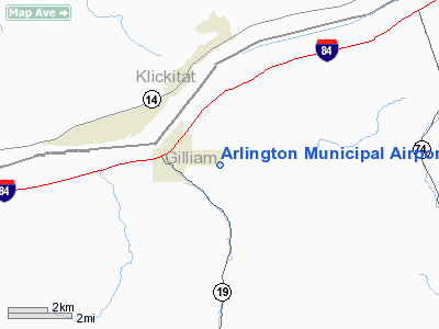
Arlington Municipal Airport (FAA LID: 1S8) is a public airport located one mile (2 km) northeast of the central business district of Arlington, in Gilliam County, Oregon, United States. It is owned by the City of Arlington.
Facilities and aircraft
Arlington Municipal Airport covers an area of 80 acres (32 ha) which contains one runway (6/24) with a dirt surface measuring 5,000 x 50 ft (1,524 x 15 m). For the 12-month period ending July 20, 2005, the airport had 1,010 aircraft operations: 99% general aviation and 1% air taxi.
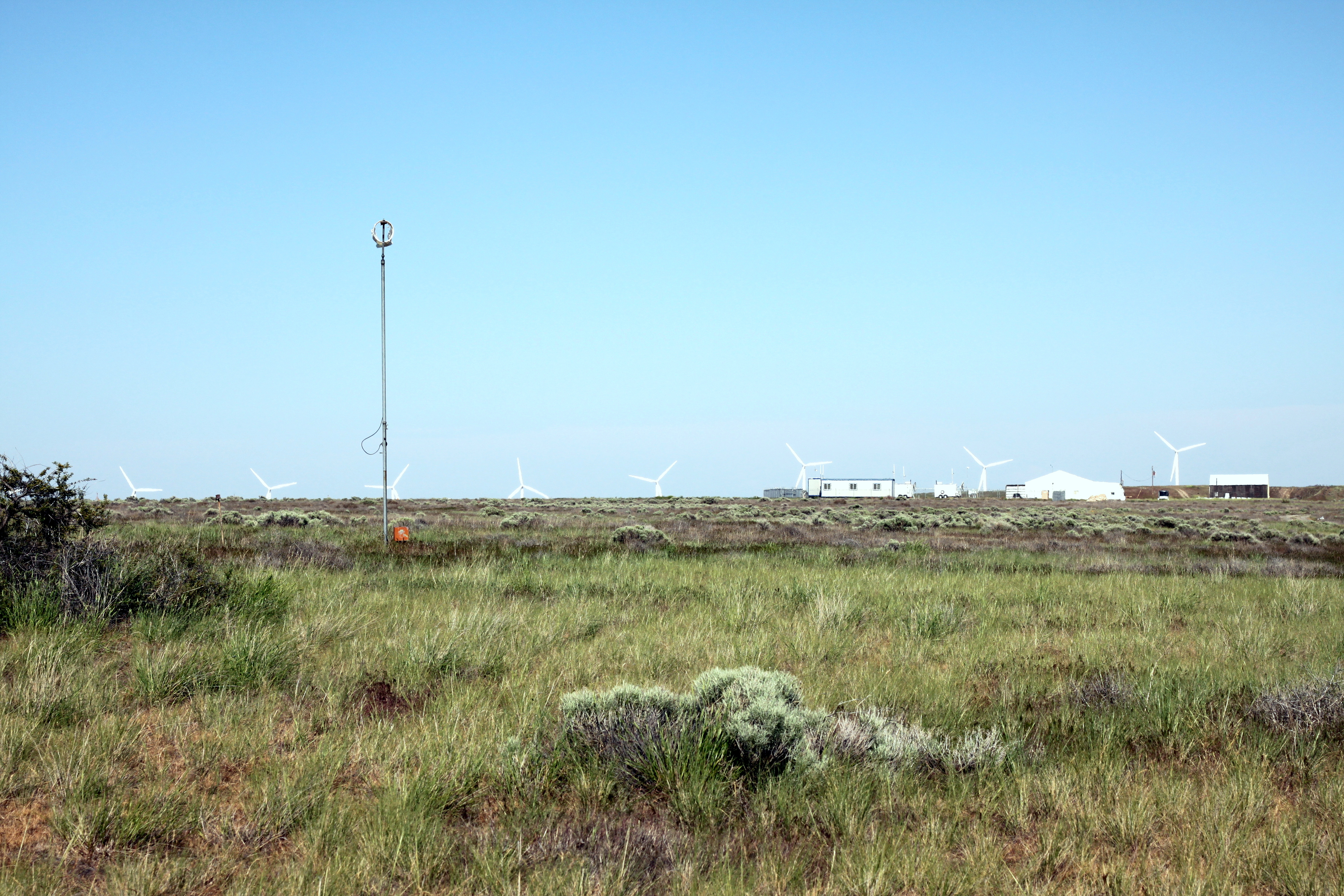
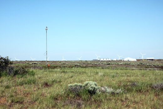
Insitu uses the airport as a testing location for one of their UAV's.
The above content comes from Wikipedia and is published under free licenses – click here to read more.
Location & QuickFacts
| FAA Information Effective: | 2008-09-25 |
| Airport Identifier: | 1S8 |
| Airport Status: | Operational |
| Longitude/Latitude: | 120-10-04.1510W/45-42-59.4660N
-120.167820/45.716518 (Estimated) |
| Elevation: | 890 ft / 271.27 m (Surveyed) |
| Land: | 80 acres |
| From nearest city: | 1 nautical miles NE of Arlington, OR |
| Location: | Gilliam County, OR |
| Magnetic Variation: | 19E (1985) |
Owner & Manager
| Ownership: | Publicly owned |
| Owner: | City Of Arlington |
| Address: | Box 68
Arlington, OR 97812 |
| Phone number: | 541-454-2743 |
| Manager: | Leslie Wetherell -city Recorder |
| Address: | City Of Arlington, Box 68
Arlington, OR 97812 |
| Phone number: | 541-454-2405 |
Airport Operations and Facilities
| Airport Use: | Open to public |
| Wind indicator: | Yes |
| Segmented Circle: | No |
| Control Tower: | No |
| Landing fee charge: | No |
| Sectional chart: | Seattle |
| Region: | ANM - Northwest Mountain |
| Boundary ARTCC: | ZSE - Seattle |
| Tie-in FSS: | MMV - Mc Minnville |
| FSS on Airport: | No |
| FSS Toll Free: | 1-800-WX-BRIEF |
| NOTAMs Facility: | MMV (NOTAM-d service avaliable) |
Airport Communications
Airport Services
| Airframe Repair: | NONE |
| Power Plant Repair: | NONE |
| Bottled Oxygen: | NONE |
| Bulk Oxygen: | NONE |
Runway Information
Runway 06/24
| Dimension: | 5000 x 50 ft / 1524.0 x 15.2 m |
| Surface: | DIRT, Fair Condition
HAS LOOSE GRVL ON SFC; CNTR PORTION GRVL; SFC ROUGH DUE TO BUNCH GRASS GROWTH. |
| |
Runway 06 |
Runway 24 |
| Traffic Pattern: | Left | Left |
|
Radio Navigation Aids
| ID |
Type |
Name |
Ch |
Freq |
Var |
Dist |
| LTJ | VOR/DME | Klickitat | 070X | 112.30 | 21E | 39.2 nm |
Remarks
- RESTRICTED AREA EAST.
- ESTABD PRIOR TO 1957.
Images and information placed above are from
http://www.airport-data.com/airport/1S8/
We thank them for the data!
| General Info
|
| Country |
United States
|
| State |
OREGON
|
| FAA ID |
1S8
|
| Latitude |
45-42-59.466N
|
| Longitude |
120-10-04.151W
|
| Elevation |
890 feet
|
| Near City |
ARLINGTON
|
We don't guarantee the information is fresh and accurate. The data may
be wrong or outdated.
For more up-to-date information please refer to other sources.
|
|