 |
|
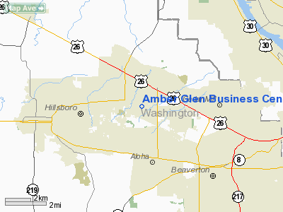
Amber Glen Business Center Hp Heliport |
Location & QuickFacts
| FAA Information Effective: | 2008-09-25 |
| Airport Identifier: | 86OR |
| Airport Status: | Operational |
| Longitude/Latitude: | 122-52-59.3640W/45-31-49.4200N
-122.883157/45.530394 (Estimated) |
| Elevation: | 200 ft / 60.96 m (Estimated) |
| Land: | 1 acres |
| From nearest city: | 3 nautical miles SE of Beaverton, OR |
| Location: | Washington County, OR |
| Magnetic Variation: | 19E (1985) |
Owner & Manager
| Ownership: | Privately owned |
| Owner: | Birtcher Properties
SCIENCE PARK. |
| Address: | 1600 Nw Compton Dr
Beaverton, OR 97006 |
| Phone number: | 503-690-1006 |
| Manager: | Oregon Graduate Center
SCIENCE PARK. |
| Address: | 1600 Nw Compton Dr
Beaverton, OR 97006 |
| Phone number: | 503-690-1006 |
Airport Operations and Facilities
| Airport Use: | Private |
| Wind indicator: | Yes |
| Segmented Circle: | Yes |
| Control Tower: | No |
| Landing fee charge: | No |
| Sectional chart: | Seattle |
| Region: | ANM - Northwest Mountain |
| Boundary ARTCC: | ZSE - Seattle |
| Tie-in FSS: | MMV - Mc Minnville |
| FSS on Airport: | No |
| FSS Toll Free: | 1-800-WX-BRIEF |
Runway Information
Helipad H1
| Dimension: | 25 x 25 ft / 7.6 x 7.6 m |
| Surface: | CONC, |
| |
Runway H1 |
Runway |
| Traffic Pattern: | Left | Left |
|
Radio Navigation Aids
| ID |
Type |
Name |
Ch |
Freq |
Var |
Dist |
| PND | NDB | Banks | | 356.00 | 21E | 9.1 nm |
| LBH | NDB | Laker | | 332.00 | 20E | 17.7 nm |
| LSO | NDB | Kelso | | 256.00 | 21E | 37.6 nm |
| PEN | NDB | Karpen | | 201.00 | 20E | 47.0 nm |
| CBU | TACAN | Columbia | 029X | | 20E | 12.0 nm |
| UBG | VOR/DME | Newberg | 121X | 117.40 | 21E | 11.4 nm |
| PDX | VOR/DME | Portland | 055X | 111.80 | 20E | 12.3 nm |
| BTG | VORTAC | Battle Ground | 113X | 116.60 | 21E | 17.9 nm |
| HIO | VOT | Portland-hillsboro | | 115.20 | | 2.8 nm |
| PDX | VOT | Portland Intl | | 111.00 | | 12.6 nm |
Images and information placed above are from
http://www.airport-data.com/airport/86OR/
We thank them for the data!
| General Info
|
| Country |
United States
|
| State |
OREGON
|
| FAA ID |
86OR
|
| Latitude |
45-31-49.420N
|
| Longitude |
122-52-59.364W
|
| Elevation |
200 feet
|
| Near City |
BEAVERTON
|
We don't guarantee the information is fresh and accurate. The data may
be wrong or outdated.
For more up-to-date information please refer to other sources.
|
|


