 |
|
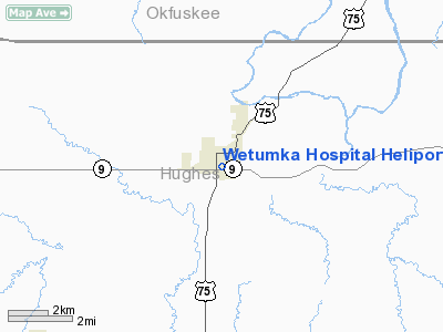
Wetumka Hospital Heliport |
Location & QuickFacts
| FAA Information Effective: | 2008-09-25 |
| Airport Identifier: | OK92 |
| Airport Status: | Operational |
| Longitude/Latitude: | 096-14-19.0230W/35-14-00.3180N
-96.238617/35.233422 (Estimated) |
| Elevation: | 745 ft / 227.08 m (Estimated) |
| Land: | 0 acres |
| From nearest city: | 0 nautical miles N of Wetumka, OK |
| Location: | Hughes County, OK |
| Magnetic Variation: | 06E (1985) |
Owner & Manager
| Ownership: | Privately owned |
| Owner: | Wetumka Clinic |
| Address: | 401 South Washita
Wetumka, OK 74883 |
| Phone number: | 405-452-3237 |
| Manager: | Vernon Stout |
| Address: | 202 North Main
Wetumka, OK 74883 |
| Phone number: | 405-452-3237 |
Airport Operations and Facilities
| Airport Use: | Private
MEDICAL |
| Wind indicator: | Yes |
| Segmented Circle: | No |
| Control Tower: | No |
| Lighting Schedule: | PHONE REQ
FOR PERIMETER LGTS CALL 405-452-3276. |
| Sectional chart: | Dallas-ft Worth |
| Region: | ASW - Southwest |
| Boundary ARTCC: | ZFW - Fort Worth |
| Tie-in FSS: | MLC - Mc Alester |
| FSS Toll Free: | 1-800-WX-BRIEF |
Runway Information
Helipad H1
| Dimension: | 30 x 30 ft / 9.1 x 9.1 m |
| Surface: | CONC, |
| |
Runway H1 |
Runway |
| Traffic Pattern: | Left | Left |
|
Radio Navigation Aids
| ID |
Type |
Name |
Ch |
Freq |
Var |
Dist |
| HDL | NDB | Holdenville | | 411.00 | 06E | 12.4 nm |
| HET | NDB | Henryetta | | 267.00 | 04E | 15.1 nm |
| SRE | NDB | Seminole | | 278.00 | 06E | 21.5 nm |
| GGU | NDB | Prague | | 314.00 | 06E | 29.0 nm |
| TZO | NDB | Bristow | | 251.00 | 05E | 33.5 nm |
| CQB | NDB | Tilghman | | 396.00 | 06E | 40.9 nm |
| CUH | NDB | Cushing | | 242.00 | 05E | 47.4 nm |
| MEE | VOR | Davis | | 108.60 | 06E | 49.9 nm |
| OKM | VOR/DME | Okmulgee | 096X | 114.90 | 08E | 33.1 nm |
| ADH | VOR/DME | Ada | 125X | 117.80 | 06E | 33.5 nm |
| GNP | VOR/DME | Glenpool | 043X | 110.60 | 06E | 43.4 nm |
| MLC | VORTAC | Mc Alester | 057X | 112.00 | 08E | 32.2 nm |
Images and information placed above are from
http://www.airport-data.com/airport/OK92/
We thank them for the data!
| General Info
|
| Country |
United States
|
| State |
OKLAHOMA
|
| FAA ID |
OK92
|
| Latitude |
35-14-00.318N
|
| Longitude |
096-14-19.023W
|
| Elevation |
745 feet
|
| Near City |
WETUMKA
|
We don't guarantee the information is fresh and accurate. The data may
be wrong or outdated.
For more up-to-date information please refer to other sources.
|
|


