 |
|
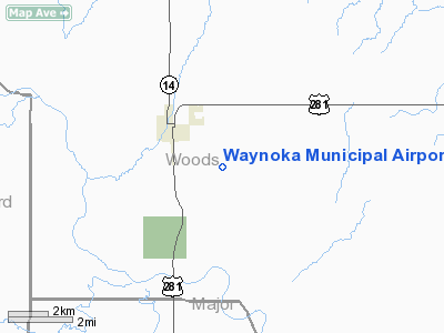
Location & QuickFacts
| FAA Information Effective: | 2008-09-25 |
| Airport Identifier: | 1K5 |
| Airport Status: | Operational |
| Longitude/Latitude: | 098-51-08.3280W/36-34-00.1210N
-98.852313/36.566700 (Estimated) |
| Elevation: | 1543 ft / 470.31 m (Estimated) |
| Land: | 80 acres |
| From nearest city: | 2 nautical miles SE of Waynoka, OK |
| Location: | Woods County, OK |
| Magnetic Variation: | 08E (1985) |
Owner & Manager
| Ownership: | Publicly owned |
| Owner: | City Of Waynoka |
| Address: | City Hall
Waynoka, OK 73860 |
| Phone number: | 580-824-2261 |
| Manager: | Ray Hull |
| Address: | P. O. Box 153
Burlington, OK 73722 |
| Phone number: | 580-431-2599
OR 580-431-2517. |
Airport Operations and Facilities
| Airport Use: | Open to public |
| Wind indicator: | Yes |
| Segmented Circle: | No |
| Control Tower: | No |
| Lighting Schedule: | DUSK-DAWN |
| Beacon Color: | Clear-Green (lighted land airport)
ROTG BCN OTS INDEFLY. |
| Landing fee charge: | No |
| Sectional chart: | Wichita |
| Region: | ASW - Southwest |
| Boundary ARTCC: | ZKC - Kansas City |
| Tie-in FSS: | MLC - Mc Alester |
| FSS on Airport: | No |
| FSS Toll Free: | 1-800-WX-BRIEF |
| NOTAMs Facility: | MLC (NOTAM-d service avaliable) |
| Federal Agreements: | NY1 |
Airport Communications
Airport Services
| Bottled Oxygen: | NONE |
| Bulk Oxygen: | NONE |
Runway Information
Runway 17/35
| Dimension: | 2507 x 50 ft / 764.1 x 15.2 m |
| Surface: | ASPH, Good Condition |
| Weight Limit: | Single wheel: 8000 lbs. |
| Edge Lights: | Low
LIRL OTS INDEFLY. |
| |
Runway 17 |
Runway 35 |
| Alignment: | 127 | 0 |
| Traffic Pattern: | Left | Right |
| Markings: | Basic, Good Condition | Basic, Good Condition |
|
Radio Navigation Aids
| ID |
Type |
Name |
Ch |
Freq |
Var |
Dist |
| AVK | NDB | Alva | | 203.00 | 08E | 15.5 nm |
| MDF | NDB | Mooreland/dcmsnd | | 284.00 | 08E | 17.1 nm |
| FAU | NDB | Fairview | | 246.00 | 07E | 24.8 nm |
| OWU | NDB | West Woodward | | 329.00 | 08E | 33.4 nm |
| BFK | NDB | Buffalo | | 215.00 | 08E | 41.1 nm |
| JWG | NDB | Watonga | | 359.00 | 07E | 47.1 nm |
| END | VORTAC | Vance | 101X | 115.40 | 09E | 47.0 nm |
| ANY | VORTAC | Anthony | 076X | 112.90 | 07E | 48.4 nm |
Remarks
- PARALLEL TWY CLSD INDEFLY.
- 3 INCH DROPOFF RY EDGE.
Images and information placed above are from
http://www.airport-data.com/airport/1K5/
We thank them for the data!
| General Info
|
| Country |
United States
|
| State |
OKLAHOMA
|
| FAA ID |
1K5
|
| Latitude |
36-34-00.121N
|
| Longitude |
098-51-08.328W
|
| Elevation |
1543 feet
|
| Near City |
WAYNOKA
|
We don't guarantee the information is fresh and accurate. The data may
be wrong or outdated.
For more up-to-date information please refer to other sources.
|
|


