|
|
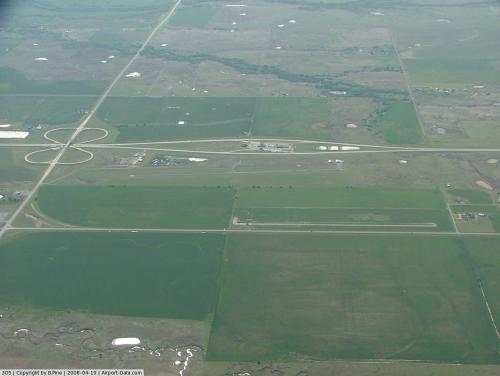 |
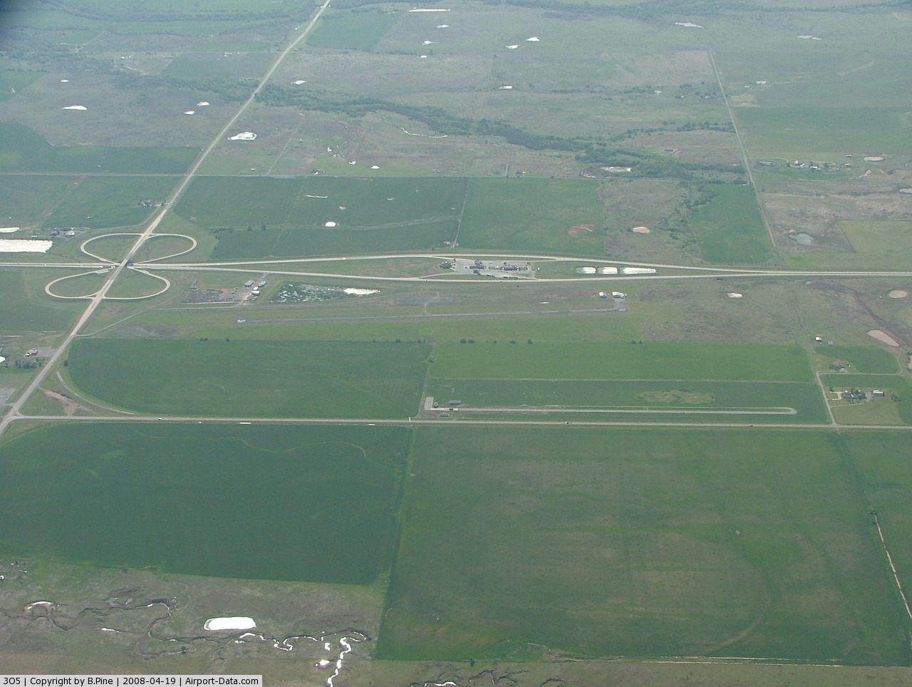
(Click on the photo to enlarge) |
Location & QuickFacts
| FAA Information Effective: | 2008-09-25 |
| Airport Identifier: | 3O5 |
| Airport Status: | Operational |
| Longitude/Latitude: | 098-24-21.1890W/34-22-21.3040N
-98.405886/34.372584 (Estimated) |
| Elevation: | 1058 ft / 322.48 m (Estimated) |
| Land: | 102 acres |
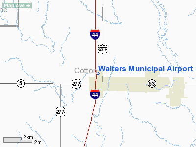
| From nearest city: | 4 nautical miles W of Walters, OK |
| Location: | Cotton County, OK |
| Magnetic Variation: | 07E (1985) |
Owner & Manager
| Ownership: | Publicly owned |
| Owner: | City Of Walters |
| Address: | 129 E Colorado, P. O. Box 485
Walters, OK 73572 |
| Phone number: | 580-875-3337 |
| Manager: | John Sheppard
CITY MANAGER. |
| Address: | Po Box 485
Walters, OK 73572 |
| Phone number: | 580-875-3337 |
Airport Operations and Facilities
| Airport Use: | Open to public |
| Wind indicator: | Yes |
| Segmented Circle: | Yes |
| Control Tower: | No |
| Lighting Schedule: | DUSK-DAWN |
| Beacon Color: | Clear-Green (lighted land airport)
ROTG BCN OTS INDEFLY. |
| Landing fee charge: | No |
| Sectional chart: | Dallas-ft Worth |
| Region: | ASW - Southwest |
| Boundary ARTCC: | ZFW - Fort Worth |
| Tie-in FSS: | MLC - Mc Alester |
| FSS on Airport: | No |
| FSS Toll Free: | 1-800-WX-BRIEF |
| NOTAMs Facility: | MLC (NOTAM-d service avaliable) |
| Federal Agreements: | NGY |
Airport Communications
Airport Services
| Airframe Repair: | NONE |
| Power Plant Repair: | NONE |
| Bottled Oxygen: | NONE |
| Bulk Oxygen: | NONE |
Runway Information
Runway 16/34
| Dimension: | 2900 x 50 ft / 883.9 x 15.2 m |
| Surface: | ASPH, Fair Condition |
| Weight Limit: | Single wheel: 7000 lbs. |
| Edge Lights: | Medium |
| |
Runway 16 |
Runway 34 |
| Longitude: | 098-24-24.2900W | 098-24-20.5500W |
| Latitude: | 34-22-23.2100N | 34-21-54.6900N |
| Elevation: | 1058.00 ft | 1058.00 ft |
| Alignment: | 127 | 127 |
| Traffic Pattern: | Left | Left |
| Markings: | Basic, Fair Condition | Basic, Fair Condition |
| Obstruction: | 30 ft pline, 1150.0 ft from runway, 31:1 slope to clear | 30 ft pline, 1000.0 ft from runway, 26:1 slope to clear |
|
Radio Navigation Aids
| ID |
Type |
Name |
Ch |
Freq |
Var |
Dist |
| FSI | FAN MARKER | Trail | | | 09E | 24.6 nm |
| PFL | NDB | Post | | 308.00 | 08E | 14.2 nm |
| OFZ | NDB | Trail | | 388.00 | 09E | 24.6 nm |
| SKB | NDB | Scotland | | 344.00 | 08E | 35.2 nm |
| VRT | NDB | Wilbarger | | 230.00 | 08E | 44.3 nm |
| OLR | NDB | Chickasha | | 290.00 | 07E | 48.9 nm |
| SHP | TACAN | Sheppard | 045X | | 10E | 23.8 nm |
| LAW | VOR/DME | Lawton | 031X | 109.40 | 09E | 7.4 nm |
| DUC | VOR/DME | Duncan | 047X | 111.00 | 09E | 24.3 nm |
| SPS | VORTAC | Wichita Falls | 074X | 112.70 | 10E | 25.0 nm |
| HBR | VORTAC | Hobart | 055X | 111.80 | 10E | 44.0 nm |
| LTS | VORTAC | Altus | 035X | 109.80 | 08E | 46.3 nm |
Images and information placed above are from
http://www.airport-data.com/airport/3O5/
We thank them for the data!
| General Info
|
| Country |
United States
|
| State |
OKLAHOMA
|
| FAA ID |
3O5
|
| Latitude |
34-22-21.304N
|
| Longitude |
098-24-21.189W
|
| Elevation |
1058 feet
|
| Near City |
WALTERS
|
We don't guarantee the information is fresh and accurate. The data may
be wrong or outdated.
For more up-to-date information please refer to other sources.
|
|