 |
|
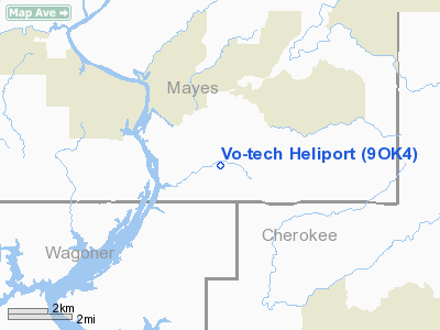
Location & QuickFacts
| FAA Information Effective: | 2008-09-25 |
| Airport Identifier: | 9OK4 |
| Airport Status: | Operational |
| Longitude/Latitude: | 095-13-00.8620W/36-05-30.3480N
-95.216906/36.091763 (Estimated) |
| Elevation: | 676 ft / 206.04 m (Estimated) |
| Land: | 0 acres |
| From nearest city: | 0 nautical miles N of Tulsa, OK |
| Location: | Tulsa County, OK |
| Magnetic Variation: | 05E (1985) |
Owner & Manager
| Ownership: | Publicly owned |
| Owner: | Tulsa Area Vo-tech School |
| Address: | 3420 South Memorial
Tulsa, OK 74145 |
| Phone number: | 918-627-7200 |
| Manager: | Wayman Penner |
| Address: | 3420 South Memorial
Tulsa, OK 74145 |
| Phone number: | 918-627-7200 |
Airport Operations and Facilities
| Airport Use: | Private |
| Wind indicator: | No |
| Segmented Circle: | No |
| Control Tower: | No |
| Landing fee charge: | No |
| Sectional chart: | Kansas City |
| Region: | ASW - Southwest |
| Boundary ARTCC: | ZME - Memphis |
| Tie-in FSS: | MLC - Mc Alester |
| FSS on Airport: | No |
| FSS Toll Free: | 1-800-WX-BRIEF |
Runway Information
Helipad H1
| Dimension: | 100 x 100 ft / 30.5 x 30.5 m |
| Surface: | CONC, |
| |
Runway H1 |
Runway |
| Traffic Pattern: | Left | Left |
|
Helipad H2
| Dimension: | 150 x 150 ft / 45.7 x 45.7 m |
| Surface: | CONC, |
| |
Runway H2 |
Runway |
| Traffic Pattern: | Left | Left |
|
Radio Navigation Aids
| ID |
Type |
Name |
Ch |
Freq |
Var |
Dist |
| TQH | NDB | Tahlequah | | 215.00 | 05E | 14.3 nm |
| MKO | NDB | Muskogee | | 306.00 | 06E | 30.1 nm |
| DW | NDB | Owaso | | 375.00 | 06E | 34.5 nm |
| SLG | NDB | Siloam Springs | | 284.00 | 04E | 35.8 nm |
| OWP | NDB | William Pogue | | 362.00 | 06E | 45.8 nm |
| IQS | NDB | Sallisaw | | 520.00 | 05E | 46.5 nm |
| MEE | VOR | Davis | | 108.60 | 06E | 26.8 nm |
| GNP | VOR/DME | Glenpool | 043X | 110.60 | 06E | 38.0 nm |
| OKM | VOR/DME | Okmulgee | 096X | 114.90 | 08E | 39.7 nm |
| DAK | VOR/DME | Drake | 025X | 108.80 | 07E | 49.6 nm |
| TUL | VORTAC | Tulsa | 091X | 114.40 | 08E | 28.4 nm |
| TUL | VOT | Tulsa Intl | | 109.00 | | 28.4 nm |
Remarks
Images and information placed above are from
http://www.airport-data.com/airport/9OK4/
We thank them for the data!
| General Info
|
| Country |
United States
|
| State |
OKLAHOMA
|
| FAA ID |
9OK4
|
| Latitude |
36-05-30.348N
|
| Longitude |
095-13-00.862W
|
| Elevation |
676 feet
|
| Near City |
TULSA
|
We don't guarantee the information is fresh and accurate. The data may
be wrong or outdated.
For more up-to-date information please refer to other sources.
|
|


