|
|
 |
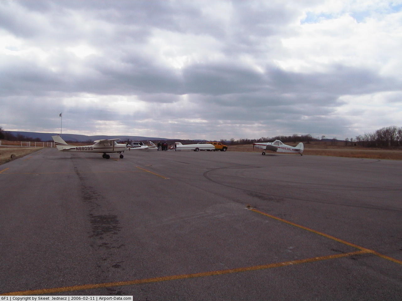
(Click on the photo to enlarge) |
 |
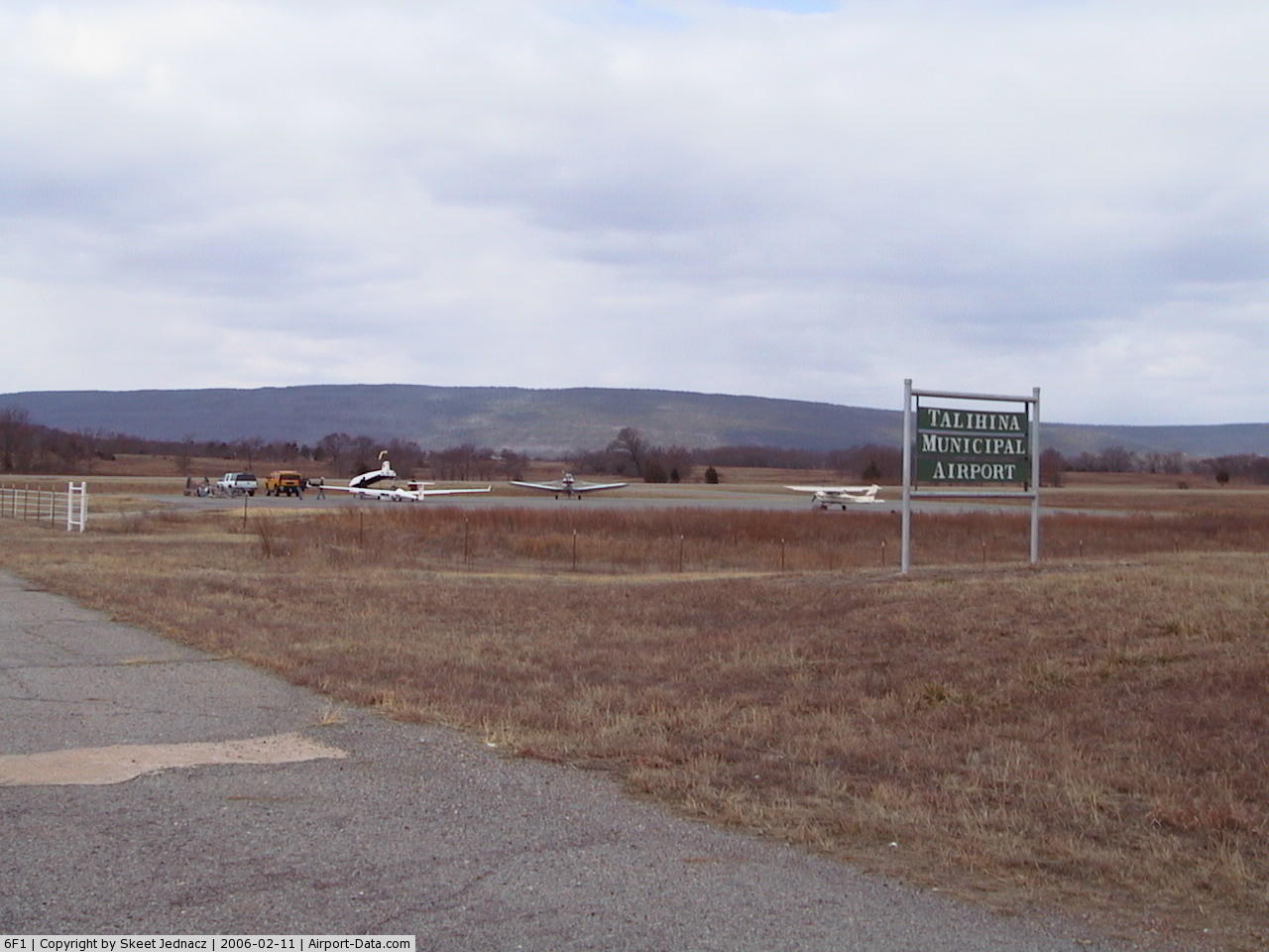
(Click on the photo to enlarge) |
Location & QuickFacts
| FAA Information Effective: | 2008-09-25 |
| Airport Identifier: | 6F1 |
| Airport Status: | Operational |
| Longitude/Latitude: | 095-04-25.6290W/34-42-27.9770N
-95.073786/34.707771 (Estimated) |
| Elevation: | 687 ft / 209.40 m (Surveyed) |
| Land: | 58 acres |
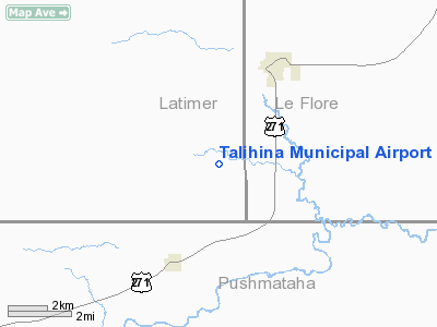
| From nearest city: | 3 nautical miles SW of Talihina, OK |
| Location: | Latimer County, OK |
| Magnetic Variation: | 05E (1985) |
Owner & Manager
| Ownership: | Publicly owned |
| Owner: | City Of Talihina |
| Address: | City Hall Po Box 457
Talihina, OK 74571 |
| Phone number: | 918-567-2194 |
| Manager: | Sheldon King
CITY COUNCIL MEMBER |
| Address: | City Hall Po Box 457
Talihina, OK 74571 |
| Phone number: | 918-413-4330 |
Airport Operations and Facilities
| Airport Use: | Open to public |
| Wind indicator: | Yes |
| Segmented Circle: | Yes |
| Control Tower: | No |
| Lighting Schedule: | DUSK-DAWN |
| Landing fee charge: | No |
| Sectional chart: | Dallas-ft Worth |
| Region: | ASW - Southwest |
| Boundary ARTCC: | ZFW - Fort Worth |
| Tie-in FSS: | MLC - Mc Alester |
| FSS on Airport: | No |
| FSS Toll Free: | 1-800-WX-BRIEF |
| NOTAMs Facility: | MLC (NOTAM-d service avaliable) |
| Federal Agreements: | NGY |
Airport Communications
Airport Services
| Airframe Repair: | NONE |
| Bottled Oxygen: | NONE |
| Bulk Oxygen: | NONE |
Runway Information
Runway 01/19
| Dimension: | 3300 x 60 ft / 1005.8 x 18.3 m |
| Surface: | ASPH, Good Condition |
| Weight Limit: | Single wheel: 12000 lbs. |
| Edge Lights: | Medium |
| |
Runway 01 |
Runway 19 |
| Longitude: | 095-04-31.9000W | 095-04-19.3570W |
| Latitude: | 34-42-12.5000N | 34-42-43.4530N |
| Elevation: | 683.00 ft | 684.00 ft |
| Alignment: | 19 | 127 |
| Traffic Pattern: | Left | Left |
| Markings: | Basic, Fair Condition | Basic, Fair Condition |
| Obstruction: | 25 ft trees, 290.0 ft from runway, 3:1 slope to clear | 35 ft trees, 400.0 ft from runway, 5:1 slope to clear |
|
Radio Navigation Aids
| ID |
Type |
Name |
Ch |
Freq |
Var |
Dist |
| AEE | NDB | Antlers | | 391.00 | 05E | 42.2 nm |
| IQS | NDB | Sallisaw | | 520.00 | 05E | 43.7 nm |
| MEZ | NDB | Mena | | 242.00 | 04E | 43.8 nm |
| HHW | NDB | Hugo | | 323.00 | 05E | 46.3 nm |
| IBO | NDB | Idabel | | 271.00 | 03E | 49.5 nm |
| PGO | VORTAC | Rich Mountain | 082X | 113.50 | 04E | 23.0 nm |
| MLC | VORTAC | Mc Alester | 057X | 112.00 | 08E | 36.0 nm |
Images and information placed above are from
http://www.airport-data.com/airport/6F1/
We thank them for the data!
| General Info
|
| Country |
United States
|
| State |
OKLAHOMA
|
| FAA ID |
6F1
|
| Latitude |
34-42-27.977N
|
| Longitude |
095-04-25.629W
|
| Elevation |
687 feet
|
| Near City |
TALIHINA
|
We don't guarantee the information is fresh and accurate. The data may
be wrong or outdated.
For more up-to-date information please refer to other sources.
|
|