 |
|
Location & QuickFacts
| FAA Information Effective: | 2008-09-25 |
| Airport Identifier: | 46OK |
| Airport Status: | Operational |
| Longitude/Latitude: | 097-50-40.2010W/36-13-16.1290N
-97.844500/36.221147 (Estimated) |
| Elevation: | 1120 ft / 341.38 m (Estimated) |
| Land: | 160 acres |
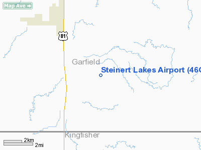
| From nearest city: | 3 nautical miles NE of Bison, OK |
| Location: | Garfield County, OK |
| Magnetic Variation: | 07E (1985) |
Owner & Manager
| Ownership: | Privately owned |
| Owner: | Cimarron Council, Inc. Bsa |
| Address: | 317 N. Grand
Enid, OK 73701 |
| Phone number: | 580-234-3652 |
| Manager: | Cimarron Council, Inc. Bsa
OTHER CONTACT: DAVID PAGE SCOUT EXECUTIVE |
| Address: | 317 N. Grand
Enid, OK 73701 |
| Phone number: | 580-234-3652 |
Airport Operations and Facilities
| Airport Use: | Private |
| Wind indicator: | Yes |
| Segmented Circle: | No |
| Control Tower: | No |
| Sectional chart: | Wichita |
| Region: | ASW - Southwest |
| Boundary ARTCC: | ZKC - Kansas City |
| Tie-in FSS: | MLC - Mc Alester |
| FSS Toll Free: | 1-800-WX-BRIEF |
Runway Information
Runway 17/35
| Dimension: | 2600 x 80 ft / 792.5 x 24.4 m |
| Surface: | TURF, |
| |
Runway 17 |
Runway 35 |
| Traffic Pattern: | Left | Left |
|
Radio Navigation Aids
| ID |
Type |
Name |
Ch |
Freq |
Var |
Dist |
| LCY | NDB | Logan County | | 326.00 | 07E | 30.7 nm |
| FAU | NDB | Fairview | | 246.00 | 07E | 30.9 nm |
| JWG | NDB | Watonga | | 359.00 | 07E | 35.5 nm |
| RQO | NDB | El Reno | | 335.00 | 07E | 45.3 nm |
| OK | NDB | Tuloo | | 406.00 | 07E | 46.5 nm |
| ODG | VOR/DME | Woodring | 027X | 109.00 | 08E | 9.6 nm |
| SWO | VOR/DME | Stillwater | 021X | 108.40 | 07E | 37.0 nm |
| PWA | VOR/DME | Wiley Post | 081X | 113.40 | 08E | 42.5 nm |
| END | VORTAC | Vance | 101X | 115.40 | 09E | 8.3 nm |
| IFI | VORTAC | Kingfisher | 094X | 114.70 | 09E | 26.2 nm |
| PER | VORTAC | Pioneer | 079X | 113.20 | 06E | 45.7 nm |
Images and information placed above are from
http://www.airport-data.com/airport/46OK/
We thank them for the data!
| General Info
|
| Country |
United States
|
| State |
OKLAHOMA
|
| FAA ID |
46OK
|
| Latitude |
36-13-16.129N
|
| Longitude |
097-50-40.201W
|
| Elevation |
1120 feet
|
| Near City |
BISON
|
We don't guarantee the information is fresh and accurate. The data may
be wrong or outdated.
For more up-to-date information please refer to other sources.
|
|


