|
|
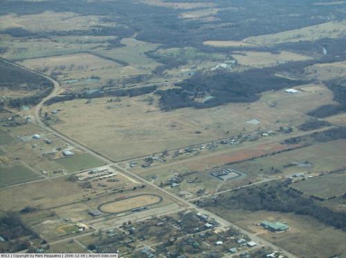 |
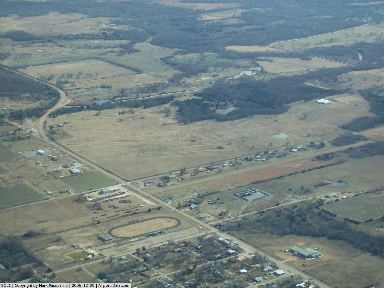
(Click on the photo to enlarge) |
Location & QuickFacts
| FAA Information Effective: | 2008-09-25 |
| Airport Identifier: | 8OL1 |
| Airport Status: | Operational |
| Longitude/Latitude: | 096-13-46.0220W/35-13-40.3190N
-96.229451/35.227866 (Estimated) |
| Elevation: | 771 ft / 235.00 m (Estimated) |
| Land: | 10 acres |
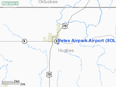
| From nearest city: | 1 nautical miles E of Wetumka, OK |
| Location: | Hughes County, OK |
| Magnetic Variation: | 06E (1985) |
Owner & Manager
| Ownership: | Privately owned |
| Owner: | Lloyd Ray Howard Rev Trust |
| Address: | 7915 E 139 Rd
Holdenville, OK 74848 |
| Phone number: | 405-546-2844 |
| Manager: | Lloyd Ray Howard Rev Trust |
| Address: | 7915 E 139 Rd
Holdenville, OK 74848 |
| Phone number: | 405-546-2844 |
Airport Operations and Facilities
| Airport Use: | Private |
| Wind indicator: | Yes |
| Segmented Circle: | No |
| Control Tower: | No |
| Landing fee charge: | No |
| Sectional chart: | Dallas-ft Worth |
| Region: | ASW - Southwest |
| Boundary ARTCC: | ZFW - Fort Worth |
| Tie-in FSS: | MLC - Mc Alester |
| FSS on Airport: | No |
| FSS Toll Free: | 1-800-WX-BRIEF |
Airport Services
| Airframe Repair: | NONE |
| Power Plant Repair: | NONE |
Runway Information
Runway 17/35
| Dimension: | 2500 x 80 ft / 762.0 x 24.4 m |
| Surface: | TURF-DIRT, Poor Condition |
| |
Runway 17 |
Runway 35 |
| Traffic Pattern: | Left | Left |
| Obstruction: | 15 ft road, 50.0 ft from runway, 3:1 slope to clear | 30 ft tree, 30.0 ft from runway, 80 ft left of centerline, 1:1 slope to clear |
|
Radio Navigation Aids
| ID |
Type |
Name |
Ch |
Freq |
Var |
Dist |
| HDL | NDB | Holdenville | | 411.00 | 06E | 12.5 nm |
| HET | NDB | Henryetta | | 267.00 | 04E | 15.0 nm |
| SRE | NDB | Seminole | | 278.00 | 06E | 22.0 nm |
| GGU | NDB | Prague | | 314.00 | 06E | 29.6 nm |
| TZO | NDB | Bristow | | 251.00 | 05E | 33.9 nm |
| CQB | NDB | Tilghman | | 396.00 | 06E | 41.4 nm |
| CUH | NDB | Cushing | | 242.00 | 05E | 47.9 nm |
| MEE | VOR | Davis | | 108.60 | 06E | 49.6 nm |
| OKM | VOR/DME | Okmulgee | 096X | 114.90 | 08E | 33.1 nm |
| ADH | VOR/DME | Ada | 125X | 117.80 | 06E | 33.5 nm |
| GNP | VOR/DME | Glenpool | 043X | 110.60 | 06E | 43.6 nm |
| MLC | VORTAC | Mc Alester | 057X | 112.00 | 08E | 31.6 nm |
Images and information placed above are from
http://www.airport-data.com/airport/8OL1/
We thank them for the data!
| General Info
|
| Country |
United States
|
| State |
OKLAHOMA
|
| FAA ID |
8OL1
|
| Latitude |
35-13-40.319N
|
| Longitude |
096-13-46.022W
|
| Elevation |
771 feet
|
| Near City |
WETUMKA
|
We don't guarantee the information is fresh and accurate. The data may
be wrong or outdated.
For more up-to-date information please refer to other sources.
|
|