 |
|
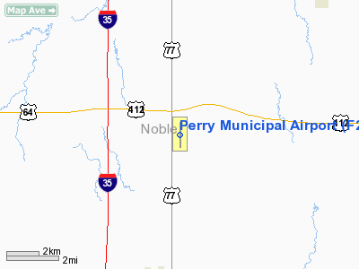
Location & QuickFacts
| FAA Information Effective: | 2008-09-25 |
| Airport Identifier: | F22 |
| Airport Status: | Operational |
| Longitude/Latitude: | 097-16-38.0000W/36-23-08.2000N
-97.277222/36.385611 (Estimated) |
| Elevation: | 1002 ft / 305.41 m (Surveyed) |
| Land: | 800 acres |
| From nearest city: | 5 nautical miles N of Perry, OK |
| Location: | Noble County, OK |
| Magnetic Variation: | 06E (1995) |
Owner & Manager
| Ownership: | Publicly owned |
| Owner: | City Of Perry |
| Address: | City Hall, Po Box 798
Perry, OK 73077 |
| Phone number: | 580-336-4241 |
| Manager: | Ty Engel |
| Address: | 15500 Cr 110
Perry, OK 73077 |
| Phone number: | 580-336-4001 |
Airport Operations and Facilities
| Airport Use: | Open to public |
| Wind indicator: | Yes |
| Segmented Circle: | Yes |
| Control Tower: | No |
| Lighting Schedule: | DUSK-DAWN
ACTVT MIRL RY 17/35 - CTAF. |
| Beacon Color: | Clear-Green (lighted land airport) |
| Landing fee charge: | No |
| Sectional chart: | Wichita |
| Region: | ASW - Southwest |
| Boundary ARTCC: | ZKC - Kansas City |
| Tie-in FSS: | MLC - Mc Alester |
| FSS on Airport: | No |
| FSS Toll Free: | 1-800-WX-BRIEF |
| NOTAMs Facility: | MLC (NOTAM-d service avaliable) |
| Federal Agreements: | NGPY |
Airport Communications
| CTAF: | 122.800 |
| Unicom: | 122.800 |
Airport Services
| Fuel available: | 100LLA |
| Airframe Repair: | MAJOR |
| Power Plant Repair: | MAJOR |
Runway Information
Runway 17/35
| Dimension: | 5110 x 75 ft / 1557.5 x 22.9 m |
| Surface: | ASPH, Good Condition |
| Weight Limit: | Single wheel: 75000 lbs.
Dual wheel: 130000 lbs. |
| Edge Lights: | Medium |
| |
Runway 17 |
Runway 35 |
| Longitude: | 097-16-38.1504W | 097-16-37.8506W |
| Latitude: | 36-23-33.4285N | 36-22-42.9072N |
| Elevation: | 974.00 ft | 1002.00 ft |
| Alignment: | 127 | 127 |
| Traffic Pattern: | Left | Left |
| Markings: | Non-precision instrument, Good Condition | Non-precision instrument, Good Condition |
| VASI: | 2-light PAPI on left side | 2-light PAPI on left side |
| Runway End Identifier: | Yes | Yes |
| Obstruction: | , 50:1 slope to clear | 15 ft road, 690.0 ft from runway, 32:1 slope to clear |
|
Radio Navigation Aids
| ID |
Type |
Name |
Ch |
Freq |
Var |
Dist |
| PN | NDB | Ponca | | 515.00 | 05E | 27.8 nm |
| LCY | NDB | Logan County | | 326.00 | 07E | 33.2 nm |
| CUH | NDB | Cushing | | 242.00 | 05E | 38.5 nm |
| CQB | NDB | Tilghman | | 396.00 | 06E | 45.7 nm |
| SWO | VOR/DME | Stillwater | 021X | 108.40 | 07E | 13.6 nm |
| ODG | VOR/DME | Woodring | 027X | 109.00 | 08E | 24.7 nm |
| PER | VORTAC | Pioneer | 079X | 113.20 | 06E | 22.4 nm |
| END | VORTAC | Vance | 101X | 115.40 | 09E | 31.1 nm |
| IFI | VORTAC | Kingfisher | 094X | 114.70 | 09E | 49.6 nm |
Remarks
- ULTRALIGHT ACTIVITY ON & INVOF ARPT.
- HEAVY MILITARY JET TFC DALGT.
- ESTAB PRIOR TO 1959.
Images and information placed above are from
http://www.airport-data.com/airport/F22/
We thank them for the data!
| General Info
|
| Country |
United States
|
| State |
OKLAHOMA
|
| FAA ID |
F22
|
| Latitude |
36-23-08.145N
|
| Longitude |
097-16-37.959W
|
| Elevation |
1002 feet
|
| Near City |
PERRY
|
We don't guarantee the information is fresh and accurate. The data may
be wrong or outdated.
For more up-to-date information please refer to other sources.
|
|


