 |
|
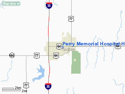
Perry Memorial Hospital Heliport |
Location & QuickFacts
| FAA Information Effective: | 2008-09-25 |
| Airport Identifier: | OK38 |
| Airport Status: | Operational |
| Longitude/Latitude: | 097-18-00.1540W/36-17-18.1460N
-97.300043/36.288374 (Estimated) |
| Elevation: | 1022 ft / 311.51 m (Estimated) |
| Land: | 0 acres |
| From nearest city: | 0 nautical miles N of Perry, OK |
| Location: | Noble County, OK |
| Magnetic Variation: | 07E (1985) |
Owner & Manager
| Ownership: | Privately owned |
| Owner: | Perry Meml Hospital Authority |
| Address: | 501 14th Street
Perry, OK 73077 |
| Phone number: | 405-336-3541 |
| Manager: | Joe Duerr, Ceo |
| Address: | 501 14th Street
Perry, OK 73077 |
| Phone number: | 405-336-3541 |
Airport Operations and Facilities
| Airport Use: | Private
MEDICAL. |
| Segmented Circle: | No |
| Control Tower: | No |
| Lighting Schedule: | PHONE REQ
FOR PERIMETER LGTS CALL 405-336-3541. |
| Sectional chart: | Wichita |
| Region: | ASW - Southwest |
| Boundary ARTCC: | ZKC - Kansas City |
| Tie-in FSS: | MLC - Mc Alester |
| FSS on Airport: | No |
| FSS Toll Free: | 1-800-WX-BRIEF |
Runway Information
Helipad H1
| Dimension: | 40 x 40 ft / 12.2 x 12.2 m |
| Surface: | CONC, |
| |
Runway H1 |
Runway |
| Traffic Pattern: | Left | Left |
|
Radio Navigation Aids
| ID |
Type |
Name |
Ch |
Freq |
Var |
Dist |
| LCY | NDB | Logan County | | 326.00 | 07E | 27.2 nm |
| PN | NDB | Ponca | | 515.00 | 05E | 33.7 nm |
| CUH | NDB | Cushing | | 242.00 | 05E | 35.0 nm |
| CQB | NDB | Tilghman | | 396.00 | 06E | 41.3 nm |
| SWO | VOR/DME | Stillwater | 021X | 108.40 | 07E | 11.3 nm |
| ODG | VOR/DME | Woodring | 027X | 109.00 | 08E | 24.2 nm |
| PWA | VOR/DME | Wiley Post | 081X | 113.40 | 08E | 48.5 nm |
| PER | VORTAC | Pioneer | 079X | 113.20 | 06E | 28.4 nm |
| END | VORTAC | Vance | 101X | 115.40 | 09E | 30.2 nm |
| IFI | VORTAC | Kingfisher | 094X | 114.70 | 09E | 44.9 nm |
Images and information placed above are from
http://www.airport-data.com/airport/OK38/
We thank them for the data!
| General Info
|
| Country |
United States
|
| State |
OKLAHOMA
|
| FAA ID |
OK38
|
| Latitude |
36-17-18.146N
|
| Longitude |
097-18-00.154W
|
| Elevation |
1022 feet
|
| Near City |
PERRY
|
We don't guarantee the information is fresh and accurate. The data may
be wrong or outdated.
For more up-to-date information please refer to other sources.
|
|


