 |
|
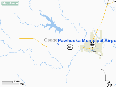
Location & QuickFacts
| FAA Information Effective: | 2008-09-25 |
| Airport Identifier: | H76 |
| Airport Status: | Operational |
| Longitude/Latitude: | 096-24-20.0490W/36-40-18.2140N
-96.405569/36.671726 (Estimated) |
| Elevation: | 1000 ft / 304.80 m (Surveyed) |
| Land: | 160 acres |
| From nearest city: | 4 nautical miles W of Pawhuska, OK |
| Location: | Osage County, OK |
| Magnetic Variation: | 06E (1985) |
Owner & Manager
| Ownership: | Publicly owned |
| Owner: | City Of Pawhuska |
| Address: | City Hall Po Box 539
Pawhuska, OK 74056 |
| Phone number: | 918-287-3576 |
| Manager: | Paul Mcalexander
CITY MANAGER. |
| Address: | City Hall Po Box 539
Pawhuska, OK 74056 |
| Phone number: | 918-287-3040 |
Airport Operations and Facilities
| Airport Use: | Open to public |
| Wind indicator: | Yes |
| Segmented Circle: | Yes |
| Control Tower: | No |
| Lighting Schedule: | DUSK-DAWN
ACTVT MIRL RY 17/35 - CTAF. |
| Beacon Color: | Clear-Green (lighted land airport) |
| Landing fee charge: | No |
| Sectional chart: | Kansas City |
| Region: | ASW - Southwest |
| Boundary ARTCC: | ZKC - Kansas City |
| Tie-in FSS: | MLC - Mc Alester |
| FSS on Airport: | No |
| FSS Toll Free: | 1-800-WX-BRIEF |
| NOTAMs Facility: | MLC (NOTAM-d service avaliable) |
Airport Communications
Airport Services
Runway Information
Runway 17/35
| Dimension: | 3200 x 60 ft / 975.4 x 18.3 m |
| Surface: | ASPH, Good Condition |
| Weight Limit: | Single wheel: 12500 lbs. |
| Edge Lights: | Medium |
| |
Runway 17 |
Runway 35 |
| Traffic Pattern: | Left | Left |
| Markings: | Basic, Good Condition | Basic, Good Condition |
| Obstruction: | 35 ft pline, 1390.0 ft from runway, 34:1 slope to clear | 17 ft pline, 820.0 ft from runway, 36:1 slope to clear |
|
Radio Navigation Aids
| ID |
Type |
Name |
Ch |
Freq |
Var |
Dist |
| OWP | NDB | William Pogue | | 362.00 | 06E | 32.4 nm |
| DW | NDB | Owaso | | 375.00 | 06E | 33.7 nm |
| PN | NDB | Ponca | | 515.00 | 05E | 34.7 nm |
| CFV | NDB | Coffeyville | | 212.00 | 05E | 47.4 nm |
| BVO | VOR/DME | Bartlesville | 126X | 117.90 | 08E | 21.1 nm |
| SWO | VOR/DME | Stillwater | 021X | 108.40 | 07E | 42.3 nm |
| GNP | VOR/DME | Glenpool | 043X | 110.60 | 06E | 49.8 nm |
| PER | VORTAC | Pioneer | 079X | 113.20 | 06E | 36.6 nm |
| TUL | VORTAC | Tulsa | 091X | 114.40 | 08E | 41.3 nm |
| TUL | VOT | Tulsa Intl | | 109.00 | | 41.3 nm |
Images and information placed above are from
http://www.airport-data.com/airport/H76/
We thank them for the data!
| General Info
|
| Country |
United States
|
| State |
OKLAHOMA
|
| FAA ID |
H76
|
| Latitude |
36-40-18.214N
|
| Longitude |
096-24-20.049W
|
| Elevation |
1000 feet
|
| Near City |
PAWHUSKA
|
We don't guarantee the information is fresh and accurate. The data may
be wrong or outdated.
For more up-to-date information please refer to other sources.
|
|


